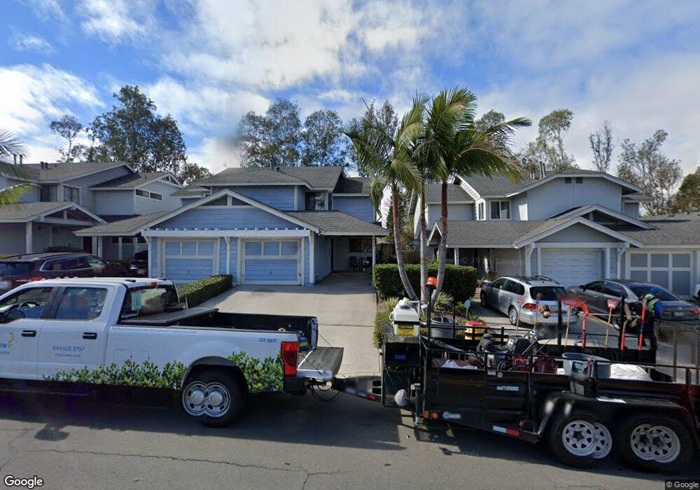
294 S 45th St San Diego, CA 92113
Mountain View NeighborhoodEstimated Value: $590,447 - $625,000
3
Beds
3
Baths
1,343
Sq Ft
$453/Sq Ft
Est. Value
About This Home
This home is located at 294 S 45th St, San Diego, CA 92113 and is currently estimated at $608,112, approximately $452 per square foot. 294 S 45th St is a home located in San Diego County with nearby schools including Porter Elementary School, Knox Middle, and Lincoln High School.
Ownership History
Date
Name
Owned For
Owner Type
Purchase Details
Closed on
Apr 14, 2022
Sold by
Mcclain Sharon D
Bought by
Mcclain Family Living Trust
Current Estimated Value
Purchase Details
Closed on
Jan 7, 1993
Bought by
Ford Sharon D
Purchase Details
Closed on
Nov 28, 1988
Purchase Details
Closed on
Sep 30, 1986
Create a Home Valuation Report for This Property
The Home Valuation Report is an in-depth analysis detailing your home's value as well as a comparison with similar homes in the area
Home Values in the Area
Average Home Value in this Area
Purchase History
| Date | Buyer | Sale Price | Title Company |
|---|---|---|---|
| Mcclain Family Living Trust | -- | Wexler Danniel J | |
| Ford Sharon D | $85,700 | -- | |
| -- | $93,000 | -- | |
| -- | $85,500 | -- |
Source: Public Records
Tax History Compared to Growth
Tax History
| Year | Tax Paid | Tax Assessment Tax Assessment Total Assessment is a certain percentage of the fair market value that is determined by local assessors to be the total taxable value of land and additions on the property. | Land | Improvement |
|---|---|---|---|---|
| 2025 | $1,827 | $149,057 | $41,586 | $107,471 |
| 2024 | $1,827 | $146,135 | $40,771 | $105,364 |
| 2023 | $1,786 | $143,271 | $39,972 | $103,299 |
| 2022 | $1,739 | $140,463 | $39,189 | $101,274 |
| 2021 | $1,727 | $137,710 | $38,421 | $99,289 |
| 2020 | $1,707 | $136,299 | $38,028 | $98,271 |
| 2019 | $1,677 | $133,628 | $37,283 | $96,345 |
| 2018 | $1,569 | $131,008 | $36,552 | $94,456 |
| 2017 | $1,532 | $128,440 | $35,836 | $92,604 |
| 2016 | $1,507 | $125,923 | $35,134 | $90,789 |
| 2015 | $1,485 | $124,033 | $34,607 | $89,426 |
| 2014 | $1,462 | $121,605 | $33,930 | $87,675 |
Source: Public Records
Map
Nearby Homes
- 4452 Benfield Ct
- 420 S 45th St
- 4547 Imperial Ave
- 745 West St
- 812 West St
- 635 S 47th St Unit 37
- 722 S 42nd St
- 4117 Jamul Ave
- 431 Cuyamaca Ave
- 325 Gloria St
- 4300 Newton Ave Unit 31
- 4300 Newton Ave Unit 106
- 4300 Newton Ave Unit 45
- 4300 Newton Ave Unit 29
- 312 S 49th St
- 4895 Bunnell St
- 237 S Willie James Jones Ave
- 4064 National Ave
- 4225 J St
- 1149 S 41st St Unit 27
- 304 S 45th St Unit 20
- 304 S 45th St
- 304 45th Street #20
- 314 S 45th St Unit LU21
- 284 S 45th St
- 274 S 45th St Unit 17
- 264 S 45th St Unit 16
- 254 S 45th St Unit 15
- 244 S 45th St
- 344 S 45th St
- 334 S 45th St
- 324 S 45th St Unit 22
- 245 S 45th St
- 234 S 45th St
- 239 S 45th St
- 305 S 45th St
- 4454 Benfield Ct
- 4456 Benfield Ct Unit 26
- 4440 Benfield Ct Unit 31
- 315 S 45th St