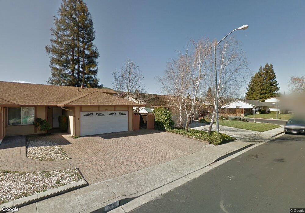
2945 Calais Dr San Ramon, CA 94583
San Ramon Valley NeighborhoodEstimated Value: $1,330,000 - $1,403,818
4
Beds
2
Baths
1,633
Sq Ft
$842/Sq Ft
Est. Value
About This Home
This home is located at 2945 Calais Dr, San Ramon, CA 94583 and is currently estimated at $1,374,455, approximately $841 per square foot. 2945 Calais Dr is a home located in Contra Costa County with nearby schools including Neil A. Armstrong Elementary School, Pine Valley Middle School, and California High School.
Ownership History
Date
Name
Owned For
Owner Type
Purchase Details
Closed on
Oct 4, 2004
Sold by
Tye Michael J and Tye Paula O
Bought by
Tye Michael J and Tye Paula O
Current Estimated Value
Create a Home Valuation Report for This Property
The Home Valuation Report is an in-depth analysis detailing your home's value as well as a comparison with similar homes in the area
Home Values in the Area
Average Home Value in this Area
Purchase History
| Date | Buyer | Sale Price | Title Company |
|---|---|---|---|
| Tye Michael J | -- | -- | |
| Tye Michael J | -- | -- |
Source: Public Records
Tax History Compared to Growth
Tax History
| Year | Tax Paid | Tax Assessment Tax Assessment Total Assessment is a certain percentage of the fair market value that is determined by local assessors to be the total taxable value of land and additions on the property. | Land | Improvement |
|---|---|---|---|---|
| 2025 | $5,578 | $454,327 | $202,348 | $251,979 |
| 2024 | $5,481 | $445,420 | $198,381 | $247,039 |
| 2023 | $5,481 | $436,688 | $194,492 | $242,196 |
| 2022 | $5,441 | $428,127 | $190,679 | $237,448 |
| 2021 | $5,336 | $419,734 | $186,941 | $232,793 |
| 2019 | $5,216 | $407,287 | $181,398 | $225,889 |
| 2018 | $5,023 | $399,302 | $177,842 | $221,460 |
| 2017 | $4,840 | $391,473 | $174,355 | $217,118 |
| 2016 | $4,772 | $383,798 | $170,937 | $212,861 |
| 2015 | $4,727 | $378,034 | $168,370 | $209,664 |
| 2014 | $4,670 | $370,629 | $165,072 | $205,557 |
Source: Public Records
Map
Nearby Homes
- 25 Marilyn Place
- 3217 Ensenada Dr
- 3240 De Anza Place
- 14 Poppy Hills Ln
- 10 Almond Orchard Ln
- 3163 Christopher Way
- 260 Mara Place
- 820 Pinehurst Place
- 740 Sutter Creek Ln Unit 740
- 74 Hazelnut Ct
- 10013 Foxboro Cir
- 4 Henry Ranch Dr
- 54 Madrid Place
- 10034 Foxboro Cir
- 341 Santa Cruz Place
- 6 San Pedro Place
- 434 Devon Ct
- 7472 Blue Fox Way
- 754 Winterside Cir
- 2740 Mohawk Cir
- 2941 Calais Dr
- 61 Shaw Place
- 65 Shaw Place
- 2936 Biddleford Dr
- 2937 Calais Dr
- 2946 Calais Dr
- 12 Belfast Place
- 2942 Calais Dr
- 69 Shaw Place
- 2937 Biddleford Dr
- 2932 Biddleford Dr
- 2933 Calais Dr
- 2938 Calais Dr
- 73 Shaw Place
- 60 Shaw Place
- 9835 Broadmoor Dr
- 64 Shaw Place
- 2933 Biddleford Dr
- 9831 Broadmoor Dr
- 2899 Westchester Dr