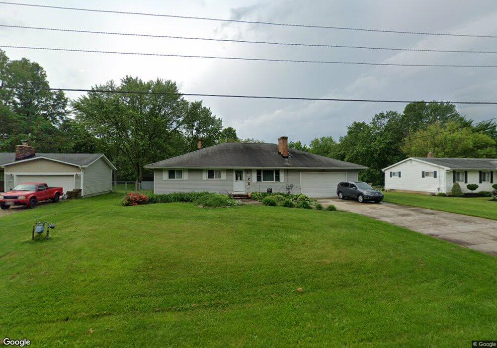
2950 Sunside Dr Copley, OH 44321
Estimated Value: $266,311 - $300,000
2
Beds
2
Baths
2,144
Sq Ft
$134/Sq Ft
Est. Value
About This Home
This home is located at 2950 Sunside Dr, Copley, OH 44321 and is currently estimated at $286,828, approximately $133 per square foot. 2950 Sunside Dr is a home located in Summit County with nearby schools including Copley-Fairlawn Middle School, Copley High School, and Spring Garden Waldorf School.
Ownership History
Date
Name
Owned For
Owner Type
Purchase Details
Closed on
Oct 18, 2013
Sold by
Naswadi George F
Bought by
Naswadi George E and The George F Naswadi Trust
Current Estimated Value
Purchase Details
Closed on
Sep 25, 1996
Sold by
Swaino Richard G
Bought by
Naswadi George F and Naswadi Jean C
Home Financials for this Owner
Home Financials are based on the most recent Mortgage that was taken out on this home.
Original Mortgage
$59,500
Interest Rate
7.97%
Mortgage Type
New Conventional
Create a Home Valuation Report for This Property
The Home Valuation Report is an in-depth analysis detailing your home's value as well as a comparison with similar homes in the area
Home Values in the Area
Average Home Value in this Area
Purchase History
| Date | Buyer | Sale Price | Title Company |
|---|---|---|---|
| Naswadi George E | -- | None Available | |
| Naswadi George F | $85,000 | -- |
Source: Public Records
Mortgage History
| Date | Status | Borrower | Loan Amount |
|---|---|---|---|
| Previous Owner | Naswadi George F | $59,500 |
Source: Public Records
Tax History
| Year | Tax Paid | Tax Assessment Tax Assessment Total Assessment is a certain percentage of the fair market value that is determined by local assessors to be the total taxable value of land and additions on the property. | Land | Improvement |
|---|---|---|---|---|
| 2024 | $4,285 | $90,168 | $14,158 | $76,010 |
| 2023 | $4,285 | $90,168 | $14,158 | $76,010 |
| 2022 | $3,978 | $70,340 | $10,976 | $59,364 |
| 2021 | $3,670 | $70,340 | $10,976 | $59,364 |
| 2020 | $3,582 | $70,340 | $10,980 | $59,360 |
| 2019 | $2,618 | $49,320 | $10,430 | $38,890 |
| 2018 | $2,489 | $49,320 | $10,430 | $38,890 |
| 2017 | $2,592 | $49,320 | $10,430 | $38,890 |
| 2016 | $2,588 | $49,320 | $10,430 | $38,890 |
| 2015 | $2,592 | $49,320 | $10,430 | $38,890 |
| 2014 | $2,574 | $49,320 | $10,430 | $38,890 |
| 2013 | $2,816 | $53,780 | $10,430 | $43,350 |
Source: Public Records
Map
Nearby Homes
- 2941 Copley Rd
- 1569 Denise Dr
- 1548 Sunside Dr
- 2752 Copley Rd
- 1101 Meadow Run
- 1273 Meadow Run
- 1121 Meadow Run
- 1329 Meadow Run
- 2973 Colon Dr
- 1306 N Plainview Dr
- 2950 Colon Dr
- 2773 Mull Ave
- 2799 Mull Ave Unit 10B
- 951 Kirkwall Dr
- 981 Kirkwall Dr Unit 27C
- 0 Aberth Dr
- 864 Kirkwall Dr Unit 47E
- 1061 Jonathan Ave
- 804 Stone Circle Dr
- 1423 Copley Meadows Dr
- 2960 Sunside Dr
- 2940 Sunside Dr
- 2930 Sunside Dr
- 1485 Crusade Dr
- 2945 Sunside Dr
- 2955 Sunside Dr
- 1505 Crusade Dr
- 2920 Sunside Dr
- 2959 Saint Clair Dr
- 2949 Saint Clair Dr
- 1484 Crusade Dr
- 1523 Crusade Dr
- 2910 Sunside Dr
- 2932 Copley Rd
- 2920 Copley Rd
- 2939 Saint Clair Dr
- 1502 Crusade Dr
- 2911 Sunside Dr
- VL Copley Rd
- 2900 Sunside Dr
Your Personal Tour Guide
Ask me questions while you tour the home.