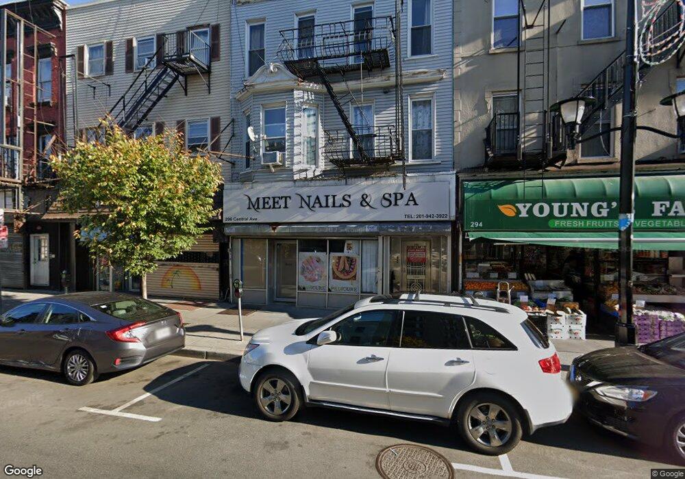
296 Central Ave Jersey City, NJ 07307
The Heights NeighborhoodEstimated Value: $1,645,388
--
Bed
1
Bath
--
Sq Ft
3,790
Sq Ft Lot
About This Home
This home is located at 296 Central Ave, Jersey City, NJ 07307 and is currently estimated at $1,645,388. 296 Central Ave is a home located in Hudson County with nearby schools including Charles E. Trefurt School, William L. Dickinson High School, and Dr Ronald McNair High School.
Ownership History
Date
Name
Owned For
Owner Type
Purchase Details
Closed on
Sep 30, 2014
Sold by
Yeung Fei and Yeung Oi Ying
Bought by
Tgh 296 Llc
Current Estimated Value
Home Financials for this Owner
Home Financials are based on the most recent Mortgage that was taken out on this home.
Original Mortgage
$500,000
Outstanding Balance
$383,181
Interest Rate
4.09%
Mortgage Type
Commercial
Estimated Equity
$1,262,207
Purchase Details
Closed on
Oct 13, 2005
Sold by
Degennaro Nicola and Degennaro Vincenza
Bought by
Yeung Fei and Tung Oi Ying
Home Financials for this Owner
Home Financials are based on the most recent Mortgage that was taken out on this home.
Original Mortgage
$440,000
Interest Rate
6.14%
Mortgage Type
Commercial
Purchase Details
Closed on
Jun 17, 2003
Sold by
Sermier George E and Beidini Bianca A
Bought by
Eng Michael
Create a Home Valuation Report for This Property
The Home Valuation Report is an in-depth analysis detailing your home's value as well as a comparison with similar homes in the area
Home Values in the Area
Average Home Value in this Area
Purchase History
| Date | Buyer | Sale Price | Title Company |
|---|---|---|---|
| Tgh 296 Llc | $720,000 | None Available | |
| Yeung Fei | $720,000 | Commonwealth Land Title Insu | |
| Eng Michael | $210,000 | First American Title Ins Co |
Source: Public Records
Mortgage History
| Date | Status | Borrower | Loan Amount |
|---|---|---|---|
| Open | Tgh 296 Llc | $500,000 | |
| Previous Owner | Yeung Fei | $440,000 |
Source: Public Records
Tax History Compared to Growth
Tax History
| Year | Tax Paid | Tax Assessment Tax Assessment Total Assessment is a certain percentage of the fair market value that is determined by local assessors to be the total taxable value of land and additions on the property. | Land | Improvement |
|---|---|---|---|---|
| 2025 | $19,595 | $877,500 | $285,300 | $592,200 |
| 2024 | $19,717 | $877,500 | $285,300 | $592,200 |
| 2023 | $19,717 | $877,500 | $285,300 | $592,200 |
| 2022 | $18,585 | $877,500 | $285,300 | $592,200 |
| 2021 | $14,075 | $877,500 | $285,300 | $592,200 |
| 2020 | $14,128 | $877,500 | $285,300 | $592,200 |
| 2019 | $13,514 | $877,500 | $285,300 | $592,200 |
| 2018 | $3,274 | $877,500 | $285,300 | $592,200 |
| 2017 | $17,160 | $220,000 | $75,100 | $144,900 |
| 2016 | $16,942 | $220,000 | $75,100 | $144,900 |
| 2015 | $16,460 | $220,000 | $75,100 | $144,900 |
| 2014 | $16,355 | $220,000 | $75,100 | $144,900 |
Source: Public Records
Map
Nearby Homes
- 281 Central Ave Unit 4A
- 92 Hutton St
- 38 Zabriskie St Unit 3R
- 38 Zabriskie St Unit 2R
- 38 Zabriskie St Unit 1R
- 38 Zabriskie St Unit 2L
- 130 Griffith St
- 28 Cambridge Ave Unit 2
- 11 Cambridge Ave Unit 2
- 21 Hancock Ave Unit 3
- 62 Hancock Ave
- 84 Manhattan Ave Unit 2
- 32 Hancock Ave Unit 3
- 32 Hancock Ave Unit 2
- 91 Hancock Ave Unit 2
- 91 Hancock Ave Unit 3
- 91 Hancock Ave Unit 1
- 91 Hancock Ave
- 129 Franklin St Unit A1
- 106 Griffith St
- 296 Central Ave Unit ground floor (store)
- 296 Central Ave Unit 3 A front
- 296 Central Ave Unit 3 rear
- 296 Central Ave Unit 2F
- 296 Central Ave Unit 2 R
- 296 Central Ave Unit 3 A
- 298 Central Ave
- 300 Central Ave
- 290 Central Ave
- 288 Central Ave
- 304 Central Ave
- 90 Hutton St
- 90 Hutton St Unit 1
- 306 Central Ave
- 88 Hutton St
- 51 Cambridge Ave
- 308 Central Ave
- 297 Central Ave Unit 2
- 86 Hutton St
- 295 Central Ave Unit 2