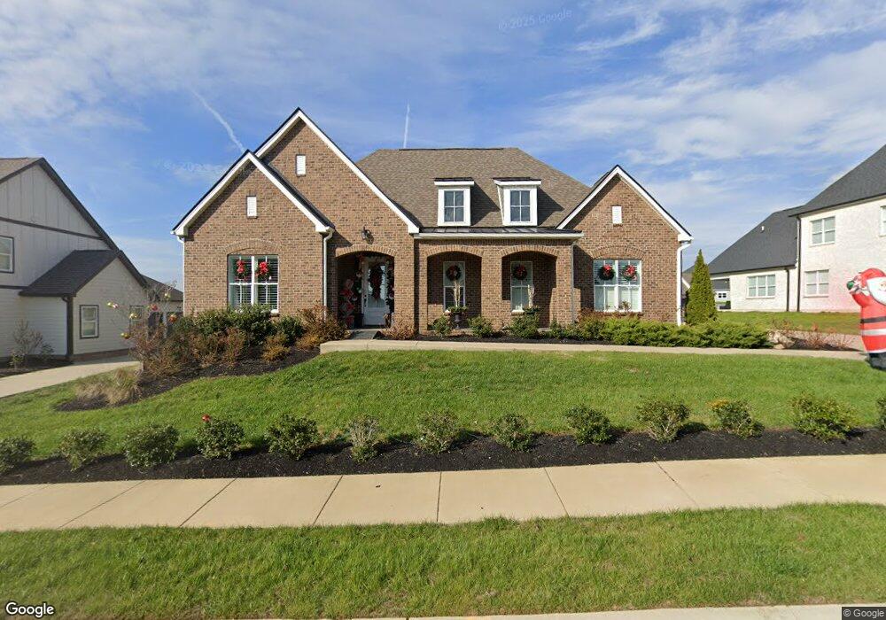
296 Croft Way Unit 667 Mt. Juliet, TN 37122
Estimated Value: $717,919 - $774,000
--
Bed
2
Baths
2,498
Sq Ft
$296/Sq Ft
Est. Value
About This Home
This home is located at 296 Croft Way Unit 667, Mt. Juliet, TN 37122 and is currently estimated at $738,980, approximately $295 per square foot. 296 Croft Way Unit 667 is a home located in Wilson County with nearby schools including Stoner Creek Elementary School, West Wilson Middle School, and Mt. Juliet High School.
Ownership History
Date
Name
Owned For
Owner Type
Purchase Details
Closed on
Apr 6, 2023
Sold by
Sanford Douglas John and Sanford Denise Ann
Bought by
Johnson William L and Johnson Jennifer L
Current Estimated Value
Purchase Details
Closed on
Jun 1, 2021
Sold by
Cox Melissa
Bought by
Sanford Douglas John and Sanford Denise Ann
Home Financials for this Owner
Home Financials are based on the most recent Mortgage that was taken out on this home.
Original Mortgage
$455,600
Interest Rate
2.9%
Mortgage Type
New Conventional
Purchase Details
Closed on
Feb 24, 2020
Sold by
Jackson Hills Partners Llc
Bought by
Cox Sandra
Home Financials for this Owner
Home Financials are based on the most recent Mortgage that was taken out on this home.
Original Mortgage
$394,000
Interest Rate
3.6%
Mortgage Type
Credit Line Revolving
Create a Home Valuation Report for This Property
The Home Valuation Report is an in-depth analysis detailing your home's value as well as a comparison with similar homes in the area
Home Values in the Area
Average Home Value in this Area
Purchase History
| Date | Buyer | Sale Price | Title Company |
|---|---|---|---|
| Johnson William L | $720,000 | -- | |
| Sanford Douglas John | $538,000 | None Available | |
| Cox Sandra | $491,986 | Winmill Title Llc |
Source: Public Records
Mortgage History
| Date | Status | Borrower | Loan Amount |
|---|---|---|---|
| Previous Owner | Sanford Douglas John | $455,600 | |
| Previous Owner | Cox Sandra | $394,000 |
Source: Public Records
Tax History Compared to Growth
Tax History
| Year | Tax Paid | Tax Assessment Tax Assessment Total Assessment is a certain percentage of the fair market value that is determined by local assessors to be the total taxable value of land and additions on the property. | Land | Improvement |
|---|---|---|---|---|
| 2024 | $2,385 | $124,925 | $20,000 | $104,925 |
| 2022 | $2,209 | $115,700 | $20,000 | $95,700 |
| 2021 | $2,336 | $115,700 | $20,000 | $95,700 |
| 2020 | $2,238 | $115,700 | $20,000 | $95,700 |
| 2019 | $0 | $16,725 | $16,250 | $475 |
Source: Public Records
Map
Nearby Homes
- 309 Croft Way
- 863 Plowson Rd
- 270 Croft Way
- Weston Plan at Bradshaw Farms - Estates
- Ansley Plan at Bradshaw Farms - Estates
- Buchanan Plan at Bradshaw Farms - Estates
- Kingston Plan at Bradshaw Farms - Estates
- Ashford Plan at Bradshaw Farms - Estates
- 1012 Zane Dr
- 1010 Zane Dr
- 1019 Zane Dr
- 1014 Zane Dr
- 1015 Zane Dr
- 1018 Zane Dr
- 1022 Zane Dr
- 247 Croft Way
- 894 Plowson Rd
- 243 Croft Way
- 1100 Codah Dr
- 1101 Codah Dr
- 296 Croft Way
- 296 Croft Way
- 298 Croft Way
- 298 Croft Way
- 298 Croft Way Unit 665
- 294 Croft Way
- 297 Croft Way
- 299 Croft Way
- 301 Croft Way
- 292 Croft Way
- 295 Croft Way
- 4039 Planters Trail
- 4039 Planters Trail Unit 675
- 4039 Planters Trail
- 839 Plowson Rd
- 839 Plowson Rd
- 4037 Planters Trail
- 293 Croft Way
- 302 Croft Way
- 837 Plowson Rd