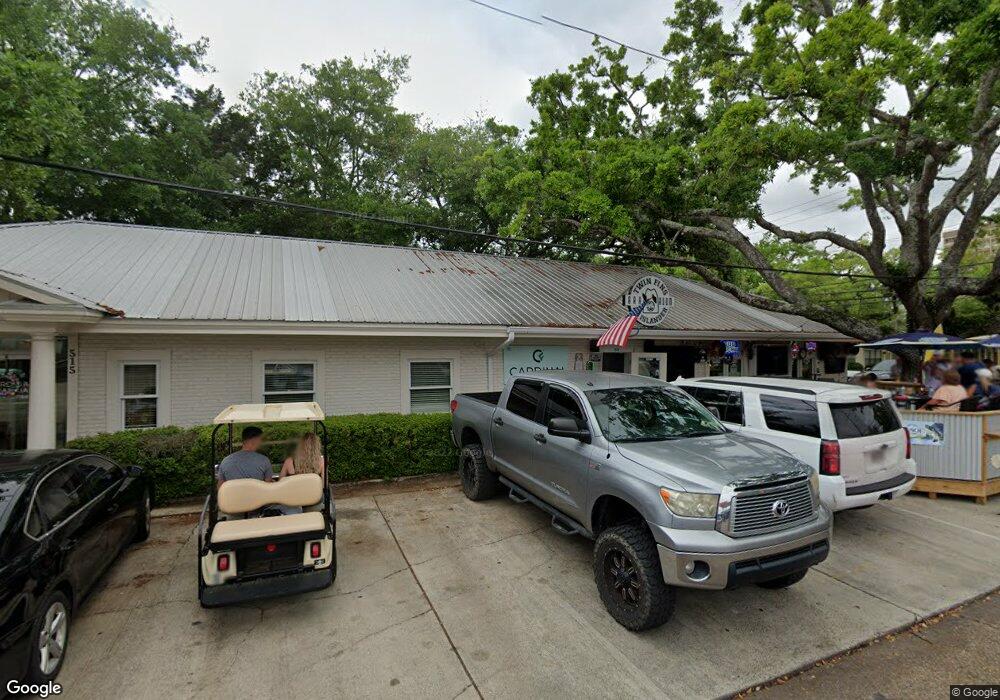
296 Mccool St Ocean Springs, MS 39564
Estimated Value: $265,000 - $299,000
3
Beds
3
Baths
1,425
Sq Ft
$197/Sq Ft
Est. Value
About This Home
This home is located at 296 Mccool St, Ocean Springs, MS 39564 and is currently estimated at $280,948, approximately $197 per square foot. 296 Mccool St is a home located in Jackson County with nearby schools including Oak Park Elementary School, Ocean Springs Middle School, and Ocean Springs High School.
Ownership History
Date
Name
Owned For
Owner Type
Purchase Details
Closed on
Apr 30, 2014
Bought by
Richmond Rhonda Iris
Current Estimated Value
Purchase Details
Closed on
Aug 11, 2011
Bought by
Caesar Llc
Purchase Details
Closed on
Dec 13, 2005
Sold by
West Tracy L
Bought by
Greger Mark and Greger Kristi L
Home Financials for this Owner
Home Financials are based on the most recent Mortgage that was taken out on this home.
Original Mortgage
$111,254
Interest Rate
6.28%
Create a Home Valuation Report for This Property
The Home Valuation Report is an in-depth analysis detailing your home's value as well as a comparison with similar homes in the area
Home Values in the Area
Average Home Value in this Area
Purchase History
| Date | Buyer | Sale Price | Title Company |
|---|---|---|---|
| Richmond Rhonda Iris | -- | -- | |
| Caesar Llc | -- | Landcastle Title Llc | |
| Greger Mark | -- | -- |
Source: Public Records
Mortgage History
| Date | Status | Borrower | Loan Amount |
|---|---|---|---|
| Previous Owner | Greger Mark | $111,254 |
Source: Public Records
Tax History Compared to Growth
Tax History
| Year | Tax Paid | Tax Assessment Tax Assessment Total Assessment is a certain percentage of the fair market value that is determined by local assessors to be the total taxable value of land and additions on the property. | Land | Improvement |
|---|---|---|---|---|
| 2024 | $410 | $11,986 | $1,872 | $10,114 |
| 2023 | $407 | $11,986 | $1,872 | $10,114 |
| 2022 | $413 | $10,327 | $0 | $0 |
| 2021 | $407 | $10,327 | $10,327 | $0 |
| 2020 | $411 | $10,327 | $1,628 | $8,699 |
| 2019 | $410 | $10,327 | $1,628 | $8,699 |
| 2018 | $408 | $10,327 | $1,628 | $8,699 |
| 2017 | $1,189 | $10,327 | $1,628 | $8,699 |
| 2016 | $1,158 | $10,327 | $1,628 | $8,699 |
| 2015 | $1,074 | $95,530 | $16,280 | $79,250 |
| 2014 | $2,046 | $14,330 | $2,442 | $11,888 |
| 2013 | $2,000 | $14,330 | $2,442 | $11,888 |
Source: Public Records
Map
Nearby Homes
- 288 Mc Cool St
- 310 Holcomb Blvd Unit 323
- 310 Holcomb Blvd Unit 230
- 110 Simon Blvd
- 272 Holcomb Blvd
- 0 Simon Blvd Unit 4063829
- 606 Clark Ave
- 229 Woodland Cir
- 132 Pine Dr
- Lot 21 Hickory Dr
- 11 Fleetwood Place
- 229 Linda Dr
- 443 Bills Ave
- 2215 Government St
- 2207 Government St Unit 13
- 2207 Government St Unit 20
- 2207 Government St Unit 11
- 1802 Stuart Ave
- 205 Walnut Dr
- 2550 Davidson Rd
- 298 Mccool St
- 294 Mccool St
- 296 Holcomb Blvd
- 294 Holcomb Blvd
- 298 Holcomb Blvd
- 292 Mccool St
- 300 Mccool St
- 293 Mccool St
- 295 Mccool St
- 292 Holcomb Blvd
- 300 Holcomb Blvd
- 207 Lamey Ct
- 297 Mccool St
- 290 Mccool St
- 290 Holcomb Blvd
- 209 Lamey Ct
- 210 Lamey Ct
- 297 Holcomb Blvd Unit lot 24
- 297 Holcomb Blvd
- 293 Holcomb Blvd
