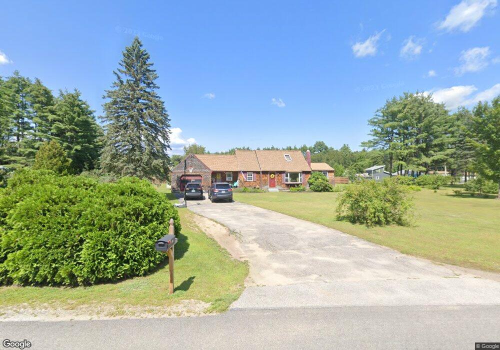
296 Spring St Contoocook, NH 03229
Contoocook NeighborhoodEstimated Value: $432,000 - $465,420
3
Beds
2
Baths
1,864
Sq Ft
$241/Sq Ft
Est. Value
About This Home
This home is located at 296 Spring St, Contoocook, NH 03229 and is currently estimated at $449,355, approximately $241 per square foot. 296 Spring St is a home located in Merrimack County with nearby schools including Harold Martin School, Maple Street Elementary School, and Hopkinton Middle School.
Ownership History
Date
Name
Owned For
Owner Type
Purchase Details
Closed on
Jul 21, 2003
Sold by
Dow Sharon L
Bought by
Wood Jay C and Wood Barbara M
Current Estimated Value
Home Financials for this Owner
Home Financials are based on the most recent Mortgage that was taken out on this home.
Original Mortgage
$216,300
Outstanding Balance
$89,314
Interest Rate
5.34%
Mortgage Type
VA
Estimated Equity
$360,041
Create a Home Valuation Report for This Property
The Home Valuation Report is an in-depth analysis detailing your home's value as well as a comparison with similar homes in the area
Home Values in the Area
Average Home Value in this Area
Purchase History
| Date | Buyer | Sale Price | Title Company |
|---|---|---|---|
| Wood Jay C | $210,000 | -- |
Source: Public Records
Mortgage History
| Date | Status | Borrower | Loan Amount |
|---|---|---|---|
| Open | Wood Jay C | $216,300 |
Source: Public Records
Tax History
| Year | Tax Paid | Tax Assessment Tax Assessment Total Assessment is a certain percentage of the fair market value that is determined by local assessors to be the total taxable value of land and additions on the property. | Land | Improvement |
|---|---|---|---|---|
| 2025 | $9,938 | $402,500 | $141,600 | $260,900 |
| 2024 | $9,310 | $402,500 | $141,600 | $260,900 |
| 2023 | $8,233 | $224,200 | $72,200 | $152,000 |
| 2022 | $7,591 | $224,200 | $72,200 | $152,000 |
| 2020 | $6,929 | $224,400 | $72,200 | $152,200 |
| 2019 | $6,903 | $224,400 | $72,200 | $152,200 |
| 2018 | $6,432 | $174,600 | $47,900 | $126,700 |
| 2017 | $6,357 | $174,600 | $47,900 | $126,700 |
| 2016 | $5,720 | $170,500 | $47,900 | $122,600 |
| 2015 | $5,867 | $174,500 | $47,900 | $126,600 |
| 2014 | $5,682 | $174,500 | $47,900 | $126,600 |
| 2013 | $6,119 | $212,900 | $85,800 | $127,100 |
Source: Public Records
Map
Nearby Homes
- 306 River Grant Dr
- 56 Maple St Unit C
- 25 Sunset Dr
- 30 Evergreen Ln
- 63 Evergreen Ln
- 176 Deer Path
- 403 Maple St
- 22 Indian Ridge Rd
- 455 Maple St
- Map 03 Lot 89 Route 127
- 1136 Penacook Rd
- 322 French Rd
- 106 Peaked Hill Dr
- 298 Battle St
- 36 Old Henniker Rd
- 155 Pamela Dr
- 67 Stacey Dr
- 5 Pamela Dr
- 100 Stacey Dr
- 168 Route 103 E
Your Personal Tour Guide
Ask me questions while you tour the home.