296 Wauquanesit Dr Brewster, MA 02631
Estimated Value: $1,336,000 - $1,507,000
3
Beds
4
Baths
2,049
Sq Ft
$713/Sq Ft
Est. Value
About This Home
This home is located at 296 Wauquanesit Dr, Brewster, MA 02631 and is currently estimated at $1,461,498, approximately $713 per square foot. 296 Wauquanesit Dr is a home located in Barnstable County with nearby schools including Stony Brook Elementary School, Eddy Elementary School, and Nauset Regional Middle School.
Ownership History
Date
Name
Owned For
Owner Type
Purchase Details
Closed on
Sep 3, 2019
Sold by
Rosenberg Judy A
Bought by
Judy Ann Rosenberg Ret
Current Estimated Value
Purchase Details
Closed on
Apr 4, 2007
Sold by
Kariotis Ellen and Kariotis George S
Bought by
Benz Edward G and Myerson Judy Baker
Home Financials for this Owner
Home Financials are based on the most recent Mortgage that was taken out on this home.
Original Mortgage
$550,000
Interest Rate
6.25%
Mortgage Type
Purchase Money Mortgage
Purchase Details
Closed on
Feb 8, 1996
Sold by
Cobbs Pond Dev Corp
Bought by
Kariotis George S and Kariotis Ellen
Home Financials for this Owner
Home Financials are based on the most recent Mortgage that was taken out on this home.
Original Mortgage
$330,000
Interest Rate
7.1%
Mortgage Type
Purchase Money Mortgage
Create a Home Valuation Report for This Property
The Home Valuation Report is an in-depth analysis detailing your home's value as well as a comparison with similar homes in the area
Home Values in the Area
Average Home Value in this Area
Purchase History
| Date | Buyer | Sale Price | Title Company |
|---|---|---|---|
| Judy Ann Rosenberg Ret | -- | -- | |
| Benz Edward G | $825,000 | -- | |
| Kariotis George S | $414,000 | -- |
Source: Public Records
Mortgage History
| Date | Status | Borrower | Loan Amount |
|---|---|---|---|
| Previous Owner | Kariotis George S | $134,250 | |
| Previous Owner | Kariotis George S | $417,000 | |
| Previous Owner | Benz Edward G | $550,000 | |
| Previous Owner | Kariotis George S | $330,000 |
Source: Public Records
Tax History Compared to Growth
Tax History
| Year | Tax Paid | Tax Assessment Tax Assessment Total Assessment is a certain percentage of the fair market value that is determined by local assessors to be the total taxable value of land and additions on the property. | Land | Improvement |
|---|---|---|---|---|
| 2025 | $9,322 | $1,355,000 | $0 | $1,355,000 |
| 2024 | $8,711 | $1,279,200 | $0 | $1,279,200 |
| 2023 | $8,080 | $1,155,900 | $0 | $1,155,900 |
| 2022 | $7,284 | $927,900 | $0 | $927,900 |
| 2021 | $7,248 | $844,800 | $0 | $844,800 |
| 2020 | $7,555 | $876,400 | $0 | $876,400 |
| 2019 | $7,713 | $898,900 | $0 | $898,900 |
| 2018 | $7,076 | $856,700 | $0 | $856,700 |
| 2017 | $6,788 | $809,100 | $0 | $809,100 |
| 2016 | $6,920 | $820,900 | $0 | $820,900 |
| 2015 | $6,616 | $801,000 | $0 | $801,000 |
Source: Public Records
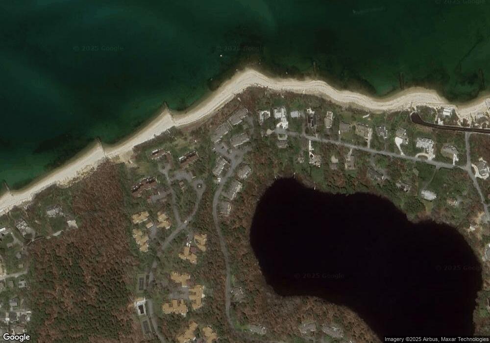
Map
Nearby Homes
- 18 Juniper Cir
- 11 Juniper Cir
- 35 Bradford Rd
- 1861 Main St
- 232 Robbins Hill Rd
- 240 Robbins Hill Rd
- 167 Ambergris Cir
- 1580 Main St
- 20 Skipjack Way
- 1424 Main St
- 20 Spring Ln
- 41 Great Oak Rd
- 53 Brier Ln
- 21 Sea Meadow Ln
- 429 Paines Creek Rd
- 85 Yankee Dr
- 602 Tubman Rd
- 104 Sachemus Trail Unit 104
- 42 Landing Ln Unit 42
- 292 Wauquanesit Dr
- 296 Wauquanesit Dr Unit H-19
- 284 Wauquanesit Dr
- 280 Wauquanesit Dr
- 276 Wauquanesit Dr
- 284 Wauquanesit Dr Unit G-17
- 276 Wauquanesit Dr Unit G-15
- 291 Wauquanesit Dr
- 287 Wauquanesit Dr
- 283 Wauquanesit Dr
- 287 Wauquanesit Dr Unit L-31
- 291 Wauquanesit Dr Unit L-32
- 283 Wauquanesit Dr Unit l-30
- 309 Wauquanesit Dr
- 307 Wauquanesit Dr
- 305 Wauquanesit Dr
- 305 Wauquanesit Dr Unit I20
- 307 Wauquanesit Dr Unit I-21
- 264 Wauquanesit Dr
- 258 Wauquanesit Dr