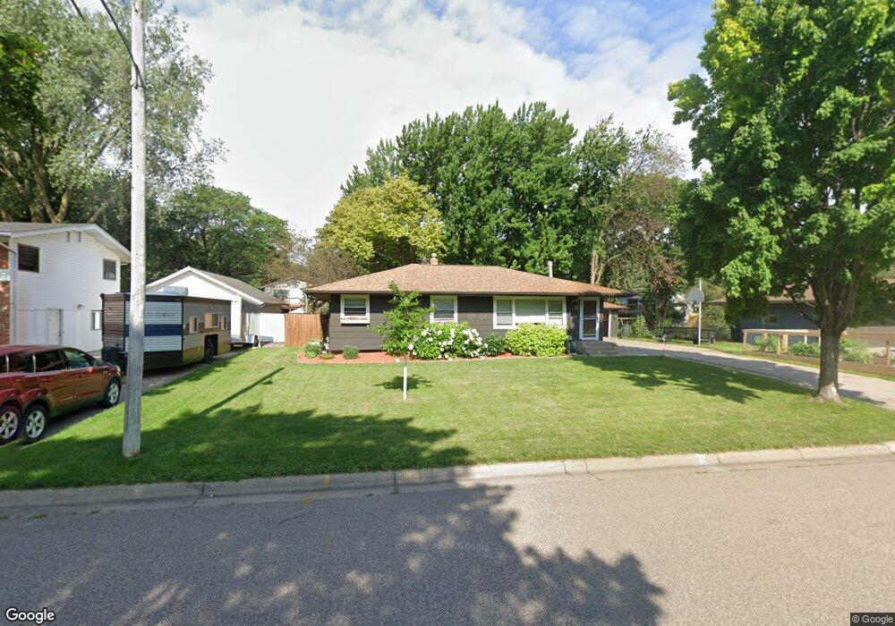
2967 Matilda St Saint Paul, MN 55113
South Owasso NeighborhoodEstimated Value: $427,000 - $449,000
4
Beds
2
Baths
508
Sq Ft
$857/Sq Ft
Est. Value
About This Home
This home is located at 2967 Matilda St, Saint Paul, MN 55113 and is currently estimated at $435,394, approximately $857 per square foot. 2967 Matilda St is a home located in Ramsey County with nearby schools including Emmet D. Williams Elementary School, Roseville Area Middle School, and Roseville Area Senior High School.
Ownership History
Date
Name
Owned For
Owner Type
Purchase Details
Closed on
Oct 19, 2018
Sold by
Norton Kristy P and Norton Jeffrey R
Bought by
Feneis Kelly and Feneis Jacob
Current Estimated Value
Home Financials for this Owner
Home Financials are based on the most recent Mortgage that was taken out on this home.
Original Mortgage
$296,910
Outstanding Balance
$259,474
Interest Rate
4.6%
Mortgage Type
New Conventional
Estimated Equity
$175,920
Purchase Details
Closed on
Aug 12, 2003
Sold by
Peterson Hans J B and Peterson Lana Jean
Bought by
Norton Jeffrey K and Norton Wayne D
Create a Home Valuation Report for This Property
The Home Valuation Report is an in-depth analysis detailing your home's value as well as a comparison with similar homes in the area
Home Values in the Area
Average Home Value in this Area
Purchase History
| Date | Buyer | Sale Price | Title Company |
|---|---|---|---|
| Feneis Kelly | $329,900 | Executive Title | |
| Norton Jeffrey K | $233,000 | -- |
Source: Public Records
Mortgage History
| Date | Status | Borrower | Loan Amount |
|---|---|---|---|
| Open | Feneis Kelly | $296,910 |
Source: Public Records
Tax History Compared to Growth
Tax History
| Year | Tax Paid | Tax Assessment Tax Assessment Total Assessment is a certain percentage of the fair market value that is determined by local assessors to be the total taxable value of land and additions on the property. | Land | Improvement |
|---|---|---|---|---|
| 2025 | $5,686 | $428,200 | $100,000 | $328,200 |
| 2023 | $5,686 | $402,800 | $90,000 | $312,800 |
| 2022 | $5,066 | $392,800 | $90,000 | $302,800 |
| 2021 | $4,616 | $340,000 | $90,000 | $250,000 |
| 2020 | $4,538 | $331,900 | $80,000 | $251,900 |
| 2019 | $3,792 | $307,700 | $80,000 | $227,700 |
| 2018 | $3,580 | $255,300 | $79,400 | $175,900 |
| 2017 | $2,896 | $236,800 | $79,400 | $157,400 |
| 2016 | $2,834 | $0 | $0 | $0 |
| 2015 | $3,100 | $201,200 | $79,600 | $121,600 |
| 2014 | $3,238 | $0 | $0 | $0 |
Source: Public Records
Map
Nearby Homes
- 2970 Western Ave N
- 2841 Galtier St
- 2821 Galtier St
- 2814 Matilda St
- 2802 Marion St
- 405 Judith Ave
- 387 Iona Ln
- 2687 Galtier St
- 2720 MacKubin St
- 540 Woodhill Dr Unit 71
- 417 W Horseshoe Dr
- 2730 Dale St N Unit D101
- 111 Yorkton Ridge
- 2720 Dale St N Unit C208
- 2710 Dale St N Unit B212
- 556 County Road C W
- 2750 Park View Ct
- 405 Brooks Ave W
- 2507 Woodbridge St
- 74 Big Circle Dr
- 2977 Matilda St
- 2959 Matilda St
- 2966 Farrington St
- 2958 Farrington St
- 2974 Farrington St
- 2951 Matilda St
- 2968 Matilda St
- 2950 Farrington St
- 2976 Matilda St
- 2960 Matilda St
- 2982 Farrington St
- 2952 Matilda St
- 2942 Farrington St
- 2943 Matilda St
- 2967 Galtier St
- 2990 Farrington St
- 2977 Galtier St
- 2959 Galtier St
- 2955 Farrington St
- 2973 Farrington St