297 N River Rd Lee, NH 03861
Estimated Value: $923,000 - $1,458,167
4
Beds
3
Baths
3,745
Sq Ft
$286/Sq Ft
Est. Value
About This Home
This home is located at 297 N River Rd, Lee, NH 03861 and is currently estimated at $1,070,292, approximately $285 per square foot. 297 N River Rd is a home located in Strafford County with nearby schools including Mast Way School, Oyster River Middle School, and Oyster River High School.
Ownership History
Date
Name
Owned For
Owner Type
Purchase Details
Closed on
Nov 29, 2017
Sold by
Reinhold Frank W and Reinhold Linda R
Bought by
Yennaco Jay
Current Estimated Value
Home Financials for this Owner
Home Financials are based on the most recent Mortgage that was taken out on this home.
Original Mortgage
$775,000
Outstanding Balance
$648,382
Interest Rate
3.88%
Mortgage Type
Commercial
Estimated Equity
$421,910
Create a Home Valuation Report for This Property
The Home Valuation Report is an in-depth analysis detailing your home's value as well as a comparison with similar homes in the area
Home Values in the Area
Average Home Value in this Area
Purchase History
| Date | Buyer | Sale Price | Title Company |
|---|---|---|---|
| Yennaco Jay | $85,000 | -- |
Source: Public Records
Mortgage History
| Date | Status | Borrower | Loan Amount |
|---|---|---|---|
| Open | Yennaco Jay | $775,000 |
Source: Public Records
Tax History Compared to Growth
Tax History
| Year | Tax Paid | Tax Assessment Tax Assessment Total Assessment is a certain percentage of the fair market value that is determined by local assessors to be the total taxable value of land and additions on the property. | Land | Improvement |
|---|---|---|---|---|
| 2024 | $22,293 | $865,085 | $360,885 | $504,200 |
| 2023 | $20,370 | $862,047 | $361,647 | $500,400 |
| 2022 | $18,746 | $863,055 | $362,655 | $500,400 |
| 2021 | $18,789 | $863,055 | $362,655 | $500,400 |
| 2020 | $21,021 | $659,786 | $91,386 | $568,400 |
| 2019 | $20,777 | $659,786 | $91,386 | $568,400 |
| 2018 | $19,045 | $622,986 | $91,386 | $531,600 |
| 2017 | $18,658 | $623,166 | $91,566 | $531,600 |
| 2016 | $18,227 | $623,147 | $91,547 | $531,600 |
| 2015 | $18,445 | $630,603 | $86,603 | $544,000 |
| 2014 | $18,743 | $631,090 | $120,890 | $510,200 |
| 2012 | $18,424 | $615,353 | $105,153 | $510,200 |
Source: Public Records
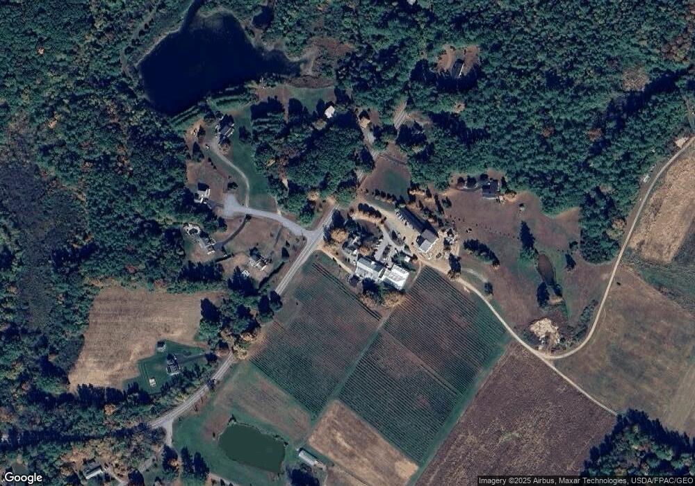
Map
Nearby Homes
- 384 N River Rd
- 288 N River Rd
- 464 Wadleigh Falls Rd
- 20 Towle Rd
- 0 Rear Wadleigh Falls Rd Unit 9
- 5 Hedding Rd
- 156 Hedding Rd
- 113 N River Rd Unit Lot 2
- 23 Old Stagecoach Rd Unit 15
- 153 Coffin Rd Unit 32
- 373 Calef Hwy
- 35 Fieldstone Estates
- 1 Lee Hook Rd
- 22 Dorothy Dr
- 5 Langs Ln
- 4 Kelsey Dr
- 1 Mast Rd
- 254 Ash Swamp Rd
- 15 Allens Ave
- 10 Merrill Ln