Estimated Value: $247,000 - $497,000
Studio
3
Baths
3,756
Sq Ft
$95/Sq Ft
Est. Value
About This Home
This home is located at 297 New Bridge Rd, Aiken, SC 29801 and is currently estimated at $356,924, approximately $95 per square foot. 297 New Bridge Rd is a home located in Aiken County with nearby schools including North Aiken Elementary School, Schofield Middle School, and Aiken High School.
Ownership History
Date
Name
Owned For
Owner Type
Purchase Details
Closed on
Sep 25, 2015
Sold by
Boatwright Bruce W and Boatwright Kathy Goldman
Bought by
Boatwright Kathy G
Current Estimated Value
Purchase Details
Closed on
Jul 22, 2010
Sold by
Boatwright Bruce W and Boatwright Kathy Goldman
Bought by
Boatwright Bruce W and Boatwright Kathy G
Create a Home Valuation Report for This Property
The Home Valuation Report is an in-depth analysis detailing your home's value as well as a comparison with similar homes in the area
Purchase History
| Date | Buyer | Sale Price | Title Company |
|---|---|---|---|
| Boatwright Kathy G | -- | -- | |
| Boatwright Bruce W | -- | -- |
Source: Public Records
Tax History
| Year | Tax Paid | Tax Assessment Tax Assessment Total Assessment is a certain percentage of the fair market value that is determined by local assessors to be the total taxable value of land and additions on the property. | Land | Improvement |
|---|---|---|---|---|
| 2025 | $348 | $5,220 | -- | -- |
| 2023 | $347 | $5,220 | $168 | $180,740 |
| 2022 | $343 | $5,080 | $0 | $0 |
| 2021 | $344 | $5,080 | $0 | $0 |
| 2020 | $281 | $4,550 | $0 | $0 |
| 2019 | $281 | $4,550 | $0 | $0 |
| 2018 | $287 | $4,550 | $220 | $4,330 |
| 2017 | $275 | $0 | $0 | $0 |
| 2016 | $275 | $0 | $0 | $0 |
| 2015 | -- | $0 | $0 | $0 |
| 2014 | -- | $0 | $0 | $0 |
| 2013 | -- | $0 | $0 | $0 |
Source: Public Records
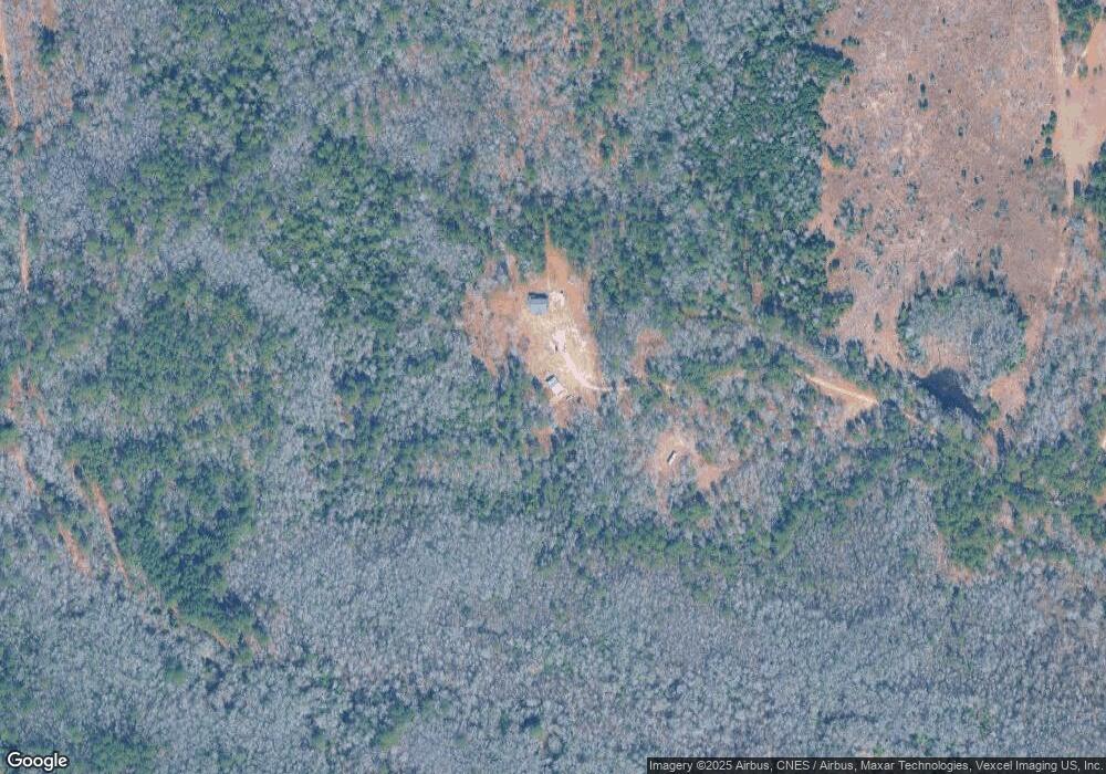
Map
Nearby Homes
- 175 Wheat Rd
- 466 New Bridge Rd
- 364 Wrights Mill Rd
- 5067 Rose Hill
- 496 Wire Rd
- 5038 Rose Hill
- 0000 Wrights Mill Rd Unit Tract D
- 000 Wrights Mill Rd
- 0000 Wrights Mill Rd
- 000 Wrights Mill Rd Unit Tract C
- 504 Redds Branch Rd
- Tbd Wrights Mill Rd
- 0 Wire Rd Unit 213447
- 0 May Royal Dr
- 840 Osbon Dr
- 443 Redds Branch Rd
- 637 Wrights Mill Rd
- 0 NW Morgan St Unit 538002
- Tract 2 Day Rd
- 522 House Finch Hill
- 285 New Bridge Rd
- 308 New Bridge Rd
- 284 New Bridge Rd
- 281 New Bridge Rd
- 582 Rushton Rd
- 328 New Bridge Rd
- 43 Grindiddys Farm Rd
- 572 Rushton Rd
- 579 Rushton Rd
- 187 Wheat Rd
- 512 Golden Ln
- 516 Golden Ln
- 335 New Bridge Rd
- 515 Goldman St
- 255 New Bridge Rd
- 342 New Bridge Rd
- 563 Rushton Rd
- 564 Rushton Rd
- 169 Wheat Rd
- 65 Grindiddys Farm Rd
Your Personal Tour Guide
Ask me questions while you tour the home.