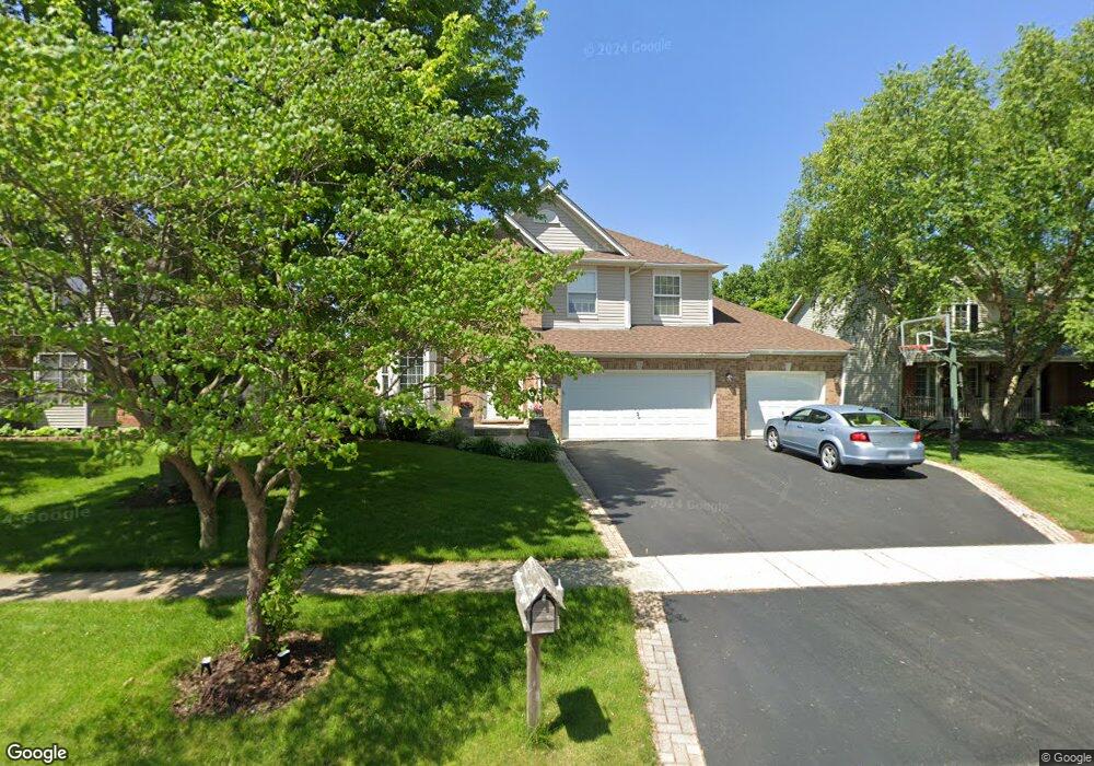
297 Prairieview Dr Unit 6 Oswego, IL 60543
South Oswego NeighborhoodEstimated Value: $504,021 - $521,000
4
Beds
3
Baths
2,780
Sq Ft
$185/Sq Ft
Est. Value
About This Home
This home is located at 297 Prairieview Dr Unit 6, Oswego, IL 60543 and is currently estimated at $514,005, approximately $184 per square foot. 297 Prairieview Dr Unit 6 is a home located in Kendall County with nearby schools including Prairie Point Elementary School, Traughber Junior High School, and Oswego High School.
Ownership History
Date
Name
Owned For
Owner Type
Purchase Details
Closed on
Jul 27, 2001
Sold by
Pacific Homes Inc
Bought by
Hamrick James P and Hamrick Anne L
Current Estimated Value
Home Financials for this Owner
Home Financials are based on the most recent Mortgage that was taken out on this home.
Original Mortgage
$214,400
Outstanding Balance
$83,634
Interest Rate
7.15%
Estimated Equity
$430,371
Purchase Details
Closed on
Dec 20, 2000
Sold by
Deerpath Development Corp
Bought by
Pacific Homes Inc
Home Financials for this Owner
Home Financials are based on the most recent Mortgage that was taken out on this home.
Original Mortgage
$37,500
Interest Rate
10.5%
Create a Home Valuation Report for This Property
The Home Valuation Report is an in-depth analysis detailing your home's value as well as a comparison with similar homes in the area
Home Values in the Area
Average Home Value in this Area
Purchase History
| Date | Buyer | Sale Price | Title Company |
|---|---|---|---|
| Hamrick James P | $268,000 | -- | |
| Pacific Homes Inc | $50,000 | -- |
Source: Public Records
Mortgage History
| Date | Status | Borrower | Loan Amount |
|---|---|---|---|
| Open | Hamrick James P | $214,400 | |
| Previous Owner | Pacific Homes Inc | $37,500 |
Source: Public Records
Tax History Compared to Growth
Tax History
| Year | Tax Paid | Tax Assessment Tax Assessment Total Assessment is a certain percentage of the fair market value that is determined by local assessors to be the total taxable value of land and additions on the property. | Land | Improvement |
|---|---|---|---|---|
| 2024 | $10,933 | $141,859 | $28,486 | $113,373 |
| 2023 | $9,765 | $125,539 | $25,209 | $100,330 |
| 2022 | $9,765 | $114,126 | $22,917 | $91,209 |
| 2021 | $9,420 | $106,660 | $21,418 | $85,242 |
| 2020 | $9,315 | $104,569 | $20,998 | $83,571 |
| 2019 | $9,229 | $102,135 | $20,998 | $81,137 |
| 2018 | $8,876 | $96,875 | $18,948 | $77,927 |
| 2017 | $8,668 | $90,537 | $17,708 | $72,829 |
| 2016 | $8,518 | $87,900 | $17,192 | $70,708 |
| 2015 | $8,746 | $86,177 | $16,855 | $69,322 |
| 2014 | -- | $83,667 | $16,364 | $67,303 |
| 2013 | -- | $83,667 | $16,364 | $67,303 |
Source: Public Records
Map
Nearby Homes
- 538 Sudbury Cir
- 406 Windsor Dr
- 315 White Pines Ln
- 483 Deerfield Dr
- 482 Deerfield Dr
- 609 Chestnut Dr
- 676 Cumberland Ln
- 668 Cumberland Ln
- 716 Pinehurst Ln
- 714 Pinehurst Ln
- 673 Cumberland Ln
- 851 Claridge Dr
- 770 Dartmouth Ln
- 777 Dartmouth Ln
- 639 Vista Dr
- 395 Danforth Dr
- 616 Briarwood Ln
- 210 Dorset Ave
- 4700 Laughton Ave
- 318 Monica Ln
- 295 Prairieview Dr
- 299 Prairieview Dr
- 301 Prairieview Dr
- 100 Croydon Ct Unit 6
- 359 Morgan Valley Dr Unit 6
- 303 Prairieview Dr
- 102 Croydon Ct
- 101 Croydon Ct Unit 6
- 357 Morgan Valley Dr
- 305 Prairieview Dr Unit 6
- 104 Croydon Ct
- 103 Croydon Ct
- 355 Morgan Valley Dr
- 307 Prairieview Dr Unit 6
- 105 Croydon Ct Unit 6
- 200 Carlisle Ct
- 106 Croydon Ct
- 353 Morgan Valley Dr Unit 6
- 202 Carlisle Ct Unit 6
- 309 Prairieview Dr