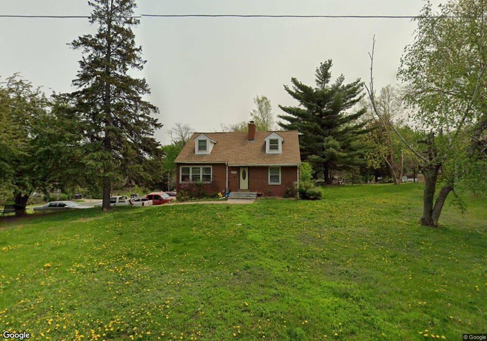
2970 Burnside Ave Saint Paul, MN 55121
Eagan AreaEstimated Value: $445,000 - $494,000
About This Home
This home is located at 2970 Burnside Ave, Saint Paul, MN 55121 and is currently estimated at $460,521, approximately $163 per square foot. 2970 Burnside Ave is a home located in Dakota County with nearby schools including Pilot Knob STEM Magnet School, Friendly Hills Middle School, and Two Rivers High School.
Ownership History
We collect this data history from publicly available records. To have your information removed, we recommend requesting removal directly through your county’s website.
Purchase Details
Home Financials for this Owner
Home Financials are based on the most recent Mortgage that was taken out on this home.Home Values in the Area
Average Home Value in this Area
Purchase History
We collect this data history from publicly available records. To have your information removed, we recommend requesting removal directly through your county’s website.
| Date | Buyer | Sale Price | Title Company |
|---|---|---|---|
| $133,900 | Titlenexus Llc |
Mortgage History
We collect this data history from publicly available records. To have your information removed, we recommend requesting removal directly through your county’s website.
| Date | Status | Borrower | Loan Amount |
|---|---|---|---|
| Open | $200,000 | ||
| Closed | $177,299 | ||
| Closed | $168,000 | ||
| Previous Owner | $141,354 | ||
| Previous Owner | $246,500 | ||
| Previous Owner | $212,000 |
Tax History
We collect this data history from publicly available records. To have your information removed, we recommend requesting removal directly through your county’s website.
| Year | Tax Paid | Tax Assessment Tax Assessment Total Assessment is a certain percentage of the fair market value that is determined by local assessors to be the total taxable value of land and additions on the property. | Land | Improvement |
|---|---|---|---|---|
| 2025 | $4,350 | $448,600 | $103,800 | $344,800 |
| 2024 | $4,384 | $424,300 | $101,000 | $323,300 |
| 2023 | $4,384 | $438,400 | $101,300 | $337,100 |
| 2022 | $3,700 | $425,600 | $101,000 | $324,600 |
| 2021 | $3,416 | $358,400 | $87,800 | $270,600 |
| 2020 | $3,644 | $320,000 | $75,000 | $245,000 |
| 2019 | $3,263 | $328,800 | $71,400 | $257,400 |
| 2018 | $2,861 | $313,100 | $68,000 | $245,100 |
| 2017 | $2,958 | $281,300 | $64,800 | $216,500 |
| 2016 | $2,975 | $267,600 | $61,700 | $205,900 |
| 2015 | $3,089 | $266,600 | $61,700 | $204,900 |
| 2014 | -- | $267,900 | $60,000 | $207,900 |
| 2013 | -- | $257,400 | $54,500 | $202,900 |
Map
- 1390 Rainier Ln
- 2981 Pilot Knob Rd
- 1360 Lone Oak Rd
- 3030 Shields Dr Unit 101
- 3040 Shields Dr Unit 104
- 3140 Quarry Ct
- 3139 Quarry Ct
- 2900 Skyline Dr
- 3165 Doneene Ln
- 2850 Bridgeview Terrace
- 1589 Four Oaks Rd
- 1595 Four Oaks Rd
- 1066 Beatrice St
- 3114 Farnum Dr Unit A
- 1700 Four Oaks Rd Unit 331
- 1700 Four Oaks Rd Unit 219
- 1603 Raindrop Dr
- 3155 Coachman Rd Unit 465
- 3245 Evergreen Dr
- 3214 Valley Ridge Dr
- 2976 Burnside Ave
- 2945 Egan Ave
- 2950 Burnside Ave
- 2969 Burnside Ave
- 2984 Burnside Ave
- 2960 Inland Rd
- 2935 Egan Ave
- 2975 Egan Ave
- 2909 Egan Ave
- 2930 Burnside Ave
- 2950 Egan Ave
- 2940 Inland Rd
- 1383 Rainier Ln
- 2970 Egan Ave
- 2960 Egan Ave
- 2990 Burnside Ave
- 2899 Fairlawn Place
- 2969 Inland Rd
- 2985 Egan Ave
- 2905 Egan Ave
Ask me questions while you tour the home.