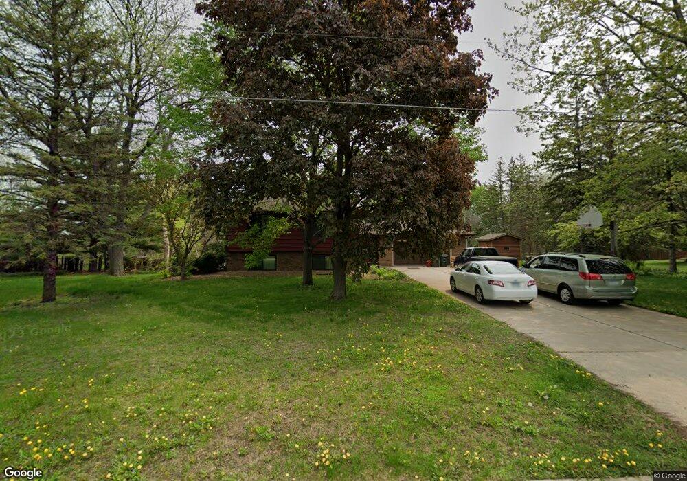
2976 Burnside Ave Saint Paul, MN 55121
Estimated Value: $427,000 - $487,000
5
Beds
3
Baths
1,400
Sq Ft
$323/Sq Ft
Est. Value
About This Home
This home is located at 2976 Burnside Ave, Saint Paul, MN 55121 and is currently estimated at $452,526, approximately $323 per square foot. 2976 Burnside Ave is a home located in Dakota County with nearby schools including Pilot Knob STEM Magnet School, Friendly Hills Middle School, and Two Rivers High School.
Ownership History
Date
Name
Owned For
Owner Type
Purchase Details
Closed on
Feb 20, 1997
Sold by
Starkman Gary M and Starkman Theresa M
Bought by
Murphy Lawrence E and Marquette Christine M
Current Estimated Value
Create a Home Valuation Report for This Property
The Home Valuation Report is an in-depth analysis detailing your home's value as well as a comparison with similar homes in the area
Home Values in the Area
Average Home Value in this Area
Purchase History
We collect this data history from publicly available records. To have your information removed, we recommend requesting removal directly through your county’s website.
| Date | Buyer | Sale Price | Title Company |
|---|---|---|---|
| Murphy Lawrence E | $150,000 | -- |
Source: Public Records
Tax History
| Year | Tax Paid | Tax Assessment Tax Assessment Total Assessment is a certain percentage of the fair market value that is determined by local assessors to be the total taxable value of land and additions on the property. | Land | Improvement |
|---|---|---|---|---|
| 2025 | $4,532 | $465,900 | $93,100 | $372,800 |
| 2024 | $4,076 | $440,900 | $90,500 | $350,400 |
| 2023 | $4,076 | $456,500 | $90,800 | $365,700 |
| 2022 | $3,478 | $442,400 | $90,600 | $351,800 |
| 2021 | $3,276 | $367,300 | $78,700 | $288,600 |
| 2020 | $3,436 | $337,500 | $75,000 | $262,500 |
| 2019 | $3,498 | $341,600 | $71,400 | $270,200 |
| 2018 | $2,956 | $333,600 | $68,000 | $265,600 |
| 2017 | $2,903 | $289,700 | $64,800 | $224,900 |
| 2016 | $2,874 | $273,200 | $61,700 | $211,500 |
| 2015 | $2,978 | $255,316 | $58,692 | $196,624 |
| 2014 | -- | $255,970 | $57,094 | $198,876 |
| 2013 | -- | $247,141 | $51,626 | $195,515 |
Source: Public Records
Map
Nearby Homes
- 2998 Burnside Ave
- 2981 Pilot Knob Rd
- 1360 Lone Oak Rd
- 3040 Shields Dr Unit 104
- 3016 Timberwood Trail Unit 2
- 3020 Woodlark Ln
- 3062 Woodlark Ln
- 2900 Skyline Dr
- 3052 Cherrywood Ct
- 2850 Bridgeview Terrace
- 1559 Mccarthy Rd
- 1066 Beatrice St
- 3112 Farnum Dr Unit A
- 1062 Kenneth St
- 1700 Four Oaks Rd Unit 314B
- 1700 Four Oaks Rd Unit 321
- 1603 Raindrop Dr
- 1030 Kenneth St
- 3155 Coachman Rd Unit 308
- 1651 City View Dr Unit 7
- 2970 Burnside Ave
- 2945 Egan Ave
- 2950 Burnside Ave
- 2969 Burnside Ave
- 2984 Burnside Ave
- 2960 Inland Rd
- 2935 Egan Ave
- 2975 Egan Ave
- 2909 Egan Ave
- 2930 Burnside Ave
- 2950 Egan Ave
- 2940 Inland Rd
- 1383 Rainier Ln
- 2970 Egan Ave
- 2960 Egan Ave
- 2990 Burnside Ave
- 2899 Fairlawn Place
- 2969 Inland Rd
- 2985 Egan Ave
- 2905 Egan Ave
Your Personal Tour Guide
Ask me questions while you tour the home.