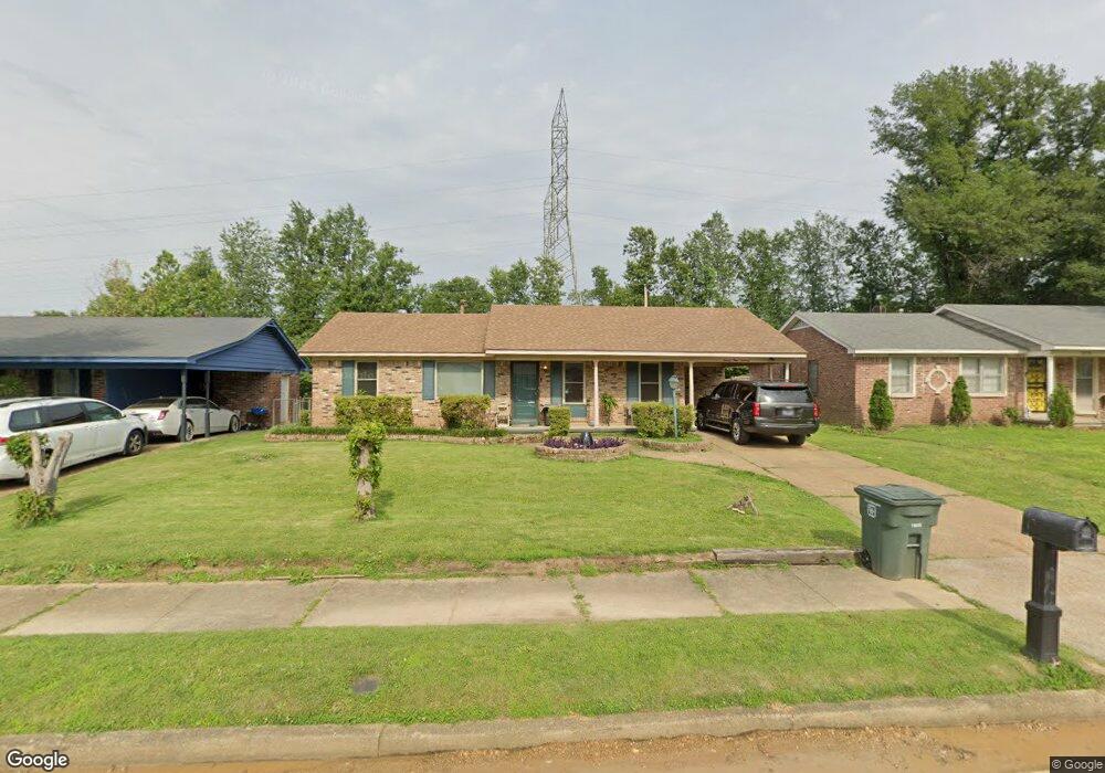
2970 Capri St Memphis, TN 38118
Parkway Village NeighborhoodEstimated Value: $137,000 - $206,000
3
Beds
2
Baths
2,078
Sq Ft
$81/Sq Ft
Est. Value
About This Home
This home is located at 2970 Capri St, Memphis, TN 38118 and is currently estimated at $169,194, approximately $81 per square foot. 2970 Capri St is a home located in Shelby County with nearby schools including Parkway Village Elementary School, American Way Middle School, and Sheffield High School.
Ownership History
Date
Name
Owned For
Owner Type
Purchase Details
Closed on
Sep 13, 2006
Sold by
Williams Anthony M
Bought by
Williams Anthony M and Galloway Sharon
Current Estimated Value
Purchase Details
Closed on
Jul 22, 2004
Sold by
Biggs Martha J and Biggs Morris Wayne
Bought by
Williams Anthony M
Home Financials for this Owner
Home Financials are based on the most recent Mortgage that was taken out on this home.
Original Mortgage
$85,500
Outstanding Balance
$52,558
Interest Rate
9.95%
Mortgage Type
Purchase Money Mortgage
Estimated Equity
$116,636
Purchase Details
Closed on
Dec 2, 1996
Sold by
Biggs Morris Wayne
Bought by
Biggs Martha J
Home Financials for this Owner
Home Financials are based on the most recent Mortgage that was taken out on this home.
Original Mortgage
$40,000
Interest Rate
6.25%
Create a Home Valuation Report for This Property
The Home Valuation Report is an in-depth analysis detailing your home's value as well as a comparison with similar homes in the area
Home Values in the Area
Average Home Value in this Area
Purchase History
| Date | Buyer | Sale Price | Title Company |
|---|---|---|---|
| Williams Anthony M | -- | Lenders Title & Escrow Llc | |
| Williams Anthony M | $95,000 | Southern Trust Title Company | |
| Biggs Martha J | -- | -- |
Source: Public Records
Mortgage History
| Date | Status | Borrower | Loan Amount |
|---|---|---|---|
| Open | Williams Anthony M | $85,500 | |
| Previous Owner | Biggs Martha J | $40,000 |
Source: Public Records
Tax History Compared to Growth
Tax History
| Year | Tax Paid | Tax Assessment Tax Assessment Total Assessment is a certain percentage of the fair market value that is determined by local assessors to be the total taxable value of land and additions on the property. | Land | Improvement |
|---|---|---|---|---|
| 2025 | $1,010 | $43,200 | $4,125 | $39,075 |
| 2024 | $1,010 | $29,800 | $2,875 | $26,925 |
| 2023 | $1,815 | $29,800 | $2,875 | $26,925 |
| 2022 | $1,815 | $29,800 | $2,875 | $26,925 |
| 2021 | $1,837 | $29,800 | $2,875 | $26,925 |
| 2020 | $1,781 | $24,575 | $2,875 | $21,700 |
| 2019 | $1,781 | $24,575 | $2,875 | $21,700 |
| 2018 | $1,781 | $24,575 | $2,875 | $21,700 |
| 2017 | $1,010 | $24,575 | $2,875 | $21,700 |
| 2016 | $1,032 | $23,625 | $0 | $0 |
| 2014 | $1,032 | $23,625 | $0 | $0 |
Source: Public Records
Map
Nearby Homes
- 3026 Dearing Rd
- 2865 Danville Cove
- 2863 Randy Cove
- 3083 Arrendale St
- 4302 Knight Arnold Rd
- 3035 Phyllis Ln
- 3118 Arrendale St
- 2937 Brandale St
- 4773 Aloha Ave
- 4825 American Way
- 4195 Camelot Ave
- 4789 Judy Lynn Ave
- 4134 Parkchester Ave
- 4831 Cottonwood Rd
- 3256 S Goodlett St
- 4843 Bridgedale Ave
- 4094 Knight Arnold Rd
- 4616 Blanding Dr
- 4876 Cottonwood Rd
- 4612 Chuck Ave