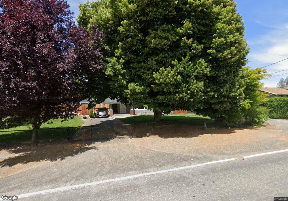
29715 SE Chase Rd Gresham, OR 97080
Sandy River NeighborhoodEstimated Value: $532,000 - $673,718
4
Beds
2
Baths
2,585
Sq Ft
$234/Sq Ft
Est. Value
About This Home
This home is located at 29715 SE Chase Rd, Gresham, OR 97080 and is currently estimated at $605,180, approximately $234 per square foot. 29715 SE Chase Rd is a home located in Multnomah County with nearby schools including East Orient Elementary School, West Orient Middle School, and Sam Barlow High School.
Ownership History
Date
Name
Owned For
Owner Type
Purchase Details
Closed on
Aug 22, 2025
Sold by
Long Michael D and Long Kasey L
Bought by
Michael D Long And Kasey L Long Living Trust and Long
Current Estimated Value
Purchase Details
Closed on
Jan 17, 2003
Sold by
Sparks Diane Ellen
Bought by
Long Michael D and Long Kasey L
Home Financials for this Owner
Home Financials are based on the most recent Mortgage that was taken out on this home.
Original Mortgage
$208,000
Interest Rate
8.99%
Create a Home Valuation Report for This Property
The Home Valuation Report is an in-depth analysis detailing your home's value as well as a comparison with similar homes in the area
Home Values in the Area
Average Home Value in this Area
Purchase History
| Date | Buyer | Sale Price | Title Company |
|---|---|---|---|
| Michael D Long And Kasey L Long Living Trust | -- | None Listed On Document | |
| Long Michael D | $215,000 | First American |
Source: Public Records
Mortgage History
| Date | Status | Borrower | Loan Amount |
|---|---|---|---|
| Previous Owner | Long Michael D | $208,000 |
Source: Public Records
Tax History
| Year | Tax Paid | Tax Assessment Tax Assessment Total Assessment is a certain percentage of the fair market value that is determined by local assessors to be the total taxable value of land and additions on the property. | Land | Improvement |
|---|---|---|---|---|
| 2025 | $6,606 | $347,580 | -- | -- |
| 2024 | $6,315 | $337,460 | -- | -- |
| 2023 | $6,177 | $327,640 | $0 | $0 |
| 2022 | $6,020 | $318,100 | $0 | $0 |
| 2021 | $5,857 | $308,840 | $0 | $0 |
| 2020 | $5,512 | $299,850 | $0 | $0 |
| 2019 | $5,373 | $291,120 | $0 | $0 |
| 2018 | $5,122 | $282,650 | $0 | $0 |
| 2017 | $4,922 | $274,420 | $0 | $0 |
| 2016 | $4,341 | $266,430 | $0 | $0 |
Source: Public Records
Map
Nearby Homes
- 30125 SE Chase Rd
- 2766 SE Teal Ave
- 6490 SE 21st St
- 6443 SE 22nd St
- 6421 SE 22nd St
- 30945 SE Lusted Rd
- 6055 SE 28th St
- 6195 SE 16th St
- 6187 SE 16th St
- 6247 SE 15th St
- 6171 SE 16th St
- 6192 SE 15th St
- 6366 SE 33rd Way
- 6184 SE 15th St
- 6118 SE 16th St
- 6112 SE 16th St
- 6106 SE 16th St
- 6115 SE 16th St
- 6109 SE 16th St
- 1490 SE Pheasant Ave
- 29735 SE Chase Rd
- 29637 SE Chase Rd
- 29644 SE Chase Rd
- 29845 SE Chase Rd
- 29547 SE Chase Rd
- 29525 SE Chase Rd
- 29917 SE Chase Rd
- 29928 SE Chase Rd
- 29445 SE Chase Rd
- 29952 SE Chase Rd
- 30031 SE Chase Rd
- 29505 SE Chase Rd
- 30026 SE Chase Rd
- 29440 SE Chase Rd
- 29333 SE Chase Rd
- 29420 SE Chase Rd
- 29403 SE Chase Rd
- 29840 SE Chase Rd
- 30116 SE Chase Rd
- 29368 SE Chase Rd
Your Personal Tour Guide
Ask me questions while you tour the home.