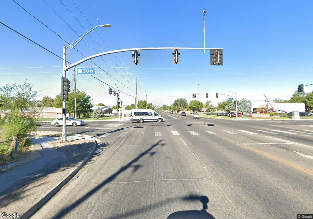
Estimated Value: $354,000 - $407,849
3
Beds
1
Bath
1,134
Sq Ft
$337/Sq Ft
Est. Value
About This Home
This home is located at 2973 F Rd, Grand Junction, CO 81504 and is currently estimated at $381,712, approximately $336 per square foot. 2973 F Rd is a home located in Mesa County with nearby schools including Fruitvale Elementary School, Bookcliff Middle School, and Central High School.
Ownership History
Date
Name
Owned For
Owner Type
Purchase Details
Closed on
Jul 30, 2021
Sold by
Maxwell Scott L and Maxwell Lanette A
Bought by
Brockin Keith Allen
Current Estimated Value
Home Financials for this Owner
Home Financials are based on the most recent Mortgage that was taken out on this home.
Original Mortgage
$360,000
Outstanding Balance
$327,498
Interest Rate
2.93%
Mortgage Type
New Conventional
Estimated Equity
$54,214
Purchase Details
Closed on
Sep 23, 1996
Sold by
Carey Andrew B and Carey Elizabeth J
Bought by
Maxwell Scott L and Maxwell Lanette A
Home Financials for this Owner
Home Financials are based on the most recent Mortgage that was taken out on this home.
Original Mortgage
$79,500
Interest Rate
7.91%
Purchase Details
Closed on
Jan 26, 1994
Sold by
Carey Andrew B
Bought by
Maxwell Scott L
Purchase Details
Closed on
Dec 1, 1993
Sold by
Carey Andrew B
Bought by
Maxwell Scott L
Create a Home Valuation Report for This Property
The Home Valuation Report is an in-depth analysis detailing your home's value as well as a comparison with similar homes in the area
Home Values in the Area
Average Home Value in this Area
Purchase History
| Date | Buyer | Sale Price | Title Company |
|---|---|---|---|
| Brockin Keith Allen | $360,000 | Abstract & Title Co | |
| Maxwell Scott L | $89,500 | First American Title | |
| Maxwell Scott L | -- | -- | |
| Maxwell Scott L | $75,000 | -- |
Source: Public Records
Mortgage History
| Date | Status | Borrower | Loan Amount |
|---|---|---|---|
| Open | Brockin Keith Allen | $360,000 | |
| Previous Owner | Maxwell Scott L | $79,500 |
Source: Public Records
Tax History Compared to Growth
Tax History
| Year | Tax Paid | Tax Assessment Tax Assessment Total Assessment is a certain percentage of the fair market value that is determined by local assessors to be the total taxable value of land and additions on the property. | Land | Improvement |
|---|---|---|---|---|
| 2024 | $1,354 | $18,090 | $5,570 | $12,520 |
| 2023 | $1,354 | $18,090 | $5,570 | $12,520 |
| 2022 | $1,212 | $15,770 | $4,520 | $11,250 |
| 2021 | $1,060 | $14,010 | $4,650 | $9,360 |
| 2020 | $948 | $12,700 | $4,650 | $8,050 |
| 2019 | $900 | $12,700 | $4,650 | $8,050 |
| 2018 | $880 | $11,300 | $3,960 | $7,340 |
| 2017 | $852 | $11,300 | $3,960 | $7,340 |
| 2016 | $723 | $10,650 | $4,380 | $6,270 |
| 2015 | $732 | $10,650 | $4,380 | $6,270 |
| 2014 | $653 | $9,490 | $3,180 | $6,310 |
Source: Public Records
Map
Nearby Homes
- 590 Darby Dr
- 608 1/2 Broken Spoke Rd
- 581 Heidel St
- 2958 Bookcliff Ave
- 616 N Sunset Ct
- 585 29 1 2 Rd
- 623 Broken Spoke Rd
- 2968 Parkway Dr
- 622 Hudson Bay Dr
- 2990 1/2 Redbud Ct
- 580 Colanwood St
- 2939 Heidi Ct
- 2975 Emerald Cir
- 592 Ronlin St
- 631 Hudson Bay Dr
- 2928 Amethyst Ct
- 631 29 1 2 Rd
- 2982 Patterson Rd
- 616 Darren Way
- 2925 Wagon Place
- 2970 N Ronlin Ave
- 2977 F Rd
- 2974 N Ronlin Ave
- 596 Darby Dr
- 598 Darby Dr
- 2972 N Ronlin Ave
- 2976 N Ronlin Ave
- 2968 N Ronlin Ave
- 0 Darby Dr
- 2978 N Ronlin Ave
- 2973 Oxbow Rd
- 594 Eastwood St
- 597 Darby Dr
- 591 Eastwood St
- N Ronlin Ave
- 2980 N Ronlin Ave
- 592 Eastwood St
- 2971 Oxbow Rd
- 0 Cleveland St
- 595 Cleveland St
