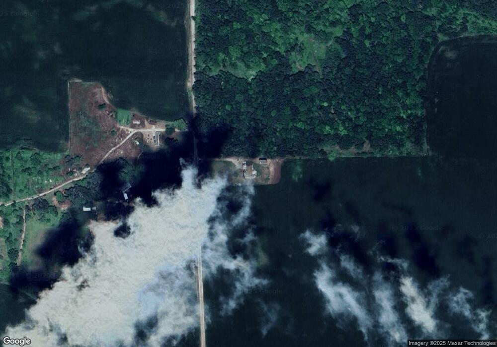
2975 Carter Rd Sterling, MI 48659
Estimated Value: $343,370 - $451,000
3
Beds
3
Baths
2,209
Sq Ft
$181/Sq Ft
Est. Value
About This Home
This home is located at 2975 Carter Rd, Sterling, MI 48659 and is currently estimated at $400,343, approximately $181 per square foot. 2975 Carter Rd is a home located in Bay County with nearby schools including Standish-Sterling Central High School.
Ownership History
Date
Name
Owned For
Owner Type
Purchase Details
Closed on
Apr 15, 2025
Sold by
Bartlett Jason T
Bought by
Bartlett Jason T and Bartlett Stacy
Current Estimated Value
Purchase Details
Closed on
Sep 24, 2020
Sold by
Bartlett Rachel A
Bought by
Bartlett Jason T
Home Financials for this Owner
Home Financials are based on the most recent Mortgage that was taken out on this home.
Original Mortgage
$150,000
Interest Rate
2.9%
Mortgage Type
Commercial
Purchase Details
Closed on
Sep 3, 2002
Sold by
Bartlett Brooke A
Bought by
Bartlett Jason T
Purchase Details
Closed on
Jun 6, 2001
Sold by
Bartlett Ronald R and Bartlett Diane M
Bought by
Bartlett Jason T and Bartlett Brooke A
Purchase Details
Closed on
Oct 6, 1997
Sold by
Bartlett Jack L and Bartlett Jean A
Bought by
Bartlett Ronald R and Bartlett Diane M
Create a Home Valuation Report for This Property
The Home Valuation Report is an in-depth analysis detailing your home's value as well as a comparison with similar homes in the area
Purchase History
| Date | Buyer | Sale Price | Title Company |
|---|---|---|---|
| Bartlett Jason T | -- | None Listed On Document | |
| Bartlett Jason T | -- | None Available | |
| Bartlett Jason T | -- | -- | |
| Bartlett Jason T | -- | -- | |
| Bartlett Ronald R | $30,000 | -- |
Source: Public Records
Mortgage History
| Date | Status | Borrower | Loan Amount |
|---|---|---|---|
| Previous Owner | Bartlett Jason T | $150,000 |
Source: Public Records
Tax History
| Year | Tax Paid | Tax Assessment Tax Assessment Total Assessment is a certain percentage of the fair market value that is determined by local assessors to be the total taxable value of land and additions on the property. | Land | Improvement |
|---|---|---|---|---|
| 2025 | $2,471 | $168,600 | $0 | $0 |
| 2024 | $843 | $131,800 | $0 | $0 |
| 2023 | $802 | $114,800 | $0 | $0 |
| 2022 | $2,260 | $120,700 | $0 | $0 |
| 2021 | $2,110 | $64,000 | $64,000 | $0 |
| 2020 | $2,066 | $102,400 | $102,400 | $0 |
| 2019 | $2,005 | $99,400 | $0 | $0 |
| 2018 | $1,981 | $90,600 | $0 | $0 |
| 2017 | $1,958 | $83,300 | $0 | $0 |
| 2016 | $1,962 | $97,100 | $0 | $97,100 |
| 2015 | -- | $106,600 | $0 | $106,600 |
| 2014 | -- | $120,000 | $0 | $120,000 |
Source: Public Records
Map
Nearby Homes
- 6034 W Sterling Rd
- 334 Main St
- NKA Ellison Rd
- 201 E Main St
- 6348 Jackpine Trail
- Lot 186 Winterset St
- 6455 N Carter Rd
- VL Pineview Ct
- 0 Wilderness Dr Unit 50199772
- 0 Wilderness Dr Unit 1942388
- VL Wilderness Cir
- 205 Court St N Unit 321
- Lot 98 Wilderness Rd
- 218 S Church St
- 0 Michigan 61
- 3895 Ellison Rd
- 1430 Alger Ct
- NKA S Huron Rd
- 318 North St
- 330 Orchard St
- 8929 Carter Rd
- 8811 Carter Rd
- 1918 Bartlett Rd
- 1876 Bartlett Rd
- 2146 Bartlett Rd
- 1822 Bartlett Rd
- 2148 Bartlett Rd
- 2148 Bartlett Rd
- 2992 Demura Rd
- 2784 Demura Rd
- 2784 Demura Rd
- 1989 Bartlett Rd
- 1688 Bartlett Rd
- 2301 Bartlett Rd
- 2349 Bartlett Rd
- 2076 Michigan 61
- 1990 M 61
- 2076 M 61
- 2106 M 61
- 1941 M 61
Your Personal Tour Guide
Ask me questions while you tour the home.
