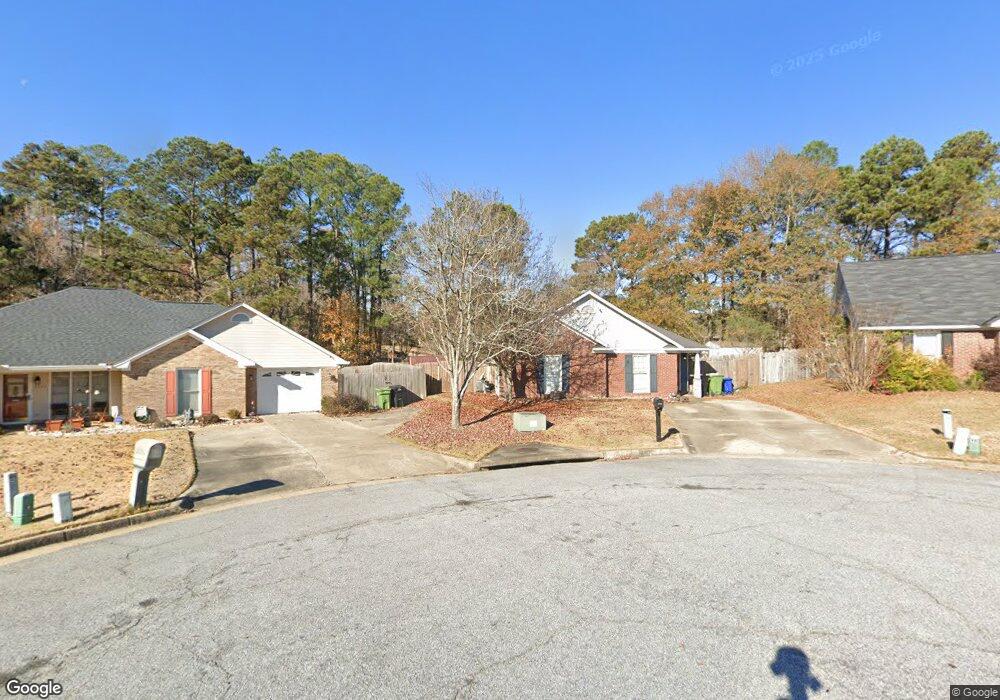
2977 Blanchard Place Columbus, GA 31909
Northern Columbus NeighborhoodEstimated Value: $196,735 - $220,000
3
Beds
3
Baths
1,349
Sq Ft
$155/Sq Ft
Est. Value
About This Home
This home is located at 2977 Blanchard Place, Columbus, GA 31909 and is currently estimated at $208,934, approximately $154 per square foot. 2977 Blanchard Place is a home located in Muscogee County with nearby schools including Blanchard Elementary School, Veterans Memorial Middle School, and Hardaway High School.
Ownership History
Date
Name
Owned For
Owner Type
Purchase Details
Closed on
Jun 2, 2009
Sold by
Mcneil Barbara and Wilson Jill Zetterower
Bought by
Porter Christine M
Current Estimated Value
Home Financials for this Owner
Home Financials are based on the most recent Mortgage that was taken out on this home.
Original Mortgage
$129,222
Outstanding Balance
$81,776
Interest Rate
4.8%
Mortgage Type
FHA
Estimated Equity
$127,158
Create a Home Valuation Report for This Property
The Home Valuation Report is an in-depth analysis detailing your home's value as well as a comparison with similar homes in the area
Home Values in the Area
Average Home Value in this Area
Purchase History
| Date | Buyer | Sale Price | Title Company |
|---|---|---|---|
| Porter Christine M | $132,000 | None Available |
Source: Public Records
Mortgage History
| Date | Status | Borrower | Loan Amount |
|---|---|---|---|
| Open | Porter Christine M | $129,222 |
Source: Public Records
Tax History Compared to Growth
Tax History
| Year | Tax Paid | Tax Assessment Tax Assessment Total Assessment is a certain percentage of the fair market value that is determined by local assessors to be the total taxable value of land and additions on the property. | Land | Improvement |
|---|---|---|---|---|
| 2025 | $2,276 | $58,136 | $8,384 | $49,752 |
| 2024 | $2,276 | $58,136 | $8,384 | $49,752 |
| 2023 | $2,290 | $58,136 | $8,384 | $49,752 |
| 2022 | $1,815 | $44,444 | $8,384 | $36,060 |
| 2021 | $1,953 | $47,820 | $8,384 | $39,436 |
| 2020 | $1,953 | $47,820 | $8,384 | $39,436 |
| 2019 | $1,959 | $47,820 | $8,384 | $39,436 |
| 2018 | $1,612 | $47,820 | $8,384 | $39,436 |
| 2017 | $1,619 | $47,820 | $8,384 | $39,436 |
| 2016 | $1,626 | $52,696 | $7,072 | $45,624 |
| 2015 | $1,629 | $52,696 | $7,072 | $45,624 |
| 2014 | $1,631 | $52,696 | $7,072 | $45,624 |
| 2013 | -- | $52,696 | $7,072 | $45,624 |
Source: Public Records
Map
Nearby Homes
- 6308 Adams Park Dr
- 3120 Weems Rd
- 5829 Ventura Dr
- 3204 Weems Rd
- 6226 Westbrook Dr
- 6232 Westbrook Dr
- 6231 Westbrook Dr
- 6225 Westbrook Dr
- 6138 Seaton Dr
- 3325 N North Quay Dr
- 2528 Lorraine St
- 2516 Lorraine St
- 6221 Charing Dr
- 5552 Perry Ave
- 5836 Sherborne Dr
- 5817 Sherborne Dr
- 3732 Arrel Dr
- 6200 Karen Ct
- 6233 Ashwood Dr
- 6200 Fox Chapel Dr
- 2983 Blanchard Place
- 6300 Adams Park Dr
- 2989 Blanchard Place
- 6309 Blanchard Ct
- 2978 Blanchard Place
- 2995 Blanchard Place
- 6315 Blanchard Ct
- 2984 Blanchard Place
- 6321 Blanchard Ct
- 2990 Blanchard Place
- 2996 Blanchard Place
- 6327 Blanchard Ct
- 6246 Adams Park Dr
- 3002 Blanchard Place
- 6333 Blanchard Ct
- 6300 Blanchard Ct
- 6306 Blanchard Ct
- 6318 Adams Park Dr
- 6312 Blanchard Ct
- 3008 Blanchard Place