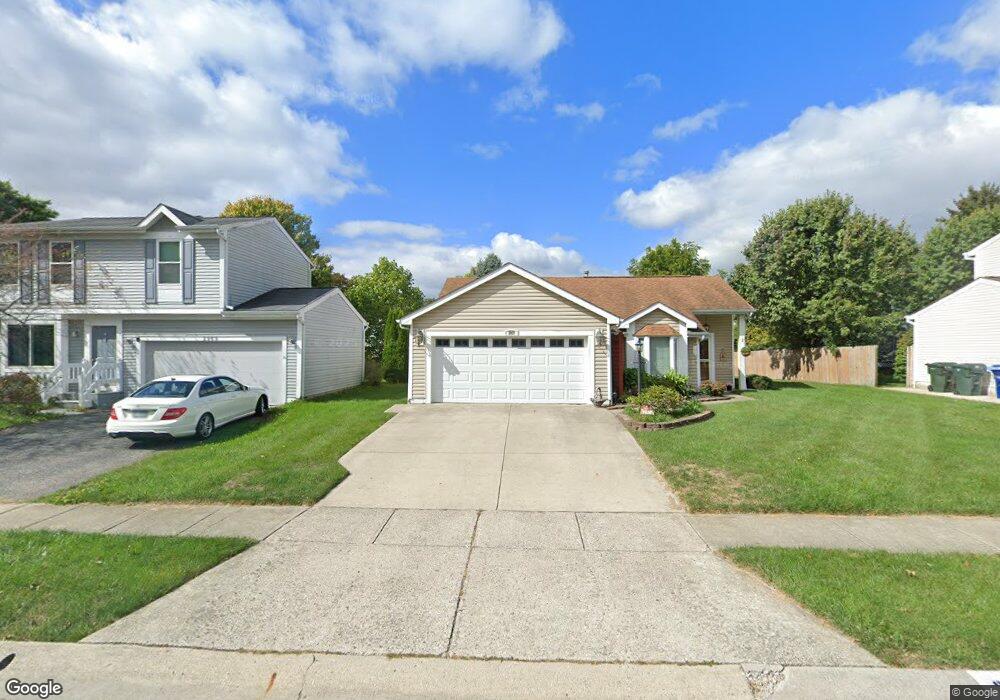
2977 Carlsbad Dr Hilliard, OH 43026
Cross Creek NeighborhoodEstimated Value: $295,000 - $338,000
3
Beds
2
Baths
1,345
Sq Ft
$238/Sq Ft
Est. Value
About This Home
This home is located at 2977 Carlsbad Dr, Hilliard, OH 43026 and is currently estimated at $320,744, approximately $238 per square foot. 2977 Carlsbad Dr is a home located in Franklin County with nearby schools including Hilliard Crossing Elementary School, Hilliard Station Sixth Grade Elementary School, and Hilliard Heritage Middle School.
Ownership History
Date
Name
Owned For
Owner Type
Purchase Details
Closed on
Mar 3, 2021
Sold by
Estate Of Garreth L Clair
Bought by
Clair Barbara A
Current Estimated Value
Purchase Details
Closed on
Mar 16, 1998
Sold by
Ciotola Carmine A and Estate Of Anthony P Ciotola
Bought by
Clair Garreth L and Clair Barbara A
Purchase Details
Closed on
Nov 21, 1991
Create a Home Valuation Report for This Property
The Home Valuation Report is an in-depth analysis detailing your home's value as well as a comparison with similar homes in the area
Home Values in the Area
Average Home Value in this Area
Purchase History
| Date | Buyer | Sale Price | Title Company |
|---|---|---|---|
| Clair Barbara A | -- | None Available | |
| Clair Garreth L | $100,000 | Amerititle Mill Run | |
| -- | $76,900 | -- |
Source: Public Records
Tax History Compared to Growth
Tax History
| Year | Tax Paid | Tax Assessment Tax Assessment Total Assessment is a certain percentage of the fair market value that is determined by local assessors to be the total taxable value of land and additions on the property. | Land | Improvement |
|---|---|---|---|---|
| 2024 | $4,252 | $85,090 | $29,470 | $55,620 |
| 2023 | $3,715 | $85,085 | $29,470 | $55,615 |
| 2022 | $3,316 | $63,010 | $15,370 | $47,640 |
| 2021 | $3,312 | $63,010 | $15,370 | $47,640 |
| 2020 | $3,836 | $63,010 | $15,370 | $47,640 |
| 2019 | $2,965 | $50,340 | $12,290 | $38,050 |
| 2018 | $1,476 | $50,340 | $12,290 | $38,050 |
| 2017 | $2,952 | $50,340 | $12,290 | $38,050 |
| 2016 | $2,812 | $45,440 | $11,800 | $33,640 |
| 2015 | $1,318 | $45,440 | $11,800 | $33,640 |
| 2014 | $2,640 | $45,440 | $11,800 | $33,640 |
| 2013 | $1,258 | $43,260 | $11,235 | $32,025 |
Source: Public Records
Map
Nearby Homes
- 4945 Singleton Dr Unit 13C
- 3012 Papin St Unit 39
- 4995 Singleton Dr
- 4995 Singleton Dr Unit 18c
- 4843 Stoneybrook Blvd Unit 30E
- 2756 Shelton Cir
- 4857 Stoneybrook Blvd Unit 29E
- 4862 Stoneybrook Blvd Unit 24E
- 2967 Castlebrook Ave
- 4976 Shady Oak Dr
- 2759 Lyndley Ct
- 5041 Stoneybrook Blvd Unit 9E
- 5078 Stoneybrook Blvd Unit 2E
- 5062 Stoneybrook Blvd Unit 3F
- 5080 Stoneybrook Blvd Unit 2D
- 5188 Calhoon Ct
- 3267 Scioto Farms Dr
- 5052 Bressler Dr
- 5208 Springdale Blvd
- 5258 Skytrail Dr
- 2985 Carlsbad Dr
- 2969 Carlsbad Dr
- 2976 Culver Dr
- 2993 Carlsbad Dr
- 2961 Carlsbad Dr
- 2984 Culver Dr
- 2968 Culver Dr
- 2992 Culver Dr
- 2978 Carlsbad Dr
- 2960 Culver Dr
- 2970 Carlsbad Dr
- 2986 Carlsbad Dr
- 2953 Carlsbad Dr
- 3001 Carlsbad Dr
- 2962 Carlsbad Dr
- 2994 Carlsbad Dr
- 2952 Culver Dr
- 3000 Culver Dr
- 2954 Carlsbad Dr
- 2945 Carlsbad Dr