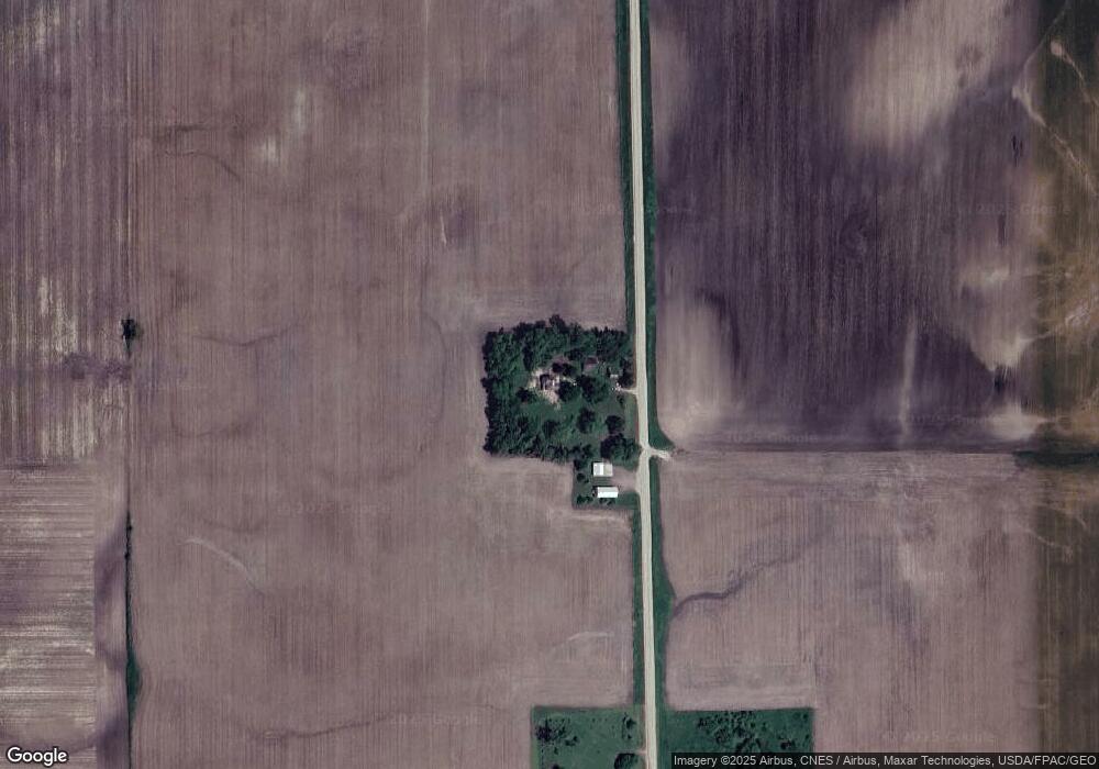
29783 762nd Ave Clarks Grove, MN 56016
Estimated Value: $105,901 - $237,000
3
Beds
1
Bath
1,360
Sq Ft
$112/Sq Ft
Est. Value
About This Home
This home is located at 29783 762nd Ave, Clarks Grove, MN 56016 and is currently estimated at $151,725, approximately $111 per square foot. 29783 762nd Ave is a home located in Freeborn County with nearby schools including Lakeview Elementary School, Southwest Middle School, and Albert Lea Senior High School.
Ownership History
Date
Name
Owned For
Owner Type
Purchase Details
Closed on
Oct 11, 2018
Sold by
Johnson Dennis and Johnson Susan
Bought by
Overturf George
Current Estimated Value
Purchase Details
Closed on
Apr 24, 2018
Sold by
Reim Jacob Jacob
Bought by
Johnson Dennis Dennis
Purchase Details
Closed on
May 24, 2017
Sold by
Posthumus Jeffrey Jeffrey
Bought by
Reim Jacob Jacob and Reim Courtney Courtney
Purchase Details
Closed on
Oct 16, 2015
Bought by
Posthumus Jeffrey Jeffrey
Create a Home Valuation Report for This Property
The Home Valuation Report is an in-depth analysis detailing your home's value as well as a comparison with similar homes in the area
Home Values in the Area
Average Home Value in this Area
Purchase History
| Date | Buyer | Sale Price | Title Company |
|---|---|---|---|
| Overturf George | $30,000 | None Available | |
| Johnson Dennis Dennis | $28,000 | -- | |
| Johnson Dennis W | $28,000 | None Available | |
| Reim Jacob Jacob | $24,000 | -- | |
| Reim Jacob | $24,000 | None Available | |
| Posthumus Jeffrey Jeffrey | $10,000 | -- |
Source: Public Records
Tax History Compared to Growth
Tax History
| Year | Tax Paid | Tax Assessment Tax Assessment Total Assessment is a certain percentage of the fair market value that is determined by local assessors to be the total taxable value of land and additions on the property. | Land | Improvement |
|---|---|---|---|---|
| 2025 | $538 | $69,200 | $57,400 | $11,800 |
| 2024 | $532 | $68,000 | $57,400 | $10,600 |
| 2023 | $434 | $65,200 | $57,400 | $7,800 |
| 2022 | $450 | $50,500 | $42,400 | $8,100 |
| 2021 | $404 | $45,600 | $40,900 | $4,700 |
| 2020 | $324 | $35,100 | $30,900 | $4,200 |
| 2019 | $324 | $35,100 | $30,900 | $4,200 |
| 2018 | $242 | $0 | $0 | $0 |
| 2016 | $236 | $0 | $0 | $0 |
| 2015 | $288 | $0 | $0 | $0 |
| 2014 | $288 | $0 | $0 | $0 |
| 2012 | $438 | $0 | $0 | $0 |
Source: Public Records
Map
Nearby Homes
- 199 2nd St NE
- 000 County Highway 45
- 378 Hillcrest Cir
- 77348 325th St
- 77201 270th St
- 26444 740th Ave
- 305 1st St SW
- 720XX 255th St
- 309 Central Ave S
- tbd 2nd St SE
- TBD Tbd
- TBA SE 2nd
- 28674 810th Ave
- 8113 SW 158th St
- 74500 240th St
- 701 Simplicity Dr Unit B
- 26795 820th Ave
- 705 Council Ct
- 707 Council Ct
- 106 6th Ave E