298 51st St Springfield, OR 97478
East Springfield NeighborhoodEstimated Value: $359,000 - $380,000
3
Beds
2
Baths
1,288
Sq Ft
$287/Sq Ft
Est. Value
About This Home
This home is located at 298 51st St, Springfield, OR 97478 and is currently estimated at $369,917, approximately $287 per square foot. 298 51st St is a home located in Lane County with nearby schools including Riverbend Elementary School, Agnes Stewart Middle School, and Thurston High School.
Ownership History
Date
Name
Owned For
Owner Type
Purchase Details
Closed on
Oct 16, 2012
Sold by
Fannie Mae
Bought by
North Richard B and North Connie
Current Estimated Value
Purchase Details
Closed on
Feb 10, 2012
Sold by
Pnc Mortgage
Bought by
Fannie Mae and Federal National Mortgage Association
Purchase Details
Closed on
Feb 6, 2012
Sold by
Johnson Steven S and Johnson Cindy L
Bought by
Pnc Mortgage
Purchase Details
Closed on
Jan 27, 1998
Sold by
Patrick Robby J and Patrick Sally M
Bought by
Johnson Steven S and Johnson Cindy L
Home Financials for this Owner
Home Financials are based on the most recent Mortgage that was taken out on this home.
Original Mortgage
$74,300
Interest Rate
7.05%
Create a Home Valuation Report for This Property
The Home Valuation Report is an in-depth analysis detailing your home's value as well as a comparison with similar homes in the area
Home Values in the Area
Average Home Value in this Area
Purchase History
| Date | Buyer | Sale Price | Title Company |
|---|---|---|---|
| North Richard B | $110,000 | Ticor Title Company Oregon | |
| Fannie Mae | $159,920 | Evergreen Land Title Co | |
| Pnc Mortgage | $133,519 | Evergreen Land Title Co | |
| Johnson Steven S | $92,900 | Title Guaranty Company |
Source: Public Records
Mortgage History
| Date | Status | Borrower | Loan Amount |
|---|---|---|---|
| Previous Owner | Johnson Steven S | $74,300 |
Source: Public Records
Tax History Compared to Growth
Tax History
| Year | Tax Paid | Tax Assessment Tax Assessment Total Assessment is a certain percentage of the fair market value that is determined by local assessors to be the total taxable value of land and additions on the property. | Land | Improvement |
|---|---|---|---|---|
| 2024 | $3,004 | $161,643 | -- | -- |
| 2023 | $3,004 | $156,935 | $0 | $0 |
| 2022 | $2,782 | $152,365 | $0 | $0 |
| 2021 | $2,732 | $147,928 | $0 | $0 |
| 2020 | $2,652 | $143,620 | $0 | $0 |
| 2019 | $2,572 | $139,437 | $0 | $0 |
| 2018 | $2,425 | $131,433 | $0 | $0 |
| 2017 | $2,332 | $131,433 | $0 | $0 |
| 2016 | $2,283 | $127,605 | $0 | $0 |
| 2015 | $2,218 | $123,888 | $0 | $0 |
| 2014 | $2,184 | $120,280 | $0 | $0 |
Source: Public Records
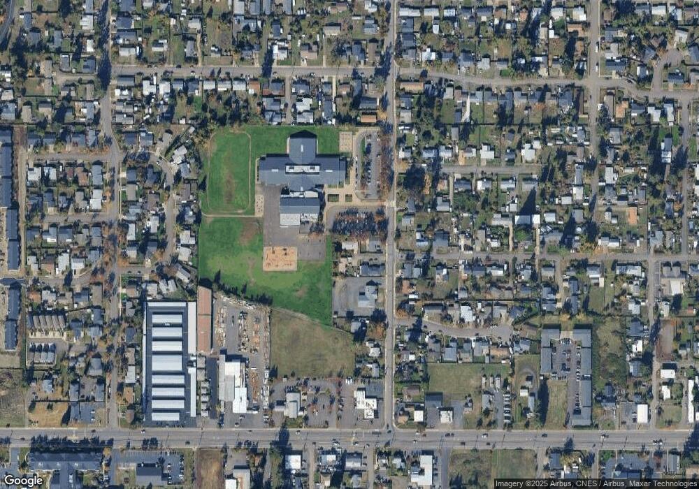
Map
Nearby Homes
- 288 51st St
- 5111 D St
- 376 49th Loop
- 376 49th State Loop
- 0 N St
- 495 52nd St
- 477 48th St
- 5244 D St
- 5360 B St
- 5094 Daisy St
- 5495 A Units 69 70 71 72 St
- 4833 Daisy St
- 205 S 54th (#11) St Unit 11
- 578 S 53rd St
- 5335 Main St Unit 229
- 5335 Main St Unit 236
- 5335 Main St Unit 214
- 5335 Main St Unit 187
- 4883 Elderberry Loop
- 205 S 54th St