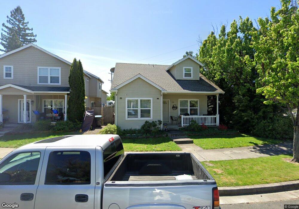
298 Brookhaven Dr Unit L20 Central Point, OR 97502
Estimated Value: $362,000 - $391,000
3
Beds
2
Baths
1,525
Sq Ft
$249/Sq Ft
Est. Value
About This Home
This home is located at 298 Brookhaven Dr Unit L20, Central Point, OR 97502 and is currently estimated at $379,272, approximately $248 per square foot. 298 Brookhaven Dr Unit L20 is a home located in Jackson County with nearby schools including Jewett Elementary School, Scenic Middle School, and Crater High School.
Ownership History
Date
Name
Owned For
Owner Type
Purchase Details
Closed on
Oct 1, 2004
Sold by
Knapp Classic Homes Inc
Bought by
Grinder David E and Grinder Sharon L
Current Estimated Value
Home Financials for this Owner
Home Financials are based on the most recent Mortgage that was taken out on this home.
Original Mortgage
$46,500
Interest Rate
5.76%
Mortgage Type
Purchase Money Mortgage
Purchase Details
Closed on
Mar 30, 2004
Sold by
Mt Valley Assoc Llc
Bought by
Knapp Classic Homes Inc
Home Financials for this Owner
Home Financials are based on the most recent Mortgage that was taken out on this home.
Original Mortgage
$1,152,000
Interest Rate
5.57%
Mortgage Type
Purchase Money Mortgage
Purchase Details
Closed on
Jan 10, 2003
Sold by
Frey Glen W and Frey Glen
Bought by
Maclellan Robert
Create a Home Valuation Report for This Property
The Home Valuation Report is an in-depth analysis detailing your home's value as well as a comparison with similar homes in the area
Home Values in the Area
Average Home Value in this Area
Purchase History
| Date | Buyer | Sale Price | Title Company |
|---|---|---|---|
| Grinder David E | $189,000 | Lawyers Title Ins | |
| Knapp Classic Homes Inc | $1,445,000 | Lawyers Title Ins | |
| Maclellan Robert | $330,000 | Amerititle |
Source: Public Records
Mortgage History
| Date | Status | Borrower | Loan Amount |
|---|---|---|---|
| Closed | Grinder David E | $46,500 | |
| Previous Owner | Knapp Classic Homes Inc | $1,152,000 |
Source: Public Records
Tax History Compared to Growth
Tax History
| Year | Tax Paid | Tax Assessment Tax Assessment Total Assessment is a certain percentage of the fair market value that is determined by local assessors to be the total taxable value of land and additions on the property. | Land | Improvement |
|---|---|---|---|---|
| 2025 | $3,308 | $198,950 | $27,310 | $171,640 |
| 2024 | $3,308 | $193,160 | $26,520 | $166,640 |
| 2023 | $3,201 | $187,540 | $25,750 | $161,790 |
| 2022 | $3,127 | $187,540 | $25,750 | $161,790 |
| 2021 | $3,037 | $182,080 | $25,000 | $157,080 |
| 2020 | $2,949 | $176,780 | $24,280 | $152,500 |
| 2019 | $2,876 | $166,650 | $22,880 | $143,770 |
| 2018 | $2,789 | $161,800 | $22,210 | $139,590 |
| 2017 | $2,719 | $161,800 | $22,210 | $139,590 |
| 2016 | $2,639 | $152,520 | $20,940 | $131,580 |
| 2015 | $2,489 | $152,520 | $20,940 | $131,580 |
| 2014 | $2,361 | $143,770 | $19,740 | $124,030 |
Source: Public Records
Map
Nearby Homes
- 327 Brookhaven Dr
- 349 Cascade Dr
- 356 Marian Ave Unit 40
- 426 Bridge Creek Dr
- 4626 N Pacific Hwy
- 1167 Boulder Ridge St
- 0 Boulder Ridge St
- 905 Comet Ave
- 526 Stone Pointe Dr
- 422 Castle Rock Dr
- 335 Applewood Dr
- 413 Sand Pointe Dr
- 1407 Rustler Peak St
- 629 Bridge Creek Dr
- 1159 Rustler Peak St
- 1317 River Run St
- 4035 Rock Way
- 1010 N 3rd St
- 1135 Shake Dr
- 626 Griffin Oaks Dr
- 298 Brookhaven Dr
- 308 Brookhaven Dr
- 4644 N Pacific Hwy
- 318 Brookhaven Dr
- 328 Brookhaven Dr
- 319 Cascade Dr
- 329 Cascade Dr
- 4682 N Pacific Hwy
- 317 Brookhaven Dr
- 307 Brookhaven Dr
- 338 Brookhaven Dr
- 297 Brookhaven Dr
- 287 Brookhaven Dr
- 348 Brookhaven Dr
- 337 Brookhaven Dr
- 4706 N Pacific Hwy
- 358 Brookhaven Dr
- 347 Brookhaven Dr
- 359 Cascade Dr
- 388 Cascade Dr