298 Meadow Crest Dr Franconia, NH 03580
Estimated Value: $933,000 - $1,250,000
4
Beds
3
Baths
3,752
Sq Ft
$292/Sq Ft
Est. Value
About This Home
This home is located at 298 Meadow Crest Dr, Franconia, NH 03580 and is currently estimated at $1,094,702, approximately $291 per square foot. 298 Meadow Crest Dr is a home with nearby schools including Lafayette Regional School, Profile Junior High School, and Profile Senior High School.
Ownership History
Date
Name
Owned For
Owner Type
Purchase Details
Closed on
Oct 27, 2023
Sold by
Mosedale Kenneth H and Mosedale Irene M
Bought by
Oakes J and Oakes P J
Current Estimated Value
Purchase Details
Closed on
Jun 7, 2012
Sold by
Mckenzie Joel C
Bought by
Mosedale Kenneth H
Create a Home Valuation Report for This Property
The Home Valuation Report is an in-depth analysis detailing your home's value as well as a comparison with similar homes in the area
Home Values in the Area
Average Home Value in this Area
Purchase History
| Date | Buyer | Sale Price | Title Company |
|---|---|---|---|
| Oakes J | $225,000 | None Available | |
| Mosedale Kenneth H | -- | -- |
Source: Public Records
Mortgage History
| Date | Status | Borrower | Loan Amount |
|---|---|---|---|
| Previous Owner | Mosedale Kenneth H | $135,000 |
Source: Public Records
Tax History Compared to Growth
Tax History
| Year | Tax Paid | Tax Assessment Tax Assessment Total Assessment is a certain percentage of the fair market value that is determined by local assessors to be the total taxable value of land and additions on the property. | Land | Improvement |
|---|---|---|---|---|
| 2024 | $11,918 | $745,782 | $278,482 | $467,300 |
| 2023 | $10,703 | $745,833 | $278,533 | $467,300 |
| 2022 | $9,101 | $745,968 | $278,668 | $467,300 |
| 2021 | $9,660 | $745,970 | $278,670 | $467,300 |
| 2020 | $9,398 | $508,017 | $198,417 | $309,600 |
| 2019 | $9,642 | $508,004 | $198,404 | $309,600 |
| 2018 | $9,611 | $508,004 | $198,404 | $309,600 |
| 2017 | $9,017 | $507,992 | $198,392 | $309,600 |
| 2016 | $8,666 | $507,985 | $198,385 | $309,600 |
| 2015 | $8,592 | $525,167 | $198,167 | $327,000 |
| 2014 | $8,587 | $525,176 | $203,076 | $322,100 |
| 2013 | $8,340 | $525,173 | $203,073 | $322,100 |
Source: Public Records
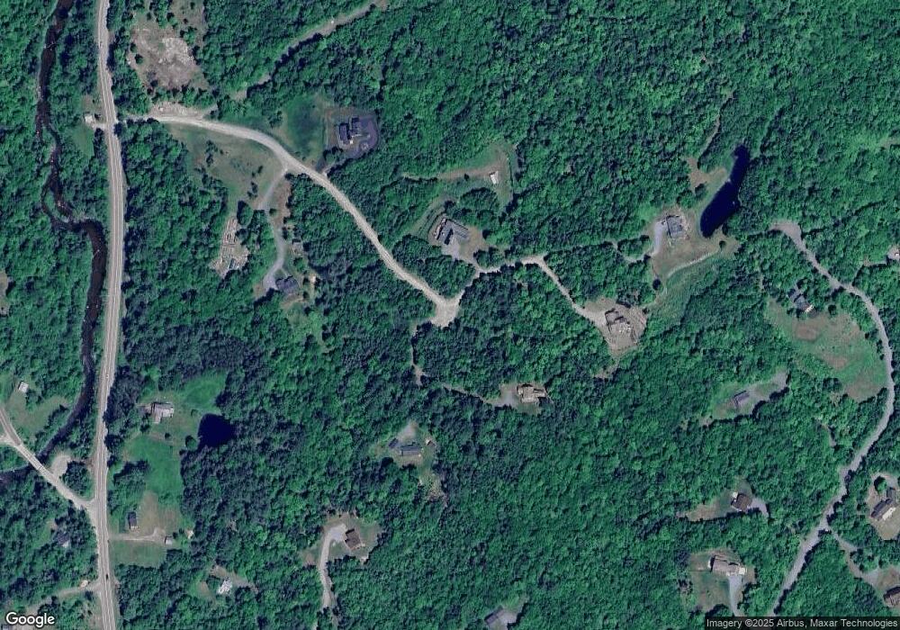
Map
Nearby Homes
- 106 Fox Hill Ln
- 112 Fox Hill Ln
- 359 Bickford Hill Rd
- 00 Iron Foundry Rd Unit 153-6
- Map 8 Lot 22 Indian Pipe Rd
- 25 Lafayette Rd
- 34 Foxglove Ln
- 00 New Hampshire 117 Unit 2
- 143 Foxglove Ln
- 1476 Profile Rd
- 572 Wells Rd
- 102 Skyline Dr
- 14 Summit Dr
- 11 Summit Dr
- 637 Wallace Hill Rd
- 333 Sunset Hill Rd
- 185 Notchway Dr
- 1196 Route 117
- 1318 Route 117
- 00 Shepards Run
- 158 Meadow Crest Dr
- 201 Balancing Rock Rd
- 135 Balancing Rock Rd
- 121 Meadow Crest Dr
- 100 Meadow Crest Dr
- 101 Balancing Rock Rd
- 0 Meadow Crest Unit 4058907
- 71 Meadow Crest Dr
- 216 Balancing Rock Rd
- 67 Balancing Rock Rd
- 123 Meadow Crest Dr
- 114 Balancing Rock Rd
- 57 Meadow Crest Dr
- 57 Meadow Crest Dr
- 129 Old County Rd
- 104 Balancing Rock Rd
- 77 Old County Rd
- 56 Balancing Rock Rd
- 00 Balancing Rock Rd
- 143 Old County Rd