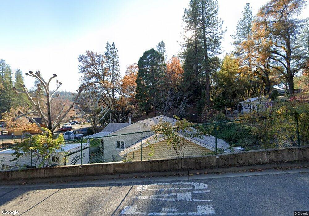
2986 Anderson Way Placerville, CA 95667
Estimated Value: $368,749 - $494,000
3
Beds
2
Baths
1,200
Sq Ft
$347/Sq Ft
Est. Value
About This Home
This home is located at 2986 Anderson Way, Placerville, CA 95667 and is currently estimated at $416,687, approximately $347 per square foot. 2986 Anderson Way is a home located in El Dorado County with nearby schools including El Dorado High School, Country Day Montessori, and El Dorado Adventist School.
Ownership History
Date
Name
Owned For
Owner Type
Purchase Details
Closed on
Aug 25, 2023
Sold by
Danz-Ingram Tammy and Danz Tammy Ann
Bought by
Danz Tammy Ann
Current Estimated Value
Purchase Details
Closed on
Jan 26, 1998
Sold by
Mason Wallace E and Mason Shirley A
Bought by
Danz Tammy Ann
Home Financials for this Owner
Home Financials are based on the most recent Mortgage that was taken out on this home.
Original Mortgage
$104,500
Interest Rate
7.05%
Purchase Details
Closed on
Aug 16, 1995
Sold by
Mason Wallace E
Bought by
Mason Wallace E and Mason Shirley A
Home Financials for this Owner
Home Financials are based on the most recent Mortgage that was taken out on this home.
Original Mortgage
$57,000
Interest Rate
7.5%
Create a Home Valuation Report for This Property
The Home Valuation Report is an in-depth analysis detailing your home's value as well as a comparison with similar homes in the area
Home Values in the Area
Average Home Value in this Area
Purchase History
| Date | Buyer | Sale Price | Title Company |
|---|---|---|---|
| Danz Tammy Ann | -- | None Listed On Document | |
| Danz Tammy Ann | $110,000 | Inter County Title Co | |
| Mason Wallace E | -- | Old Republic Title | |
| Mason Wallace E | -- | Old Republic Title |
Source: Public Records
Mortgage History
| Date | Status | Borrower | Loan Amount |
|---|---|---|---|
| Previous Owner | Danz Tammy Ann | $104,500 | |
| Previous Owner | Mason Wallace E | $57,000 |
Source: Public Records
Tax History Compared to Growth
Tax History
| Year | Tax Paid | Tax Assessment Tax Assessment Total Assessment is a certain percentage of the fair market value that is determined by local assessors to be the total taxable value of land and additions on the property. | Land | Improvement |
|---|---|---|---|---|
| 2025 | $1,358 | $135,186 | $32,716 | $102,470 |
| 2024 | $1,358 | $132,536 | $32,075 | $100,461 |
| 2023 | $1,341 | $129,939 | $31,447 | $98,492 |
| 2022 | $1,321 | $127,392 | $30,831 | $96,561 |
| 2021 | $1,305 | $124,895 | $30,227 | $94,668 |
| 2020 | $1,285 | $123,616 | $29,918 | $93,698 |
| 2019 | $1,268 | $121,193 | $29,332 | $91,861 |
| 2018 | $1,229 | $118,817 | $28,757 | $90,060 |
| 2017 | $1,210 | $116,489 | $28,194 | $88,295 |
| 2016 | $1,191 | $114,206 | $27,642 | $86,564 |
| 2015 | $1,135 | $112,493 | $27,228 | $85,265 |
| 2014 | $1,135 | $110,292 | $26,696 | $83,596 |
Source: Public Records
Map
Nearby Homes
- 2977 Mosquito Rd
- 2921 Miller Way
- 2940 Anderson Way
- 678 Main St
- 1284 Roxie Way
- 2896 Clay St
- 1017 Utah Dr
- 0 Lincoln Alley
- 0 Trails End Dr Unit 225117516
- 2-Acres Homestead Dr
- 3 Acres
- 3022 Constellation Ave
- 1001 Utah Dr
- Plan 2 at Sutter’s Ridge
- 1015 Utah Dr
- 1011 Utah Dr
- 3136 Baco Dr
- 2771 Morrene Dr
- 3095 Cedar Ravine Rd
- 8325 County Rd M44
- 2631 Clay St
- 2640 Clay St
- 1159 Franklin Ct
- 2634 Clay St
- 1120 Franklin Ct
- 2648 Clay St
- 2650 Clay St
- 2867 Anderson Way
- 1133 Franklin Ct
- 2873 Anderson Way
- 1121 Franklin Ct
- 1113 Franklin Ct
- 2654 Clay St
- 2649 Clay St
- 2877 Anderson Way
- 2961 Mosquito Rd
- 2881 Anderson Way
- 2971 Mosquito Rd
- 2661 Clay St
- 1107 Franklin Ct