2986 Mantooth Rd Newport, TN 37821
Estimated Value: $333,000 - $497,000
--
Bed
1
Bath
1,997
Sq Ft
$212/Sq Ft
Est. Value
About This Home
This home is located at 2986 Mantooth Rd, Newport, TN 37821 and is currently estimated at $422,883, approximately $211 per square foot. 2986 Mantooth Rd is a home located in Cocke County with nearby schools including Cosby Elementary School and Cosby High School.
Ownership History
Date
Name
Owned For
Owner Type
Purchase Details
Closed on
Aug 14, 2014
Sold by
Wilson Jody Wayne
Bought by
Wilson Timothy C and Wilson Rebecca L
Current Estimated Value
Home Financials for this Owner
Home Financials are based on the most recent Mortgage that was taken out on this home.
Original Mortgage
$189,700
Outstanding Balance
$145,131
Interest Rate
4.2%
Mortgage Type
Cash
Estimated Equity
$277,752
Purchase Details
Closed on
Jan 26, 2009
Bought by
Wilson Jody Wayne
Create a Home Valuation Report for This Property
The Home Valuation Report is an in-depth analysis detailing your home's value as well as a comparison with similar homes in the area
Home Values in the Area
Average Home Value in this Area
Purchase History
| Date | Buyer | Sale Price | Title Company |
|---|---|---|---|
| Wilson Timothy C | $180,400 | -- | |
| Wilson Jody Wayne | $1,300 | -- |
Source: Public Records
Mortgage History
| Date | Status | Borrower | Loan Amount |
|---|---|---|---|
| Open | Wilson Timothy C | $189,700 |
Source: Public Records
Tax History Compared to Growth
Tax History
| Year | Tax Paid | Tax Assessment Tax Assessment Total Assessment is a certain percentage of the fair market value that is determined by local assessors to be the total taxable value of land and additions on the property. | Land | Improvement |
|---|---|---|---|---|
| 2024 | $1,412 | $55,150 | $11,425 | $43,725 |
| 2023 | $1,412 | $55,150 | $11,425 | $43,725 |
| 2022 | $1,415 | $55,150 | $11,425 | $43,725 |
| 2021 | $1,415 | $55,150 | $11,425 | $43,725 |
| 2020 | $1,415 | $55,150 | $11,425 | $43,725 |
| 2019 | $1,517 | $53,600 | $11,425 | $42,175 |
| 2018 | $1,517 | $53,600 | $11,425 | $42,175 |
| 2017 | $1,554 | $53,600 | $11,425 | $42,175 |
| 2016 | $1,387 | $53,600 | $11,425 | $42,175 |
| 2015 | $1,324 | $53,600 | $11,425 | $42,175 |
| 2014 | $1,324 | $53,600 | $11,425 | $42,175 |
| 2013 | $1,324 | $55,175 | $10,925 | $44,250 |
Source: Public Records
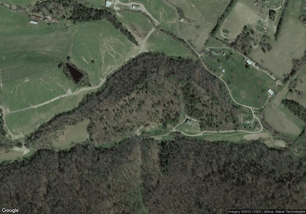
Map
Nearby Homes
- Lot 2 Bogard Rd
- Lot 3 Bogard Rd
- 3406 Bogard Rd
- 2977 Arch Rd
- 2720 Early Rd
- Lot 22 Symphony Way
- 3099 Mica Way
- 2544 Melody Way
- 146 Fancher Rd
- 775 Middle Creek Rd
- Lot 4 McGaha Chapel Rd
- 1058 Clearview Dr
- Lot 56 Cove Hollow Rd
- 0 Middle Creek Rd Unit 306527
- 1120 Yellow Springs Rd
- Lot 57 Cove Hollow Rd
- Lot 36 English Fields Dr
- 0 English Fields Dr Unit 1295842
- 0 English Fields Dr Unit 305748
- 0 English Fields Dr Unit 707048
- 2981 Mantooth Rd
- 535 Garden Dr
- 525 Garden Dr
- 545 Garden Dr
- 2985 Mantooth Rd
- 449 Lower Bogard Rd
- 465 Lower Bogard Rd
- 2835 Eugene Rd
- 455 Lower Bogard Rd
- 514 Lower Bogard Rd
- 532 Lower Bogard Rd
- 502 Lower Bogard Rd
- 454 Lower Bogard Rd
- 093.017 Eugene Rd
- 2899 Lane Dr
- 577 Lower Bogard Rd
- 2830 Eugene Rd
- 530 Lower Bogard Rd
- 2818 Eugene Rd
- 506 Lower Bogard Rd