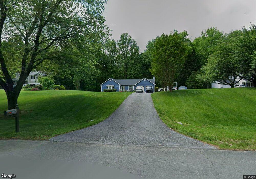
299 Greenridge Dr Dunkirk, MD 20754
Estimated Value: $493,898 - $623,000
Studio
3
Baths
2,097
Sq Ft
$270/Sq Ft
Est. Value
About This Home
This home is located at 299 Greenridge Dr, Dunkirk, MD 20754 and is currently estimated at $565,475, approximately $269 per square foot. 299 Greenridge Dr is a home located in Anne Arundel County with nearby schools including Tracey's Elementary School, Southern Middle School, and Southern High School.
Ownership History
Date
Name
Owned For
Owner Type
Purchase Details
Closed on
Feb 17, 2023
Sold by
Mcguire Thomas E
Bought by
Mcguire Family Revocable Trust
Current Estimated Value
Purchase Details
Closed on
Apr 24, 1989
Sold by
Bay Country Estates Ptnshp
Bought by
Mcguire Thomas E and Mcguire Patricia A
Home Financials for this Owner
Home Financials are based on the most recent Mortgage that was taken out on this home.
Original Mortgage
$155,650
Interest Rate
10.99%
Create a Home Valuation Report for This Property
The Home Valuation Report is an in-depth analysis detailing your home's value as well as a comparison with similar homes in the area
Purchase History
| Date | Buyer | Sale Price | Title Company |
|---|---|---|---|
| Mcguire Family Revocable Trust | -- | -- | |
| Mcguire Thomas E | $172,900 | -- |
Source: Public Records
Mortgage History
| Date | Status | Borrower | Loan Amount |
|---|---|---|---|
| Previous Owner | Mcguire Thomas E | $155,650 |
Source: Public Records
Tax History
| Year | Tax Paid | Tax Assessment Tax Assessment Total Assessment is a certain percentage of the fair market value that is determined by local assessors to be the total taxable value of land and additions on the property. | Land | Improvement |
|---|---|---|---|---|
| 2025 | $4,061 | $414,400 | -- | -- |
| 2024 | $4,061 | $390,200 | $0 | $0 |
| 2023 | $3,934 | $366,000 | $144,000 | $222,000 |
| 2022 | $3,693 | $366,000 | $144,000 | $222,000 |
| 2020 | $3,551 | $368,500 | $159,000 | $209,500 |
| 2019 | $3,495 | $361,433 | $0 | $0 |
| 2018 | $3,593 | $354,367 | $0 | $0 |
| 2017 | $3,298 | $347,300 | $0 | $0 |
| 2016 | -- | $340,200 | $0 | $0 |
| 2015 | -- | $333,100 | $0 | $0 |
| 2014 | -- | $326,000 | $0 | $0 |
Source: Public Records
Map
Nearby Homes
- 276 Southdale Ct
- 6340 Mckendree Rd
- 461 Jewell Rd
- 6095 Solomons Island Rd
- 12761 Carronade Ct
- 5705 Iron Stone Rd
- 6007 Solomons Island Rd
- 99 Hummingbird Ct
- 6125 Fishers Station Rd
- 106 Valley View Farm Ln
- 11130 Dumbarton Dr
- 6281 Franklin Gibson Rd
- 5742 Brooks Woods Rd
- 60 Friendship Rd
- 2850 Dunleigh Dr
- 2950 Chaney Rd
- 11216 Lakeview Dr
- 94 Friendship Rd
- 6300 Town Point Rd
- 5707 Iron Stone Rd
- 303 Greenridge Dr
- 295 Greenridge Dr
- 307 Greenridge Dr
- 300 Greenridge Dr
- 291 Greenridge Dr
- 304 Greenridge Dr
- 308 Greenridge Dr
- 311 Greenridge Dr
- 287 Greenridge Dr
- 6314 Westmont Ct
- 6319 Oaklyn Ct
- 315 Greenridge Dr
- 263 Southdale Ct
- 6319 Westmont Ct
- 283 Greenridge Dr
- 319 Greenridge Dr
- 6318 Oaklyn Ct
- 284 Greenridge Dr
- 6310 Westmont Ct
- 265 Southdale Ct
Your Personal Tour Guide
Ask me questions while you tour the home.