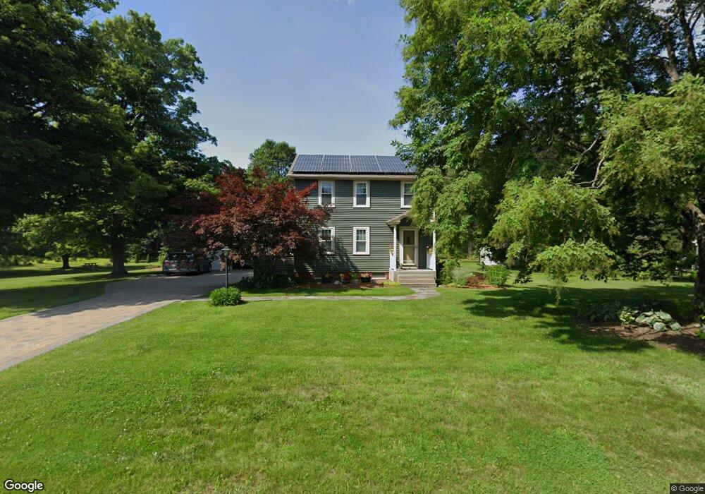
299 Log Plain Rd Greenfield, MA 01301
Estimated Value: $358,000 - $524,000
4
Beds
2
Baths
2,548
Sq Ft
$172/Sq Ft
Est. Value
About This Home
This home is located at 299 Log Plain Rd, Greenfield, MA 01301 and is currently estimated at $439,050, approximately $172 per square foot. 299 Log Plain Rd is a home located in Franklin County with nearby schools including Greenfield Center School, Cornerstone Christian School, and Four Winds School.
Ownership History
Date
Name
Owned For
Owner Type
Purchase Details
Closed on
Mar 31, 1998
Sold by
Rogalski Joseph M and Blake Phyllis D
Bought by
Harris Stephen G and Walker Lisa A
Current Estimated Value
Home Financials for this Owner
Home Financials are based on the most recent Mortgage that was taken out on this home.
Original Mortgage
$96,000
Interest Rate
6.96%
Mortgage Type
Purchase Money Mortgage
Create a Home Valuation Report for This Property
The Home Valuation Report is an in-depth analysis detailing your home's value as well as a comparison with similar homes in the area
Home Values in the Area
Average Home Value in this Area
Purchase History
| Date | Buyer | Sale Price | Title Company |
|---|---|---|---|
| Harris Stephen G | $128,000 | -- | |
| Harris Stephen G | $128,000 | -- |
Source: Public Records
Mortgage History
| Date | Status | Borrower | Loan Amount |
|---|---|---|---|
| Open | Harris Stephen G | $75,000 | |
| Closed | Harris Stephen G | $96,000 |
Source: Public Records
Tax History Compared to Growth
Tax History
| Year | Tax Paid | Tax Assessment Tax Assessment Total Assessment is a certain percentage of the fair market value that is determined by local assessors to be the total taxable value of land and additions on the property. | Land | Improvement |
|---|---|---|---|---|
| 2025 | $7,358 | $376,200 | $88,200 | $288,000 |
| 2024 | $7,371 | $361,500 | $75,400 | $286,100 |
| 2023 | $6,640 | $337,900 | $75,400 | $262,500 |
| 2022 | $6,781 | $303,800 | $75,800 | $228,000 |
| 2021 | $6,469 | $278,600 | $79,800 | $198,800 |
| 2020 | $6,221 | $271,300 | $79,800 | $191,500 |
| 2019 | $5,852 | $261,700 | $70,200 | $191,500 |
| 2018 | $5,760 | $256,800 | $69,000 | $187,800 |
| 2017 | $5,580 | $256,800 | $69,000 | $187,800 |
| 2016 | $5,614 | $257,400 | $69,000 | $188,400 |
| 2015 | $5,596 | $248,600 | $70,600 | $178,000 |
| 2014 | $5,104 | $248,600 | $70,600 | $178,000 |
Source: Public Records
Map
Nearby Homes
- 31 Lovers Ln
- 001 Adams Rd
- 47 Cross St
- 83 Eden Trail Branch
- 34 Brookside Ave
- 72 Meadowood Dr
- 696 Bernardston Rd
- 75 South St Unit 3
- 59 River St
- 23 Industrial Dr
- 1 Northfield Rd
- 79 Burnham Rd
- 182 Main Rd
- 539 Fox Hill Rd
- 137 French King Hwy
- 21 Hillside Ave
- 0 Millers Falls Rd Unit 73034825
- 544 Fox Hill Rd (Vacant Land)
- 335 Federal St
- 218 Greenfield Rd
- 307 Log Plain Rd
- 311 Log Plain Rd
- 283 Log Plain Rd
- 319 Log Plain Rd
- 298 Log Plain Rd
- 316 Log Plain Rd
- 325 Log Plain Rd
- 280 Log Plain Rd
- 271 Log Plain Rd
- 39 E Wayland Dr
- 329 Log Plain Rd
- 330 Log Plain Rd
- 267 Log Plain Rd
- 21 E Wayland Dr
- 6 Wayland Dr
- 4 Wayland Dr
- 333 Log Plain Rd
- 14 E Wayland Dr
- 336 Log Plain Rd
- 41 E Wayland Dr