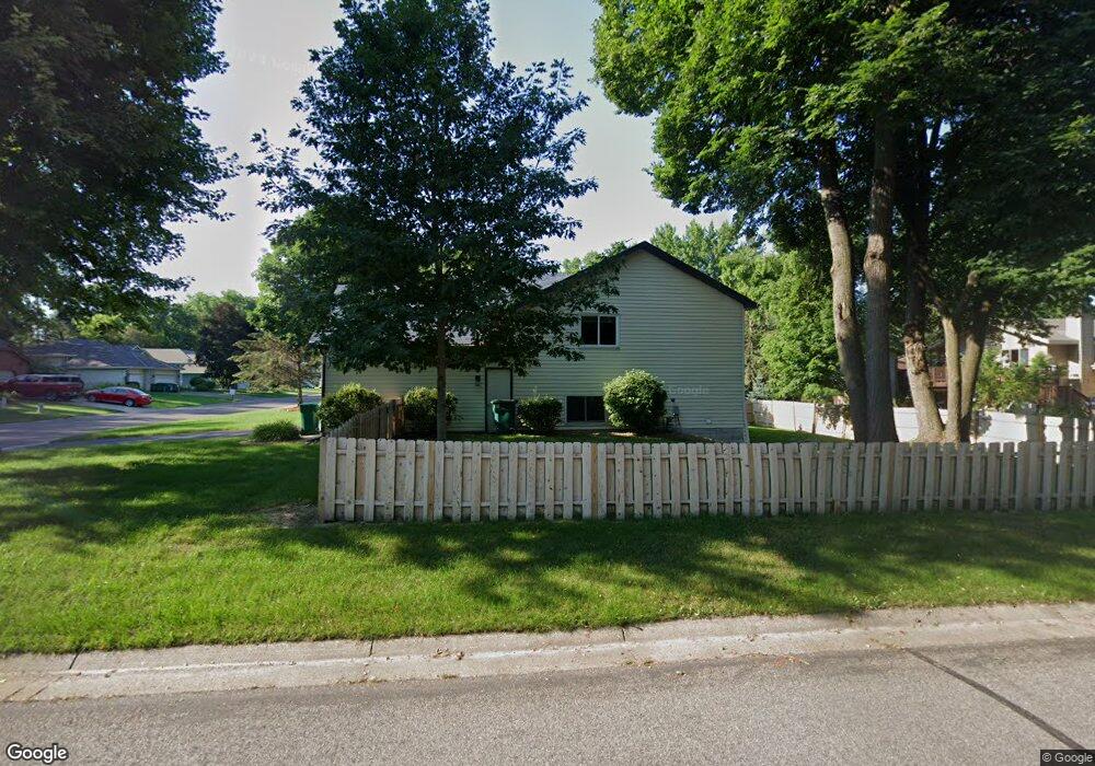
2991 Ontario Rd Saint Paul, MN 55117
Estimated Value: $407,676 - $456,000
4
Beds
2
Baths
2,268
Sq Ft
$193/Sq Ft
Est. Value
About This Home
This home is located at 2991 Ontario Rd, Saint Paul, MN 55117 and is currently estimated at $437,919, approximately $193 per square foot. 2991 Ontario Rd is a home located in Ramsey County with nearby schools including Little Canada Elementary School, Roseville Area Middle School, and Roseville Area Senior High School.
Ownership History
Date
Name
Owned For
Owner Type
Purchase Details
Closed on
Jun 26, 2015
Sold by
Nielsen Carl M and Nielsen Delores L
Bought by
Sumner Sheila A
Current Estimated Value
Home Financials for this Owner
Home Financials are based on the most recent Mortgage that was taken out on this home.
Original Mortgage
$211,500
Outstanding Balance
$164,684
Interest Rate
3.82%
Estimated Equity
$273,235
Purchase Details
Closed on
Jul 29, 2004
Sold by
Adelmann Timothy L and Adelmann Kerry Lynn
Bought by
Nielsen Carl M and Nielsen Delores L
Create a Home Valuation Report for This Property
The Home Valuation Report is an in-depth analysis detailing your home's value as well as a comparison with similar homes in the area
Home Values in the Area
Average Home Value in this Area
Purchase History
| Date | Buyer | Sale Price | Title Company |
|---|---|---|---|
| Sumner Sheila A | $242,121 | Titlesmart Inc | |
| Nielsen Carl M | $254,000 | -- |
Source: Public Records
Mortgage History
| Date | Status | Borrower | Loan Amount |
|---|---|---|---|
| Open | Sumner Sheila A | $211,500 |
Source: Public Records
Tax History Compared to Growth
Tax History
| Year | Tax Paid | Tax Assessment Tax Assessment Total Assessment is a certain percentage of the fair market value that is determined by local assessors to be the total taxable value of land and additions on the property. | Land | Improvement |
|---|---|---|---|---|
| 2025 | $4,926 | $396,500 | $85,600 | $310,900 |
| 2023 | $4,926 | $385,200 | $85,600 | $299,600 |
| 2022 | $4,208 | $365,100 | $85,600 | $279,500 |
| 2021 | $3,752 | $311,200 | $85,600 | $225,600 |
| 2020 | $3,538 | $300,100 | $85,600 | $214,500 |
| 2019 | $3,454 | $267,400 | $85,600 | $181,800 |
| 2018 | $3,568 | $253,700 | $85,600 | $168,100 |
| 2017 | $2,934 | $254,700 | $84,700 | $170,000 |
| 2016 | $2,984 | $0 | $0 | $0 |
| 2015 | $3,026 | $224,200 | $84,700 | $139,500 |
| 2014 | $2,896 | $0 | $0 | $0 |
Source: Public Records
Map
Nearby Homes
- 3000 Ontario Rd
- 3003 Greenbrier St
- 3028 Edgerton St
- 3120 Greenbrier St
- 3092 Vanderbie St
- 3086 Ash St
- 2930 Desoto St
- 3017 Hemlock St
- 3014 Willow St
- 3070 Cedar St
- St.Clair Plan at Pioneer Commons - Liberty Collection
- Raleigh Plan at Pioneer Commons - Liberty Collection
- Franklin Plan at Pioneer Commons - Colonial Manor Collection
- Revere Plan at Pioneer Commons - Colonial Manor Collection
- 3015 Basswood St
- 2830 Noel Dr
- 2991 Pitrina Way
- 3230 Edgerton St
- 2974 Frattalone Ln
- 998 Kohlman Ct
- 2985 Ontario Rd
- 2990 Thunder Bay Rd
- 3001 Ontario Rd
- 2984 Thunder Bay Rd
- 2990 Ontario Rd
- 2979 Ontario Rd
- 3000 Thunder Bay Rd
- 2984 Ontario Rd
- 2978 2978 Thunder Bay Rd
- 2978 Thunder Bay Rd
- 2978 2978 Ontario Rd
- 3007 Ontario Rd
- 2978 Ontario Rd
- 2973 Ontario Rd
- 3006 Thunder Bay Rd
- 2991 Thunder Bay Rd
- 3006 Ontario Rd
- 710 Allen Ave
- 2985 Thunder Bay Rd
- 2972 Thunder Bay Rd