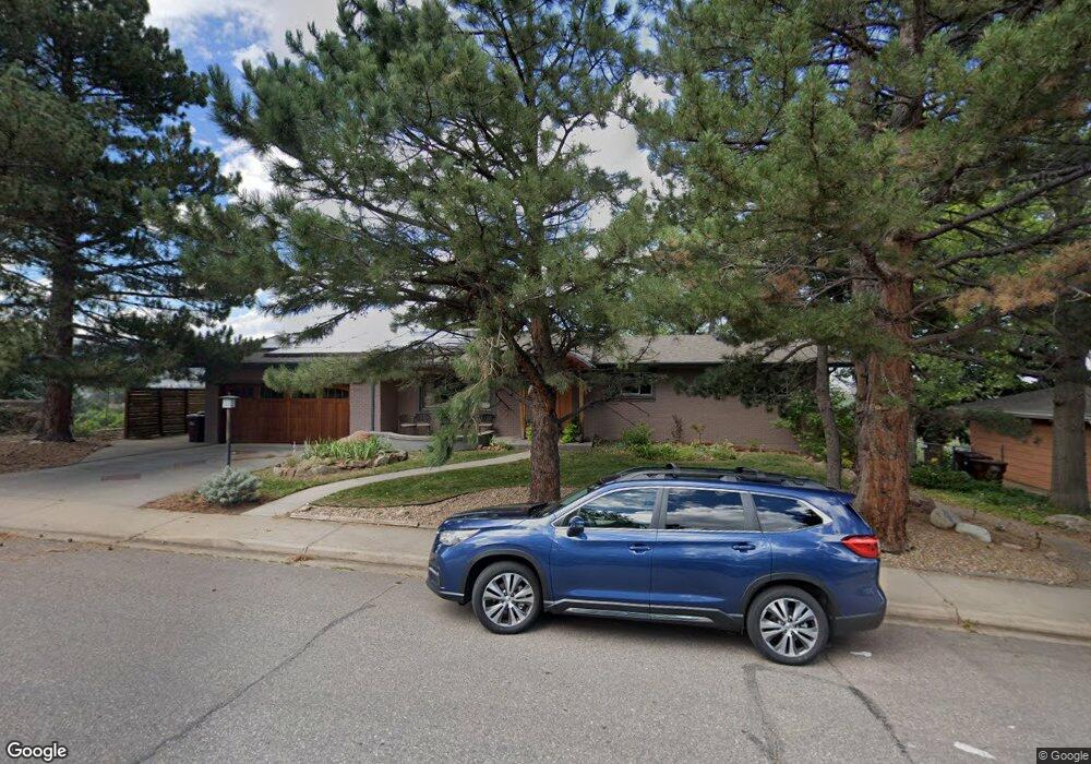
2995 Stanford Ave Boulder, CO 80305
South Boulder NeighborhoodEstimated Value: $1,601,000 - $2,548,000
4
Beds
3
Baths
1,628
Sq Ft
$1,177/Sq Ft
Est. Value
About This Home
This home is located at 2995 Stanford Ave, Boulder, CO 80305 and is currently estimated at $1,916,601, approximately $1,177 per square foot. 2995 Stanford Ave is a home located in Boulder County with nearby schools including Bear Creek Elementary School, Creekside Elementary School, and Southern Hills Middle School.
Ownership History
Date
Name
Owned For
Owner Type
Purchase Details
Closed on
Oct 8, 2008
Sold by
Ruehle Pamela Cook and Ruehi Thomas Michael
Bought by
Nilan Patricia J
Current Estimated Value
Home Financials for this Owner
Home Financials are based on the most recent Mortgage that was taken out on this home.
Original Mortgage
$118,000
Interest Rate
5%
Mortgage Type
Seller Take Back
Purchase Details
Closed on
Nov 27, 1996
Sold by
Ruddock Steven M and Ruddock Maureen B
Bought by
Nilan Patricia J
Home Financials for this Owner
Home Financials are based on the most recent Mortgage that was taken out on this home.
Original Mortgage
$287,200
Interest Rate
7.9%
Purchase Details
Closed on
Apr 19, 1985
Bought by
Nilan Patricia J
Purchase Details
Closed on
Aug 12, 1980
Bought by
Nilan Patricia J
Create a Home Valuation Report for This Property
The Home Valuation Report is an in-depth analysis detailing your home's value as well as a comparison with similar homes in the area
Home Values in the Area
Average Home Value in this Area
Purchase History
| Date | Buyer | Sale Price | Title Company |
|---|---|---|---|
| Nilan Patricia J | -- | None Available | |
| Nilan Patricia J | $359,000 | -- | |
| Nilan Patricia J | $133,000 | -- | |
| Nilan Patricia J | $104,500 | -- |
Source: Public Records
Mortgage History
| Date | Status | Borrower | Loan Amount |
|---|---|---|---|
| Closed | Nilan Patricia J | $118,000 | |
| Previous Owner | Nilan Patricia J | $287,200 |
Source: Public Records
Tax History
| Year | Tax Paid | Tax Assessment Tax Assessment Total Assessment is a certain percentage of the fair market value that is determined by local assessors to be the total taxable value of land and additions on the property. | Land | Improvement |
|---|---|---|---|---|
| 2025 | $9,969 | $124,850 | $112,365 | $12,485 |
| 2024 | $9,969 | $124,850 | $112,365 | $12,485 |
| 2023 | $9,796 | $113,438 | $70,276 | $46,846 |
| 2022 | $9,340 | $100,580 | $90,522 | $10,058 |
| 2021 | $8,907 | $103,474 | $93,127 | $10,347 |
| 2020 | $8,067 | $92,679 | $74,146 | $18,533 |
| 2019 | $7,944 | $92,679 | $74,146 | $18,533 |
| 2018 | $8,138 | $93,866 | $75,096 | $18,770 |
| 2017 | $7,884 | $103,775 | $83,023 | $20,752 |
| 2016 | $6,871 | $79,378 | $58,984 | $20,394 |
| 2015 | $6,507 | $65,741 | $28,576 | $37,165 |
| 2014 | $5,528 | $65,741 | $28,576 | $37,165 |
Source: Public Records
Map
Nearby Homes
- 2955 Stanford Ave
- 3000 Dartmouth Ave
- 2585 Kohler Dr
- 345 S 38th St
- 2235 Vassar Dr
- 2860 Table Mesa Dr
- 450 S 41st St
- 210 S 39th St
- 3805 Martin Dr
- 1965 Kohler Dr
- 725 S 45th St
- 1865 Kohler Dr
- 4453 Hamilton Ct
- 3210 Emerson Ave
- 2250 Bluebell Ave
- 245 Fair Place
- 3450 Emerson Ave
- 3490 Emerson Ave
- 4445 Squires Cir
- 4595 Moorhead Ave
- 3005 Stanford Ave
- 2990 Stanford Ave
- 2950 Stanford Ave
- 3055 Stanford Ave
- 3010 Stanford Ave
- 2910 Stanford Ave
- 2995 Regis Dr
- 2955 Regis Dr
- 3005 Regis Dr
- 3095 Stanford Ave
- 2895 Stanford Ave
- 3060 Dover Dr
- 3090 Dover Dr
- 3030 Dover Dr
- 3100 Dover Dr
- 2890 Stanford Ave
- 3090 Stanford Ave
- 3000 Dover Dr
- 3130 Dover Dr
- 2990 Dover Dr
Your Personal Tour Guide
Ask me questions while you tour the home.