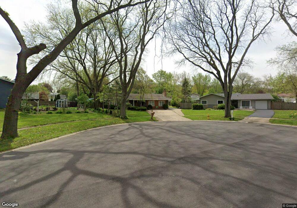
2S621 Audubon Ct Lombard, IL 60148
Estimated Value: $397,044 - $453,000
3
Beds
2
Baths
1,882
Sq Ft
$226/Sq Ft
Est. Value
About This Home
This home is located at 2S621 Audubon Ct, Lombard, IL 60148 and is currently estimated at $426,011, approximately $226 per square foot. 2S621 Audubon Ct is a home located in DuPage County with nearby schools including Butterfield Elementary School, Madison Elementary School, and Wm Hammerschmidt Elementary School.
Ownership History
Date
Name
Owned For
Owner Type
Purchase Details
Closed on
Aug 1, 2018
Sold by
Wasil Dolores
Bought by
The Dolores Wasil Trust
Current Estimated Value
Purchase Details
Closed on
Mar 23, 2006
Sold by
Cantu Roger and Cantu Virginia M
Bought by
Wasil Dolores
Purchase Details
Closed on
Mar 27, 1995
Sold by
Salamone Frank and Salamone Doris J
Bought by
Cantu Roger and Cantu Virginia M
Home Financials for this Owner
Home Financials are based on the most recent Mortgage that was taken out on this home.
Original Mortgage
$119,200
Interest Rate
8.79%
Create a Home Valuation Report for This Property
The Home Valuation Report is an in-depth analysis detailing your home's value as well as a comparison with similar homes in the area
Home Values in the Area
Average Home Value in this Area
Purchase History
| Date | Buyer | Sale Price | Title Company |
|---|---|---|---|
| The Dolores Wasil Trust | -- | None Available | |
| Wasil Dolores | $303,500 | Atg | |
| Cantu Roger | $149,000 | -- |
Source: Public Records
Mortgage History
| Date | Status | Borrower | Loan Amount |
|---|---|---|---|
| Previous Owner | Cantu Roger | $119,200 |
Source: Public Records
Tax History Compared to Growth
Tax History
| Year | Tax Paid | Tax Assessment Tax Assessment Total Assessment is a certain percentage of the fair market value that is determined by local assessors to be the total taxable value of land and additions on the property. | Land | Improvement |
|---|---|---|---|---|
| 2024 | $5,139 | $106,826 | $27,910 | $78,916 |
| 2023 | $5,306 | $98,330 | $25,690 | $72,640 |
| 2022 | $7,111 | $108,550 | $25,700 | $82,850 |
| 2021 | $5,550 | $105,970 | $25,090 | $80,880 |
| 2020 | $5,551 | $104,990 | $24,860 | $80,130 |
| 2019 | $6,625 | $102,220 | $24,200 | $78,020 |
| 2018 | $6,316 | $94,580 | $22,800 | $71,780 |
| 2017 | $5,915 | $91,090 | $21,960 | $69,130 |
| 2016 | $6,135 | $87,450 | $21,080 | $66,370 |
| 2015 | $6,080 | $83,430 | $20,110 | $63,320 |
| 2014 | $6,012 | $80,630 | $14,830 | $65,800 |
| 2013 | $5,791 | $80,870 | $14,870 | $66,000 |
Source: Public Records
Map
Nearby Homes
- 21W246 Audubon Rd
- 21W353 Drury Ln
- 2S200 Valley Rd
- 2S225 Lawler Ln
- 21W745 Glen Valley Dr
- 2S165 Huntington Ct
- 22W041 Pinegrove Ct
- 2S365 Milton Ave
- 1151 Whitehall St
- 1128 Hunter St
- 2100 S Lloyd Ave
- 1073 Foxworth Blvd
- 2S137 Beaumont Ln Unit 9
- 3S240 Burr Oak Dr
- 22W351 Birchwood Dr
- 1S730 Milton Ave
- 2005 S Finley Rd Unit 1204
- 2005 S Finley Rd Unit 901
- 2005 S Finley Rd Unit 1102
- 2005 S Finley Rd Unit 1107
- 2S622 Audubon Ct
- 21W315 Audubon Rd
- 21W305 Audubon Rd
- 21W330 Ahlstrand Rd
- 2S616 Audubon Ct
- 21W285 Audubon Rd
- 21W320 Ahlstrand Rd
- 21W340 Ahlstrand Rd
- 21W310 Ahlstrand Rd
- 21W341 Audubon Rd
- 2S610 Audubon Ct
- 21W300 Ahlstrand Rd
- 21W350 Ahlstrand Rd
- 21W310 Audubon Rd
- 21W275 Audubon Rd
- 21W345 Audubon Rd
- 21W320 Audubon Rd
- 21W302 Audubon Rd
- 21 Audubon Rd
- 21W360 Ahlstrand Rd