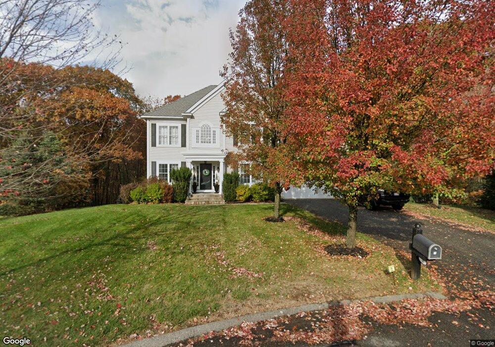
3 Birchfield Rd Unit Lot 21 Amesbury, MA 01913
Estimated Value: $1,080,000 - $1,191,000
4
Beds
3
Baths
3,200
Sq Ft
$357/Sq Ft
Est. Value
About This Home
This home is located at 3 Birchfield Rd Unit Lot 21, Amesbury, MA 01913 and is currently estimated at $1,140,882, approximately $356 per square foot. 3 Birchfield Rd Unit Lot 21 is a home located in Essex County with nearby schools including Amesbury High School.
Ownership History
Date
Name
Owned For
Owner Type
Purchase Details
Closed on
Oct 25, 2006
Sold by
Katsikis & Dimopoulos Ll
Bought by
Spero John M
Current Estimated Value
Home Financials for this Owner
Home Financials are based on the most recent Mortgage that was taken out on this home.
Original Mortgage
$417,000
Interest Rate
6.48%
Purchase Details
Closed on
Dec 7, 2005
Sold by
Merrimack Landing Llc
Bought by
Katsikis and Dimopoulos
Create a Home Valuation Report for This Property
The Home Valuation Report is an in-depth analysis detailing your home's value as well as a comparison with similar homes in the area
Home Values in the Area
Average Home Value in this Area
Purchase History
| Date | Buyer | Sale Price | Title Company |
|---|---|---|---|
| Spero John M | $629,900 | -- | |
| Katsikis | $215,000 | -- |
Source: Public Records
Mortgage History
| Date | Status | Borrower | Loan Amount |
|---|---|---|---|
| Open | Katsikis | $416,500 | |
| Closed | Katsikis | $417,000 | |
| Closed | Katsikis | $55,000 |
Source: Public Records
Tax History Compared to Growth
Tax History
| Year | Tax Paid | Tax Assessment Tax Assessment Total Assessment is a certain percentage of the fair market value that is determined by local assessors to be the total taxable value of land and additions on the property. | Land | Improvement |
|---|---|---|---|---|
| 2025 | $15,649 | $1,022,800 | $296,500 | $726,300 |
| 2024 | $14,932 | $954,700 | $279,800 | $674,900 |
| 2023 | $13,546 | $829,000 | $232,800 | $596,200 |
| 2022 | $13,038 | $737,000 | $202,500 | $534,500 |
| 2021 | $13,388 | $733,600 | $199,000 | $534,600 |
| 2020 | $12,449 | $724,600 | $191,400 | $533,200 |
| 2019 | $12,605 | $686,200 | $191,400 | $494,800 |
| 2018 | $12,131 | $638,800 | $182,300 | $456,500 |
| 2017 | $12,437 | $623,400 | $182,300 | $441,100 |
| 2016 | $12,935 | $637,800 | $214,900 | $422,900 |
| 2015 | $12,698 | $618,200 | $214,900 | $403,300 |
| 2014 | $12,389 | $590,800 | $214,900 | $375,900 |
Source: Public Records
Map
Nearby Homes
- 50 Middle Rd
- 3 Marshall Dr
- 3 Cottage Ln
- 13 Bailey Pond Ln Unit 13
- 19 Cutter Ln Unit 19
- 15 Beacon St
- 11 Beacon St
- 60 Merrimac St Unit 907
- 60 Merrimac St Unit 604
- 60 Merrimac St Unit 508
- 3 Pinecrest Ave
- 36 Hillside Ave
- 35 Merrimac St
- 10 Olde Taverne Ln
- 160 Haverhill Rd
- 49 W Greenwood St
- 8 Old County Rd
- 2 Hitching Post Ln
- 8 Glenn Rd
- 6 Wells Ave Unit C
- 3 Birchfield Rd
- 5 Birchfield Rd
- 25 Riverfront Dr
- 1 Birchfield Rd
- 4 Birchfield Rd
- 24 Birchfield Rd
- 2 Birchfield Rd
- 23 Riverfront Dr
- 21 Riverfront Dr
- 14 Cabot Ct
- 12 Cabot Ct
- 1 Arborcrest Drive Lot25
- 1 Arborcrest Rd
- 3 Arborcrest Rd
- 2 Castlegate Rd
- 16 Cabot Ct
- 7 Castlegate Rd
- 5 Arborcrest Rd
- 2 Arborcrest Rd
- 18 Riverfront Dr Unit L 42