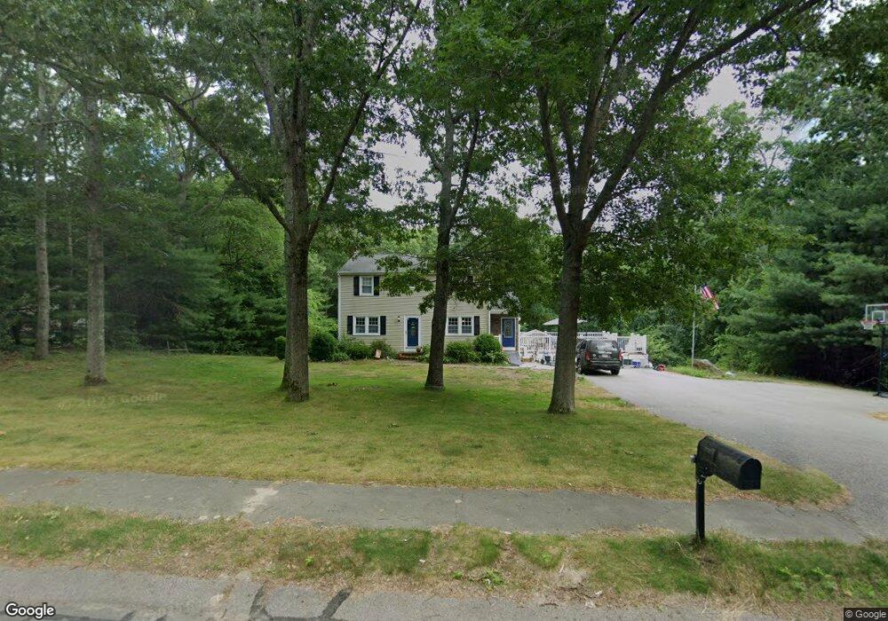
3 Brandeis Cir Halifax, MA 02338
Estimated Value: $600,000 - $634,000
4
Beds
2
Baths
1,968
Sq Ft
$314/Sq Ft
Est. Value
About This Home
This home is located at 3 Brandeis Cir, Halifax, MA 02338 and is currently estimated at $617,417, approximately $313 per square foot. 3 Brandeis Cir is a home located in Plymouth County with nearby schools including Silver Lake Regional High School, Halifax Elementary School, and Silver Lake Regional Middle School.
Ownership History
Date
Name
Owned For
Owner Type
Purchase Details
Closed on
Jun 30, 2009
Sold by
Kelleher Patrick J
Bought by
Olivier Jennifer A and Olivier Jon M
Current Estimated Value
Home Financials for this Owner
Home Financials are based on the most recent Mortgage that was taken out on this home.
Original Mortgage
$288,000
Outstanding Balance
$184,206
Interest Rate
4.92%
Mortgage Type
Purchase Money Mortgage
Estimated Equity
$433,211
Create a Home Valuation Report for This Property
The Home Valuation Report is an in-depth analysis detailing your home's value as well as a comparison with similar homes in the area
Home Values in the Area
Average Home Value in this Area
Purchase History
| Date | Buyer | Sale Price | Title Company |
|---|---|---|---|
| Olivier Jennifer A | $320,000 | -- |
Source: Public Records
Mortgage History
| Date | Status | Borrower | Loan Amount |
|---|---|---|---|
| Open | Olivier Jennifer A | $288,000 | |
| Previous Owner | Olivier Jennifer A | $131,000 | |
| Previous Owner | Olivier Jennifer A | $107,839 |
Source: Public Records
Tax History Compared to Growth
Tax History
| Year | Tax Paid | Tax Assessment Tax Assessment Total Assessment is a certain percentage of the fair market value that is determined by local assessors to be the total taxable value of land and additions on the property. | Land | Improvement |
|---|---|---|---|---|
| 2025 | $6,868 | $481,300 | $200,600 | $280,700 |
| 2024 | $6,673 | $463,400 | $192,900 | $270,500 |
| 2023 | $6,427 | $431,900 | $187,300 | $244,600 |
| 2022 | $6,189 | $386,600 | $167,200 | $219,400 |
| 2021 | $5,979 | $343,800 | $160,800 | $183,000 |
| 2020 | $5,929 | $326,400 | $160,800 | $165,600 |
| 2019 | $5,541 | $317,200 | $156,100 | $161,100 |
| 2018 | $8,118 | $302,000 | $147,300 | $154,700 |
| 2017 | $5,355 | $289,000 | $147,300 | $141,700 |
| 2016 | $5,136 | $266,800 | $137,700 | $129,100 |
| 2015 | $4,962 | $261,300 | $137,700 | $123,600 |
Source: Public Records
Map
Nearby Homes
- 57 Brandeis Cir
- 48 Grove St
- 88 Colby Dr
- 47 Chestnut Rd
- 60 West St
- 43 Buttonwood Rd
- 273 Twin Lakes Dr
- 56 & 60 Prince Way
- 7 Barbara Rd
- 71 Annawon Dr
- 445 Plymouth St
- 32 Little Brook Rd
- 25 Little Brook Rd
- 0 Thompson St
- 9 Montclair Ave
- 26 Redwood Dr
- 151 Plymouth St Unit 151A
- 164 Plymouth St
- 24 Beechwood Rd
- 145 County Rd