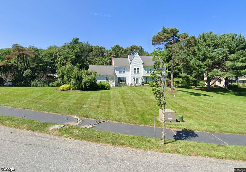
3 Brooks Crossing West Boylston, MA 01583
Estimated Value: $730,000 - $1,090,000
4
Beds
4
Baths
3,054
Sq Ft
$286/Sq Ft
Est. Value
About This Home
This home is located at 3 Brooks Crossing, West Boylston, MA 01583 and is currently estimated at $874,255, approximately $286 per square foot. 3 Brooks Crossing is a home located in Worcester County with nearby schools including Major Edwards Elementary School, West Boylston Junior/Senior High School, and Abby Kelley Foster Charter Public School.
Ownership History
Date
Name
Owned For
Owner Type
Purchase Details
Closed on
Oct 25, 2023
Sold by
Meola Paula A
Bought by
Paula A Meola Ret and Meola
Current Estimated Value
Purchase Details
Closed on
Nov 23, 2010
Sold by
Matysiak Peter H
Bought by
Matysiak Peter H and Meola Paula A
Home Financials for this Owner
Home Financials are based on the most recent Mortgage that was taken out on this home.
Original Mortgage
$322,000
Interest Rate
4.3%
Mortgage Type
Purchase Money Mortgage
Purchase Details
Closed on
Jul 25, 1997
Sold by
Marrone Donald J and Marrone Pamela J
Bought by
Matysiak Peter H
Home Financials for this Owner
Home Financials are based on the most recent Mortgage that was taken out on this home.
Original Mortgage
$274,500
Interest Rate
7.7%
Mortgage Type
Purchase Money Mortgage
Create a Home Valuation Report for This Property
The Home Valuation Report is an in-depth analysis detailing your home's value as well as a comparison with similar homes in the area
Home Values in the Area
Average Home Value in this Area
Purchase History
| Date | Buyer | Sale Price | Title Company |
|---|---|---|---|
| Paula A Meola Ret | -- | None Available | |
| Matysiak Peter H | -- | -- | |
| Matysiak Peter H | $305,000 | -- |
Source: Public Records
Mortgage History
| Date | Status | Borrower | Loan Amount |
|---|---|---|---|
| Previous Owner | Matysiak Peter H | $322,000 | |
| Previous Owner | Matysiak Peter H | $300,000 | |
| Previous Owner | Matysiak Peter H | $240,000 | |
| Previous Owner | Matysiak Peter H | $274,500 |
Source: Public Records
Tax History Compared to Growth
Tax History
| Year | Tax Paid | Tax Assessment Tax Assessment Total Assessment is a certain percentage of the fair market value that is determined by local assessors to be the total taxable value of land and additions on the property. | Land | Improvement |
|---|---|---|---|---|
| 2025 | $111 | $800,500 | $128,800 | $671,700 |
| 2024 | $10,664 | $721,500 | $132,500 | $589,000 |
| 2023 | $10,150 | $651,500 | $130,500 | $521,000 |
| 2022 | $9,729 | $550,300 | $134,100 | $416,200 |
| 2021 | $9,607 | $520,400 | $119,800 | $400,600 |
| 2020 | $9,058 | $487,500 | $123,100 | $364,400 |
| 2019 | $8,807 | $467,200 | $123,100 | $344,100 |
| 2018 | $8,381 | $447,700 | $123,100 | $324,600 |
| 2017 | $8,295 | $441,200 | $123,100 | $318,100 |
| 2016 | $8,168 | $442,700 | $114,600 | $328,100 |
| 2015 | $8,161 | $445,000 | $113,400 | $331,600 |
Source: Public Records
Map
Nearby Homes
- 156 Prospect St
- 39 Davidson Rd
- 47 Preservation Ln
- 21 Wyoming Dr
- 152 Worcester St Unit 8
- 62 Maple St
- 54 Maple St
- 1 Highland Ave
- 15 Lowell Ave
- 93 Winfield Rd
- 83 Stoneleigh Rd
- 26 Townsend Dr
- 39 Meola Ave
- 33 Meola Ave
- 12 Birchbrush Ln
- 1 Juneberry Ln Unit 82
- 33 Isleboro St
- 23 Orono St
- 29 Isleboro St
- 300 Malden St