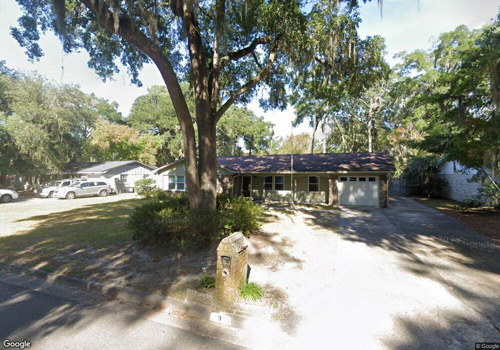
3 Burnt Tree Cir Savannah, GA 31419
Windsor Forest NeighborhoodEstimated Value: $320,327 - $359,000
3
Beds
2
Baths
1,875
Sq Ft
$182/Sq Ft
Est. Value
About This Home
This home is located at 3 Burnt Tree Cir, Savannah, GA 31419 and is currently estimated at $340,582, approximately $181 per square foot. 3 Burnt Tree Cir is a home located in Chatham County with nearby schools including Windsor Forest Elementary School, Windsor Forest High School, and Southwest Middle School.
Ownership History
Date
Name
Owned For
Owner Type
Purchase Details
Closed on
Jun 2, 2014
Sold by
Osborne Mary G
Bought by
Osborne Mary G and Osborne Annette L
Current Estimated Value
Purchase Details
Closed on
Jan 4, 2008
Sold by
Not Provided
Bought by
Osborne Mary G
Purchase Details
Closed on
May 28, 2004
Sold by
Osborne Paul E
Bought by
Osborne Paul E and Osborne Mary G
Create a Home Valuation Report for This Property
The Home Valuation Report is an in-depth analysis detailing your home's value as well as a comparison with similar homes in the area
Home Values in the Area
Average Home Value in this Area
Purchase History
| Date | Buyer | Sale Price | Title Company |
|---|---|---|---|
| Osborne Mary G | -- | -- | |
| Osborne Mary G | -- | -- | |
| Osborne Paul E | -- | -- |
Source: Public Records
Tax History
| Year | Tax Paid | Tax Assessment Tax Assessment Total Assessment is a certain percentage of the fair market value that is determined by local assessors to be the total taxable value of land and additions on the property. | Land | Improvement |
|---|---|---|---|---|
| 2025 | $1,913 | $107,360 | $26,000 | $81,360 |
| 2024 | $1,913 | $100,960 | $26,000 | $74,960 |
| 2023 | $634 | $101,600 | $22,000 | $79,600 |
| 2022 | $1,913 | $79,720 | $14,400 | $65,320 |
| 2021 | $1,870 | $68,160 | $9,600 | $58,560 |
| 2020 | $1,387 | $69,280 | $9,600 | $59,680 |
| 2019 | $2,127 | $69,280 | $9,600 | $59,680 |
| 2018 | $1,712 | $60,280 | $9,600 | $50,680 |
| 2017 | $1,892 | $61,440 | $9,600 | $51,840 |
| 2016 | $1,202 | $60,960 | $9,600 | $51,360 |
| 2015 | $1,290 | $62,320 | $9,600 | $52,720 |
| 2014 | $2,399 | $57,560 | $0 | $0 |
Source: Public Records
Map
Nearby Homes
- 730 Windsor Rd
- 12300 Apache Ave Unit 1105
- 12300 Apache Ave Unit 208
- 12300 Apache Ave Unit 1712
- 12300 Apache Ave Unit 1106
- 12300 Apache Ave Unit 1510
- 12300 Apache Ave Unit 803
- 12300 Apache Ave Unit 1122
- 12300 Apache Ave Unit 213
- 12300 Apache Ave Unit 804
- 12300 Apache Ave Unit 224
- 12300 Apache Ave Unit 704
- 5 Birchwood Cove
- 21 Canterbury Cir
- 23 Canterbury Cir
- 12608 Largo Dr
- 12502 Apache Ave Unit 38
- 12502 Apache Ave Unit 13
- 12502 Apache Ave Unit 34
- 627 Northbrook Rd
- 4 Burnt Tree Cir
- 2 Burnt Tree Cir
- 12 Burnt Tree Cir
- 5 Burnt Tree Cir
- 13 Burnt Tree Cir
- 9 Burnt Tree Rd
- 14 Burnt Tree Cir
- 11 Burnt Tree Rd
- 11 Burnt Tree Cir
- 1713 Stillwood Dr
- 1711 Stillwood Dr
- 7 Burnt Tree Rd
- 6 Burnt Tree Cir
- 1709 Stillwood Dr
- 13 Burnt Tree Rd
- 13 Burnt Tree Rd
- 10 Burnt Tree Cir
- 8 Burnt Tree Cir
- 9 Burnt Tree Cir
- 22 Windsor On the Marsh
Your Personal Tour Guide
Ask me questions while you tour the home.