3 Davis Rd Sanbornton, NH 03269
Sanbornton NeighborhoodEstimated Value: $510,000 - $618,000
3
Beds
2
Baths
2,004
Sq Ft
$278/Sq Ft
Est. Value
About This Home
This home is located at 3 Davis Rd, Sanbornton, NH 03269 and is currently estimated at $556,773, approximately $277 per square foot. 3 Davis Rd is a home located in Belknap County with nearby schools including Sanbornton Central School, Winnisquam Regional Middle School, and Winnisquam Regional High School.
Ownership History
Date
Name
Owned For
Owner Type
Purchase Details
Closed on
Jun 29, 2020
Sold by
Breton Ft
Bought by
Morrissette Jaosn and Morrissette Shannon
Current Estimated Value
Home Financials for this Owner
Home Financials are based on the most recent Mortgage that was taken out on this home.
Original Mortgage
$220,800
Outstanding Balance
$196,154
Interest Rate
3.2%
Mortgage Type
Purchase Money Mortgage
Estimated Equity
$360,619
Create a Home Valuation Report for This Property
The Home Valuation Report is an in-depth analysis detailing your home's value as well as a comparison with similar homes in the area
Home Values in the Area
Average Home Value in this Area
Purchase History
| Date | Buyer | Sale Price | Title Company |
|---|---|---|---|
| Morrissette Jaosn | $276,000 | None Available |
Source: Public Records
Mortgage History
| Date | Status | Borrower | Loan Amount |
|---|---|---|---|
| Open | Morrissette Jaosn | $220,800 |
Source: Public Records
Tax History Compared to Growth
Tax History
| Year | Tax Paid | Tax Assessment Tax Assessment Total Assessment is a certain percentage of the fair market value that is determined by local assessors to be the total taxable value of land and additions on the property. | Land | Improvement |
|---|---|---|---|---|
| 2024 | $6,267 | $489,200 | $184,200 | $305,000 |
| 2023 | $5,847 | $485,600 | $184,200 | $301,400 |
| 2022 | $5,544 | $279,000 | $106,100 | $172,900 |
| 2021 | $5,128 | $279,000 | $106,100 | $172,900 |
| 2020 | $5,630 | $279,000 | $106,100 | $172,900 |
| 2019 | $5,362 | $279,000 | $106,100 | $172,900 |
| 2018 | $5,390 | $279,000 | $106,100 | $172,900 |
| 2017 | $4,984 | $210,900 | $71,100 | $139,800 |
| 2016 | $4,984 | $210,900 | $71,100 | $139,800 |
| 2015 | $5,064 | $210,900 | $71,100 | $139,800 |
| 2014 | $4,844 | $210,900 | $71,100 | $139,800 |
| 2013 | $4,794 | $208,700 | $71,100 | $137,600 |
Source: Public Records
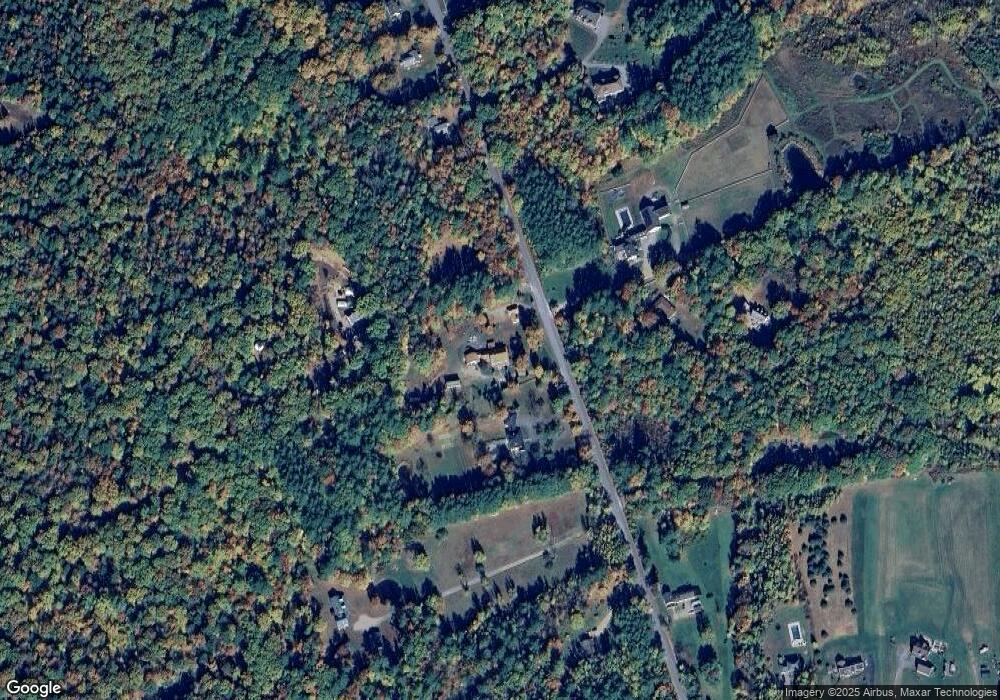
Map
Nearby Homes
- 118 Upper Bay Rd
- 92 Leavitt Rd
- 130 Upper Smith Rd
- 100 Lower Bay Rd
- 11 Penny Ln
- 11-1 Knotty Way
- US Rt3 Daniel Webster Hwy
- 0 Black Brook Rd Unit 5063655
- 100 Cram Rd
- 32 Eastman Shore Rd S
- 36 New Rd
- 11-4 Knotty Way
- 16 Birchwood Way
- 58 Shore Dr
- 13 Courtesy Ave
- 10 Courtesy Ave
- 1480 Old North Main St Unit 6
- 1480 Old N Main St Unit 14
- 82 Sunset Dr
- 1420 Old North Main St
- 236 Upper Bay Rd
- 258 Upper Bay Rd
- 229 Upper Bay Rd
- 21 Davis Rd
- 270 Upper Bay Rd
- 221 Upper Bay Rd
- 222 Upper Bay Rd
- 282 Upper Bay Rd
- Lot 115.1 Upper Bay Rd
- 12 Davis Rd
- 12 Davis Rd Unit 116, 116-1, 116-2
- 8 Collieson Rd
- 232 Upper Bay Rd
- 26 Collieson Rd
- 290 Upper Bay Rd
- 291 Upper Bay Rd
- 291 Upper Bay Rd
- 291 Upper Bay Rd Unit B
- 291 Upper Bay Rd Unit A
- 291 Upper Bay Rd