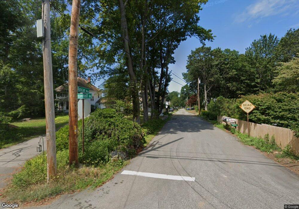
3 Duncan Way Kittery Point, ME 03905
Kittery Point NeighborhoodEstimated Value: $668,000 - $1,092,000
3
Beds
2
Baths
1,959
Sq Ft
$452/Sq Ft
Est. Value
About This Home
This home is located at 3 Duncan Way, Kittery Point, ME 03905 and is currently estimated at $886,204, approximately $452 per square foot. 3 Duncan Way is a home with nearby schools including Horace Mitchell Primary School, Shapleigh School, and Robert W Traip Academy.
Ownership History
Date
Name
Owned For
Owner Type
Purchase Details
Closed on
Oct 8, 2008
Sold by
Strelke Kim R
Bought by
Ek Gunnar and Ek Solveig B
Current Estimated Value
Home Financials for this Owner
Home Financials are based on the most recent Mortgage that was taken out on this home.
Original Mortgage
$200,000
Outstanding Balance
$132,996
Interest Rate
6.43%
Mortgage Type
Unknown
Estimated Equity
$753,208
Purchase Details
Closed on
Mar 6, 2006
Sold by
Strelke George B
Bought by
Strelke Kim R
Create a Home Valuation Report for This Property
The Home Valuation Report is an in-depth analysis detailing your home's value as well as a comparison with similar homes in the area
Home Values in the Area
Average Home Value in this Area
Purchase History
| Date | Buyer | Sale Price | Title Company |
|---|---|---|---|
| Ek Gunnar | -- | -- | |
| Strelke Kim R | -- | -- | |
| Strelke Kim R | -- | -- | |
| Strelke George B | -- | -- | |
| Strelke Kim R | -- | -- |
Source: Public Records
Mortgage History
| Date | Status | Borrower | Loan Amount |
|---|---|---|---|
| Open | Strelke George B | $200,000 |
Source: Public Records
Tax History Compared to Growth
Tax History
| Year | Tax Paid | Tax Assessment Tax Assessment Total Assessment is a certain percentage of the fair market value that is determined by local assessors to be the total taxable value of land and additions on the property. | Land | Improvement |
|---|---|---|---|---|
| 2024 | $6,377 | $449,100 | $232,700 | $216,400 |
| 2023 | $6,112 | $449,100 | $232,700 | $216,400 |
| 2022 | $6,031 | $447,400 | $232,700 | $214,700 |
| 2021 | $5,816 | $447,400 | $232,700 | $214,700 |
| 2020 | $6,771 | $524,900 | $310,200 | $214,700 |
| 2019 | $1,711 | $275,800 | $94,900 | $180,900 |
| 2018 | $1,870 | $275,800 | $94,900 | $180,900 |
| 2017 | $2,451 | $275,800 | $94,900 | $180,900 |
| 2016 | $4,380 | $272,900 | $94,900 | $178,000 |
| 2015 | $4,276 | $272,900 | $94,900 | $178,000 |
| 2014 | $4,235 | $272,900 | $94,900 | $178,000 |
| 2013 | $4,138 | $271,900 | $94,900 | $177,000 |
Source: Public Records
Map
Nearby Homes
- 205 Whipple Rd
- 72 Pepperrell Rd
- 12 Gillis Dr Unit 3
- 17 Elm Ct
- 15 Atkinson St
- 116 Whipple Rd
- 14 Colonial Ln
- 24 Seabreeze Ln
- 132 Pepperrell Rd
- 175 Wentworth Rd
- 15 Foyes Ln
- 18 Mainmast Cir
- 58 Foyes Ln
- 10-12 Pine St
- 57 Old Bay Rd
- 8 Spruce Point Rd
- 39 Tenney Hill Rd
- 165 Rogers Rd
- 167 Little Harbor Rd
- 163 Little Harbor Rd
- 1 Pepperrell Rd
- 5 Pepperrell Rd
- 5 Duncan Way
- 6 Pepperrell Rd
- 8 Pepperrell Rd
- 4 Duncan Way
- 12 Pepperrell Rd
- 7 Pepperrell Rd
- 7 Duncan Way
- 14 Pepperrell Rd
- 9 Duncan Way
- 4 Pepperrell Rd
- 2 Pepperrell Rd
- 10 Pepperrell Rd
- 9 Pepperrell Rd
- 15 Pepperrell Rd
- 11 Duncan Way
- 16 Pepperrell Rd
- 17 Pepperrell Rd
- 18 Pepperrell Rd