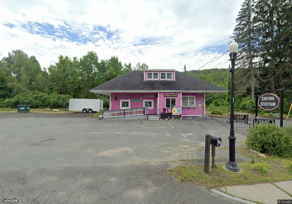
3 E Main St Erving, MA 01344
Estimated Value: $320,610
Studio
2
Baths
928
Sq Ft
$345/Sq Ft
Est. Value
About This Home
This home is located at 3 E Main St, Erving, MA 01344 and is currently estimated at $320,610, approximately $345 per square foot. 3 E Main St is a home located in Franklin County with nearby schools including Erving Elementary School and Kemsley Academy.
Ownership History
Date
Name
Owned For
Owner Type
Purchase Details
Closed on
Jul 11, 2017
Sold by
Charbonneau Norma and Zukas Karen
Bought by
Erving Station Llc
Current Estimated Value
Purchase Details
Closed on
Jan 6, 2014
Sold by
Charbonneau Norma I
Bought by
Charbonneau Norma I and Zukas Karen
Purchase Details
Closed on
Feb 19, 2009
Sold by
Faneuf Edward
Bought by
Charbonneau Norma I and Bumpus Barbara
Purchase Details
Closed on
Oct 17, 2006
Sold by
Bumpus Barbara A
Bought by
Faneuf Edward
Home Financials for this Owner
Home Financials are based on the most recent Mortgage that was taken out on this home.
Original Mortgage
$165,000
Interest Rate
6.47%
Mortgage Type
Commercial
Purchase Details
Closed on
Oct 13, 1995
Sold by
Richards Charles B and Richards Joanne I
Bought by
Bumpus Barbara A and Charbonneau Norma I
Create a Home Valuation Report for This Property
The Home Valuation Report is an in-depth analysis detailing your home's value as well as a comparison with similar homes in the area
Home Values in the Area
Average Home Value in this Area
Purchase History
| Date | Buyer | Sale Price | Title Company |
|---|---|---|---|
| Erving Station Llc | $190,000 | -- | |
| Charbonneau Norma I | -- | -- | |
| Charbonneau Norma I | -- | -- | |
| Charbonneau Norma I | -- | -- | |
| Charbonneau Norma I | -- | -- | |
| Faneuf Edward | $200,000 | -- | |
| Faneuf Edward | $200,000 | -- | |
| Bumpus Barbara A | $22,500 | -- |
Source: Public Records
Mortgage History
| Date | Status | Borrower | Loan Amount |
|---|---|---|---|
| Previous Owner | Faneuf Edward | $165,000 |
Source: Public Records
Tax History
| Year | Tax Paid | Tax Assessment Tax Assessment Total Assessment is a certain percentage of the fair market value that is determined by local assessors to be the total taxable value of land and additions on the property. | Land | Improvement |
|---|---|---|---|---|
| 2025 | $2,491 | $159,700 | $71,400 | $88,300 |
| 2024 | $2,362 | $154,000 | $71,400 | $82,600 |
| 2023 | $2,024 | $154,000 | $71,400 | $82,600 |
| 2022 | $1,987 | $153,800 | $71,400 | $82,400 |
| 2021 | $1,858 | $150,200 | $71,400 | $78,800 |
| 2020 | $1,827 | $149,300 | $68,100 | $81,200 |
| 2019 | $1,781 | $149,300 | $68,100 | $81,200 |
| 2018 | $1,704 | $146,500 | $69,400 | $77,100 |
| 2017 | $1,657 | $146,500 | $69,400 | $77,100 |
| 2016 | $1,610 | $146,500 | $69,400 | $77,100 |
| 2015 | $2,079 | $145,200 | $72,200 | $73,000 |
Source: Public Records
Map
Nearby Homes
- 10 W Main St
- 0 State Rd Lot 0
- 10 E Prospect St
- 62 E Main St
- 0 Old Farley Rd
- 270 Wendell Depot Rd
- 351 Farley Rd
- 13 Maple Ave
- 44 Moss Brook Rd
- 0 State Rd
- 0 Wendell Depot Rd
- 30 Stone Valley Rd
- 28 Morse Village Rd
- 0 Four Mile Brook Rd Unit 73462497
- 216 Holtshire Rd
- 246 Holtshire Rd Unit Lot 3
- 222 W River St
- 56 Shelter St
- 166-168 W Main St
- 30 Cottage St
Your Personal Tour Guide
Ask me questions while you tour the home.