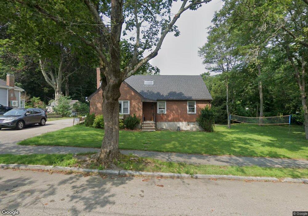
3 Frederick St Quincy, MA 02169
Estimated Value: $754,424 - $816,000
4
Beds
3
Baths
1,684
Sq Ft
$471/Sq Ft
Est. Value
About This Home
This home is located at 3 Frederick St, Quincy, MA 02169 and is currently estimated at $793,856, approximately $471 per square foot. 3 Frederick St is a home located in Norfolk County with nearby schools including South West Middle School, Lincoln-Hancock Community School, and Quincy High School.
Ownership History
Date
Name
Owned For
Owner Type
Purchase Details
Closed on
Sep 27, 2006
Sold by
Garity Kevin R and Garity Margaret M
Bought by
Huk Motria N
Current Estimated Value
Home Financials for this Owner
Home Financials are based on the most recent Mortgage that was taken out on this home.
Original Mortgage
$368,000
Outstanding Balance
$220,320
Interest Rate
6.52%
Mortgage Type
Purchase Money Mortgage
Estimated Equity
$573,536
Create a Home Valuation Report for This Property
The Home Valuation Report is an in-depth analysis detailing your home's value as well as a comparison with similar homes in the area
Purchase History
| Date | Buyer | Sale Price | Title Company |
|---|---|---|---|
| Huk Motria N | $456,500 | -- |
Source: Public Records
Mortgage History
| Date | Status | Borrower | Loan Amount |
|---|---|---|---|
| Open | Huk Motria N | $368,000 |
Source: Public Records
Tax History
| Year | Tax Paid | Tax Assessment Tax Assessment Total Assessment is a certain percentage of the fair market value that is determined by local assessors to be the total taxable value of land and additions on the property. | Land | Improvement |
|---|---|---|---|---|
| 2025 | $7,931 | $687,900 | $319,100 | $368,800 |
| 2024 | $7,733 | $686,200 | $304,300 | $381,900 |
| 2023 | $7,201 | $647,000 | $290,200 | $356,800 |
| 2022 | $7,020 | $586,000 | $233,500 | $352,500 |
| 2021 | $6,643 | $547,200 | $233,500 | $313,700 |
| 2020 | $6,789 | $546,200 | $233,500 | $312,700 |
| 2019 | $6,301 | $502,100 | $227,000 | $275,100 |
| 2018 | $6,337 | $475,000 | $210,700 | $264,300 |
| 2017 | $6,024 | $425,100 | $201,000 | $224,100 |
| 2016 | $5,618 | $391,200 | $183,400 | $207,800 |
| 2015 | $5,319 | $364,300 | $173,400 | $190,900 |
| 2014 | $5,162 | $347,400 | $173,400 | $174,000 |
Source: Public Records
Map
Nearby Homes
- 211 West St Unit 11B
- 510 Willard St
- 459 Willard St Unit 303
- 9 Westford St
- 25 McDonald St
- 211 Copeland St
- 87 Village Dr
- 39 Cross St
- 40 Cross St Unit 1
- 132 Centre St
- 51 Branch St Unit 2
- 51 Branch St Unit 3
- 230 Willard St Unit 102
- 12 Nelson St
- 21 Arthur St
- 91 Garfield St
- 21 Totman St Unit 205
- 21 Totman St Unit 404
- 21 Totman St Unit 309
- 21 Totman St Unit 409
- 9 Frederick St
- 15 Frederick St
- 10 Frederick St
- 16 Frederick St
- 4 Frederick St
- 106 Bunker Hill Ln
- 110 Bunker Hill Ln
- 22 Frederick St
- 15 Helene St
- 9 Helene St
- 23 Helene St
- 114 Bunker Hill Ln
- 5 Helene St
- 1485 Furnace Brook Pkwy
- 1487 Furnace Brook Pkwy
- 124 Bunker Hill Ln
- 1475 Furnace Brook Pkwy
- 107 Bunker Hill Ln
- 23 Adele Rd
- 1493 Furnace Brook Pkwy
Your Personal Tour Guide
Ask me questions while you tour the home.