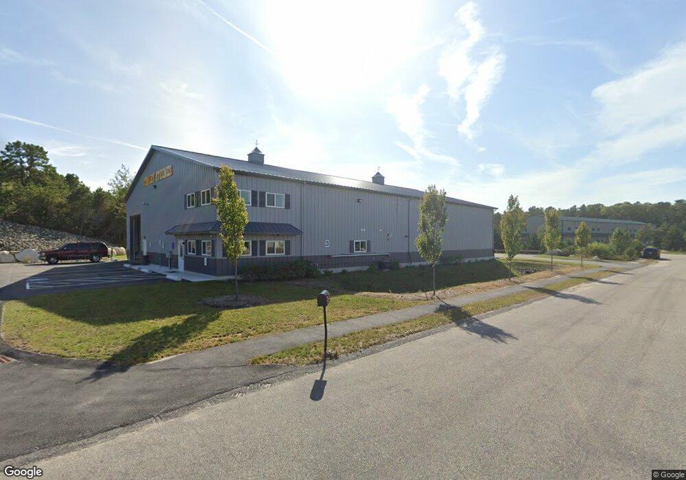
3 Katie Marie Dr Bourne, MA 2532
Pocasset Neighborhood
Studio
--
Bath
7,920
Sq Ft
40,511
Sq Ft Lot
About This Home
This home is located at 3 Katie Marie Dr, Bourne, MA 2532. 3 Katie Marie Dr is a home located in Barnstable County with nearby schools including Bourne High School, Cadence Academy Preschool - Bourne, and St Margaret Regional School.
Ownership History
Date
Name
Owned For
Owner Type
Purchase Details
Closed on
Sep 21, 2017
Sold by
Prevett Richard
Bought by
Blue Fields Property L
Home Financials for this Owner
Home Financials are based on the most recent Mortgage that was taken out on this home.
Original Mortgage
$600,000
Outstanding Balance
$499,841
Interest Rate
3.9%
Mortgage Type
Purchase Money Mortgage
Purchase Details
Closed on
Mar 14, 2013
Sold by
Hol Kov Inc
Bought by
Prevett Richard
Purchase Details
Closed on
Sep 15, 2005
Sold by
Old Centre Homes Inc
Bought by
Hol-Kov Inc
Purchase Details
Closed on
Dec 15, 2004
Sold by
Macarthur Technology P
Bought by
Dexter
Home Financials for this Owner
Home Financials are based on the most recent Mortgage that was taken out on this home.
Original Mortgage
$250,000
Interest Rate
5.68%
Mortgage Type
Purchase Money Mortgage
Create a Home Valuation Report for This Property
The Home Valuation Report is an in-depth analysis detailing your home's value as well as a comparison with similar homes in the area
Home Values in the Area
Average Home Value in this Area
Purchase History
| Date | Buyer | Sale Price | Title Company |
|---|---|---|---|
| Blue Fields Property L | $340,000 | -- | |
| Prevett Richard | $145,000 | -- | |
| Prevett Richard | $145,000 | -- | |
| Prevett Richard | $145,000 | -- | |
| Hol-Kov Inc | $400,000 | -- | |
| Hol-Kov Inc | $400,000 | -- | |
| Dexter | $385,000 | -- | |
| Dexter | $385,000 | -- |
Source: Public Records
Mortgage History
| Date | Status | Borrower | Loan Amount |
|---|---|---|---|
| Open | Blue Fields Property L | $600,000 | |
| Previous Owner | Dexter | $250,000 | |
| Closed | Prevett Richard | $0 |
Source: Public Records
Tax History
| Year | Tax Paid | Tax Assessment Tax Assessment Total Assessment is a certain percentage of the fair market value that is determined by local assessors to be the total taxable value of land and additions on the property. | Land | Improvement |
|---|---|---|---|---|
| 2025 | $7,288 | $933,200 | $458,200 | $475,000 |
| 2024 | $7,163 | $893,200 | $436,400 | $456,800 |
| 2023 | $7,252 | $823,100 | $419,600 | $403,500 |
| 2022 | $7,623 | $755,500 | $394,500 | $361,000 |
| 2021 | $7,922 | $735,600 | $383,000 | $352,600 |
| 2020 | $7,799 | $726,200 | $375,500 | $350,700 |
| 2019 | $7,471 | $710,800 | $368,200 | $342,600 |
| 2018 | $3,731 | $354,000 | $354,000 | $0 |
| 2017 | $3,609 | $350,400 | $350,400 | $0 |
| 2016 | $3,560 | $350,400 | $350,400 | $0 |
| 2015 | $3,529 | $350,400 | $350,400 | $0 |
Source: Public Records
Map
Nearby Homes
- 20 Colony Ave
- 5 Harbor Hill Dr
- 4 Harbor Hill Dr
- 16 Amberwood Ct
- 3 1st St
- 7 4th Ave
- 3 4th Ave
- 709 County Rd
- 12 Turnberry Rd Unit 12
- 4 Hollyhock Knoll Ct Unit 4
- 4 Hollyhock Knoll Ct Unit 4
- 203 County Rd
- 566 Shore Rd
- 2 Applewood Ct
- 254 Barlows Landing Rd
- 5 Sea Knoll Ct
- 16 Michael Rd
- 13 Laurel Hill Ct
- 14 Navajo Rd
- 5 Zoli Ln
- 3 Katie Marie Dr
- Lot 2 Katie Marie Dr
- 4 Katie Marie Dr
- 4 Henry Dr
- 2 Henry Dr
- 1 Katie Marie Dr
- 5 Katie Marie Dr Unit 5
- 5 Katie Marie Dr Unit 6
- 5 Katie Marie Dr
- 2 Katie Marie Dr
- 6 Katie Marie Dr
- 470 Macarthur Blvd
- 1 Henry Dr
- 2 Jonathan Bourne Dr
- 6 Marjorie
- 3 Henry Dr
- 568 Mac Arthur Blvd
- 560 Mac Arthur Blvd
- 16 Jonathan Bourne Dr
- 5 Otis Park Dr
Your Personal Tour Guide
Ask me questions while you tour the home.