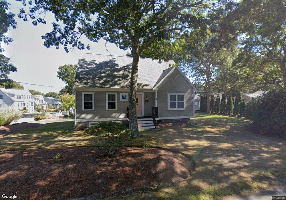
3 Menemsha Rd Mashpee, MA 02649
Popponesset NeighborhoodEstimated Value: $1,354,437 - $1,441,000
4
Beds
4
Baths
1,949
Sq Ft
$720/Sq Ft
Est. Value
About This Home
This home is located at 3 Menemsha Rd, Mashpee, MA 02649 and is currently estimated at $1,404,109, approximately $720 per square foot. 3 Menemsha Rd is a home located in Barnstable County with nearby schools including Kenneth C. Coombs School, Quashnet School, and Mashpee Middle School.
Ownership History
Date
Name
Owned For
Owner Type
Purchase Details
Closed on
Jun 30, 2020
Sold by
Tynan John W
Bought by
John W Tynan T
Current Estimated Value
Create a Home Valuation Report for This Property
The Home Valuation Report is an in-depth analysis detailing your home's value as well as a comparison with similar homes in the area
Home Values in the Area
Average Home Value in this Area
Purchase History
| Date | Buyer | Sale Price | Title Company |
|---|---|---|---|
| John W Tynan T | -- | None Available |
Source: Public Records
Tax History
| Year | Tax Paid | Tax Assessment Tax Assessment Total Assessment is a certain percentage of the fair market value that is determined by local assessors to be the total taxable value of land and additions on the property. | Land | Improvement |
|---|---|---|---|---|
| 2025 | $7,996 | $1,207,800 | $814,200 | $393,600 |
| 2024 | $7,174 | $1,115,700 | $740,300 | $375,400 |
| 2023 | $7,104 | $1,013,400 | $704,900 | $308,500 |
| 2022 | $6,775 | $829,200 | $573,100 | $256,100 |
| 2021 | $6,718 | $740,700 | $516,300 | $224,400 |
| 2020 | $6,503 | $715,400 | $496,500 | $218,900 |
| 2019 | $6,355 | $702,200 | $496,500 | $205,700 |
| 2018 | $6,156 | $690,100 | $496,500 | $193,600 |
| 2017 | $5,671 | $617,100 | $441,300 | $175,800 |
| 2016 | $5,099 | $551,800 | $386,200 | $165,600 |
| 2015 | $4,612 | $506,300 | $347,600 | $158,700 |
| 2014 | $4,613 | $491,300 | $333,000 | $158,300 |
Source: Public Records
Map
Nearby Homes
- 42 Kim Path
- 251 Shore Dr Unit C2
- 251 Shore Dr Unit B1
- 251 Shore Dr Unit D1
- 251 Shore Dr Unit D1
- 251 Shore Dr Unit B1
- 251 Shore Dr Unit C2
- 37 The Hunt Cir
- 101 Greensward Rd
- 3 Hyannis Point Rd Unit 790
- 3 Hyannis Point Rd
- 14 Hammock Pond Rd Unit 789
- 6 Hammock Pond Rd
- 6 Hammock Pond Rd Unit 6
- 15 Brant Rock Rd Unit 765
- 21 Saltwater Cir
- 5 Hydrangea Ln Unit 782
- 33 Landmark Ave
- 21 Milestone Way Unit 620
- 4 Hyannis Point Rd Unit 4
- 7 Menemsha Rd
- 2 Menemsha Rd
- 25 Nashawena Rd
- 14 Elizabeth Island Rd
- 18 Elizabeth Island Rd
- 6 Menemsha Rd
- 11 Menemsha Rd
- 21 Nashawena Rd
- 22 Elizabeth Island Rd
- 10 Menemsha Rd
- 8 Elizabeth Island Rd
- 170 Uncle Percy's Rd
- 15 Menemsha Rd
- 15 Elizabeth Island Rd
- 5 Forest Rd
- 5 Forest Rd Unit 5
- 164 Uncle Percys Dr
- 164 Uncle Percy's Rd
- 1 Forest Rd
- 170 Uncle Percys Dr
Your Personal Tour Guide
Ask me questions while you tour the home.