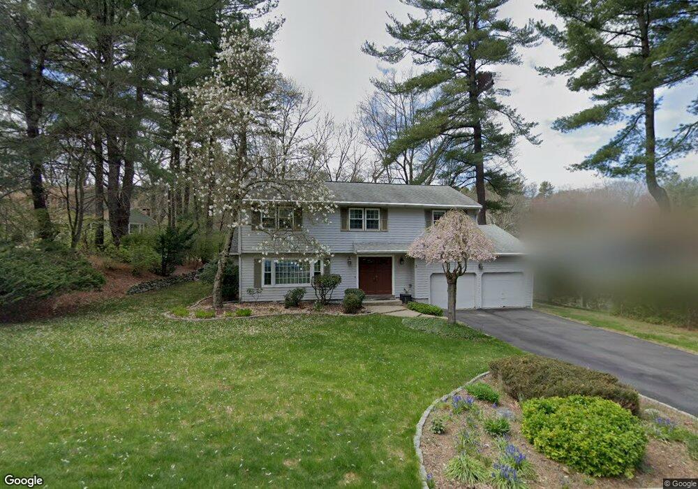
3 Murphy Cir Framingham, MA 01701
Nobscot NeighborhoodEstimated Value: $790,112 - $947,000
4
Beds
3
Baths
2,280
Sq Ft
$373/Sq Ft
Est. Value
About This Home
This home is located at 3 Murphy Cir, Framingham, MA 01701 and is currently estimated at $851,028, approximately $373 per square foot. 3 Murphy Cir is a home located in Middlesex County with nearby schools including Framingham High School and Sudbury Valley School.
Ownership History
Date
Name
Owned For
Owner Type
Purchase Details
Closed on
Dec 18, 2008
Sold by
Lally Eric P and Lally Stacey A
Bought by
Gruetzke Catherine M and Blais Stephane
Current Estimated Value
Home Financials for this Owner
Home Financials are based on the most recent Mortgage that was taken out on this home.
Original Mortgage
$409,900
Interest Rate
6.27%
Mortgage Type
Purchase Money Mortgage
Purchase Details
Closed on
Jul 28, 2004
Sold by
Ward Christine A
Bought by
Lally Eric P and Lally Stacey A
Purchase Details
Closed on
Aug 27, 1991
Sold by
Mcinerney Joseph A and Mcinerney Ruth M
Bought by
Ward Kevin A and Ward Christine A
Create a Home Valuation Report for This Property
The Home Valuation Report is an in-depth analysis detailing your home's value as well as a comparison with similar homes in the area
Home Values in the Area
Average Home Value in this Area
Purchase History
| Date | Buyer | Sale Price | Title Company |
|---|---|---|---|
| Gruetzke Catherine M | $459,900 | -- | |
| Gruetzke Catherine M | $459,900 | -- | |
| Lally Eric P | $432,500 | -- | |
| Lally Eric P | $432,500 | -- | |
| Ward Kevin A | $248,000 | -- | |
| Ward Kevin A | $248,000 | -- |
Source: Public Records
Mortgage History
| Date | Status | Borrower | Loan Amount |
|---|---|---|---|
| Open | Ward Kevin A | $408,000 | |
| Closed | Gruetzke Catherine M | $409,900 |
Source: Public Records
Tax History
| Year | Tax Paid | Tax Assessment Tax Assessment Total Assessment is a certain percentage of the fair market value that is determined by local assessors to be the total taxable value of land and additions on the property. | Land | Improvement |
|---|---|---|---|---|
| 2025 | $8,198 | $686,600 | $272,500 | $414,100 |
| 2024 | $7,982 | $640,600 | $243,400 | $397,200 |
| 2023 | $7,694 | $587,800 | $217,200 | $370,600 |
| 2022 | $7,348 | $534,800 | $197,100 | $337,700 |
| 2021 | $7,158 | $509,500 | $189,500 | $320,000 |
| 2020 | $7,289 | $486,600 | $172,200 | $314,400 |
| 2019 | $7,347 | $477,700 | $172,200 | $305,500 |
| 2018 | $7,352 | $450,500 | $165,800 | $284,700 |
| 2017 | $7,307 | $437,300 | $160,900 | $276,400 |
| 2016 | $7,277 | $418,700 | $160,900 | $257,800 |
| 2015 | $7,802 | $437,800 | $161,300 | $276,500 |
Source: Public Records
Map
Nearby Homes
- 32 Eaton Rd W
- 9 Lands End Ln
- 32 Old Framingham Rd Unit 41
- 30 Nobscot Rd Unit 1
- 10 Rolling Ln
- 472 Potter Rd
- 17 Oakvale Rd
- 53 Davidson Rd
- 23 Alta Rd
- 10 Wright Rd
- 7 Bayberry Ln
- 173 Nobscot Rd
- 16 Bayberry Ln
- 915 Edgell Rd Unit 61
- 0 Wagonwheel Rd
- 15 Adams Rd
- 1011 Boston Post Rd
- 25 Adams Rd
- 11 Edith Rd
- 87 Landham Rd
Your Personal Tour Guide
Ask me questions while you tour the home.