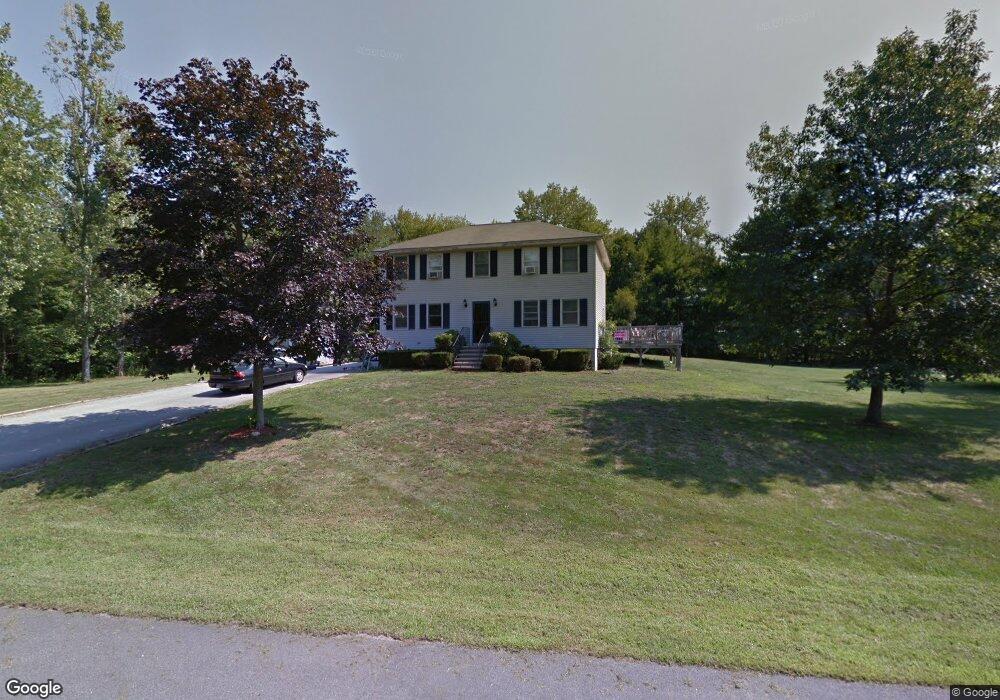
3 Picadilly Cir Londonderry, NH 03053
Estimated Value: $596,000 - $656,000
4
Beds
2
Baths
1,824
Sq Ft
$341/Sq Ft
Est. Value
About This Home
This home is located at 3 Picadilly Cir, Londonderry, NH 03053 and is currently estimated at $621,255, approximately $340 per square foot. 3 Picadilly Cir is a home with nearby schools including North Londonderry Elementary School, Londonderry Middle School, and Londonderry Senior High School.
Ownership History
Date
Name
Owned For
Owner Type
Purchase Details
Closed on
Aug 28, 2002
Sold by
Vanhorn David J
Bought by
Fairweather Paula K and Fairweather Ronald P
Current Estimated Value
Home Financials for this Owner
Home Financials are based on the most recent Mortgage that was taken out on this home.
Original Mortgage
$241,670
Interest Rate
6.55%
Create a Home Valuation Report for This Property
The Home Valuation Report is an in-depth analysis detailing your home's value as well as a comparison with similar homes in the area
Home Values in the Area
Average Home Value in this Area
Purchase History
| Date | Buyer | Sale Price | Title Company |
|---|---|---|---|
| Fairweather Paula K | $263,000 | -- |
Source: Public Records
Mortgage History
| Date | Status | Borrower | Loan Amount |
|---|---|---|---|
| Open | Fairweather Paula K | $194,488 | |
| Closed | Fairweather Paula K | $241,670 |
Source: Public Records
Tax History Compared to Growth
Tax History
| Year | Tax Paid | Tax Assessment Tax Assessment Total Assessment is a certain percentage of the fair market value that is determined by local assessors to be the total taxable value of land and additions on the property. | Land | Improvement |
|---|---|---|---|---|
| 2024 | $7,784 | $482,300 | $201,400 | $280,900 |
| 2023 | $7,578 | $484,200 | $201,400 | $282,800 |
| 2022 | $7,002 | $378,900 | $151,000 | $227,900 |
| 2021 | $6,964 | $378,900 | $151,000 | $227,900 |
| 2020 | $6,998 | $348,000 | $121,900 | $226,100 |
| 2019 | $6,748 | $348,000 | $121,900 | $226,100 |
| 2018 | $6,119 | $280,700 | $101,000 | $179,700 |
| 2017 | $6,066 | $280,700 | $101,000 | $179,700 |
| 2016 | $6,035 | $280,700 | $101,000 | $179,700 |
| 2015 | $5,900 | $280,700 | $101,000 | $179,700 |
| 2014 | $5,920 | $280,700 | $101,000 | $179,700 |
| 2011 | -- | $281,600 | $101,000 | $180,600 |
Source: Public Records
Map
Nearby Homes
- 15 Harvey Rd
- 35 Red Deer Rd
- 224 High Range Rd
- 27 Buckingham Dr
- 8 Iroquois Cir
- 193 Fieldstone Dr
- 193 Fieldstone Dr Unit 193
- 169 Fieldstone Dr
- 118 Fieldstone Dr Unit 118
- 5 Hickory Hill Dr
- 28 Barksdale Ave
- 17 Welch Rd
- 15 Tamarack Ct
- 8 Barksdale Ave
- 67 Pullman St
- 29 Watts Landing Unit 24
- 11 Elise Ave Unit Lot 91
- 53 Pine Ave
- 38 Bartley Hill Rd
- 32 Noyes Rd
- 1 Picadilly Cir
- 4 Picadilly Cir
- 299 High Range Rd
- 5 Picadilly Cir
- 301 High Range Rd
- 297 High Range Rd
- 2 Picadilly Cir
- 1 Coventry Ln
- 6 Picadilly Cir
- 4 Coventry Ln
- 295 High Range Rd
- 3 Coventry Ln
- 280 High Range Rd
- 282 High Range Rd
- 6 Coventry Ln
- 293 High Range Rd
- 2 Coventry Ln
- 278 High Range Rd
- 5 Coventry Ln
- 21 Kimball Rd