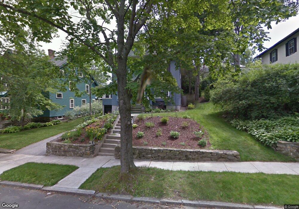
3 Roseland Rd Worcester, MA 01609
Forest Grove NeighborhoodEstimated Value: $545,111 - $633,000
4
Beds
2
Baths
1,990
Sq Ft
$296/Sq Ft
Est. Value
About This Home
This home is located at 3 Roseland Rd, Worcester, MA 01609 and is currently estimated at $588,528, approximately $295 per square foot. 3 Roseland Rd is a home located in Worcester County with nearby schools including Nelson Place Elementary School, Jacob Hiatt Magnet School, and Chandler Magnet.
Ownership History
Date
Name
Owned For
Owner Type
Purchase Details
Closed on
Feb 7, 2024
Sold by
Simmons Michael
Bought by
Simmons Michael and Agana Hortencia B
Current Estimated Value
Purchase Details
Closed on
Jul 9, 2020
Sold by
Simmons Michael
Bought by
Agana Hortencia B
Purchase Details
Closed on
Jul 28, 2006
Sold by
Follansbee James L
Bought by
Simmons Michael C
Home Financials for this Owner
Home Financials are based on the most recent Mortgage that was taken out on this home.
Original Mortgage
$290,400
Interest Rate
6.67%
Mortgage Type
Purchase Money Mortgage
Purchase Details
Closed on
Aug 6, 2001
Sold by
Henrich Gary P
Bought by
Follansbee James L and Follansbee Sandi J
Home Financials for this Owner
Home Financials are based on the most recent Mortgage that was taken out on this home.
Original Mortgage
$190,000
Interest Rate
7.05%
Purchase Details
Closed on
Feb 8, 2001
Sold by
Elander William A
Bought by
Herich Gary P
Home Financials for this Owner
Home Financials are based on the most recent Mortgage that was taken out on this home.
Original Mortgage
$20,000
Interest Rate
7.13%
Mortgage Type
Purchase Money Mortgage
Create a Home Valuation Report for This Property
The Home Valuation Report is an in-depth analysis detailing your home's value as well as a comparison with similar homes in the area
Home Values in the Area
Average Home Value in this Area
Purchase History
| Date | Buyer | Sale Price | Title Company |
|---|---|---|---|
| Simmons Michael | -- | None Available | |
| Simmons Michael | -- | None Available | |
| Agana Hortencia B | -- | None Available | |
| Simmons Michael C | $363,000 | -- | |
| Follansbee James L | $120,000 | -- | |
| Herich Gary P | $120,000 | -- |
Source: Public Records
Mortgage History
| Date | Status | Borrower | Loan Amount |
|---|---|---|---|
| Previous Owner | Simmons Michael C | $290,400 | |
| Previous Owner | Herich Gary P | $232,000 | |
| Previous Owner | Herich Gary P | $190,000 | |
| Previous Owner | Herich Gary P | $120,000 | |
| Previous Owner | Herich Gary P | $20,000 |
Source: Public Records
Tax History
| Year | Tax Paid | Tax Assessment Tax Assessment Total Assessment is a certain percentage of the fair market value that is determined by local assessors to be the total taxable value of land and additions on the property. | Land | Improvement |
|---|---|---|---|---|
| 2025 | $5,992 | $454,300 | $122,500 | $331,800 |
| 2024 | $5,724 | $416,300 | $122,500 | $293,800 |
| 2023 | $5,504 | $383,800 | $105,500 | $278,300 |
| 2022 | $5,097 | $335,100 | $84,400 | $250,700 |
| 2021 | $5,042 | $309,700 | $67,500 | $242,200 |
| 2020 | $4,787 | $281,600 | $67,400 | $214,200 |
| 2019 | $4,855 | $269,700 | $64,800 | $204,900 |
| 2018 | $4,843 | $256,100 | $64,800 | $191,300 |
| 2017 | $4,630 | $240,900 | $64,800 | $176,100 |
| 2016 | $4,742 | $230,100 | $52,400 | $177,700 |
| 2015 | $4,618 | $230,100 | $52,400 | $177,700 |
| 2014 | $4,443 | $227,400 | $52,400 | $175,000 |
Source: Public Records
Map
Nearby Homes
Your Personal Tour Guide
Ask me questions while you tour the home.