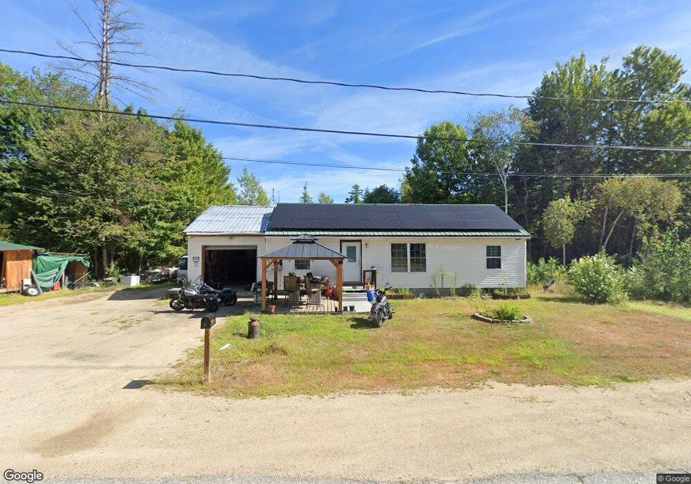
3 Spruce Ln Center Ossipee, NH 03814
Estimated Value: $330,000 - $413,000
3
Beds
1
Bath
1,000
Sq Ft
$367/Sq Ft
Est. Value
About This Home
This home is located at 3 Spruce Ln, Center Ossipee, NH 03814 and is currently estimated at $367,433, approximately $367 per square foot. 3 Spruce Ln is a home located in Carroll County with nearby schools including Ossipee Central School, Kingswood Regional Middle School, and Kingswood Regional High School.
Ownership History
Date
Name
Owned For
Owner Type
Purchase Details
Closed on
Feb 27, 2006
Sold by
Unknown
Bought by
White Anthony
Current Estimated Value
Home Financials for this Owner
Home Financials are based on the most recent Mortgage that was taken out on this home.
Original Mortgage
$116,250
Outstanding Balance
$65,700
Interest Rate
6.17%
Mortgage Type
Purchase Money Mortgage
Estimated Equity
$301,733
Create a Home Valuation Report for This Property
The Home Valuation Report is an in-depth analysis detailing your home's value as well as a comparison with similar homes in the area
Home Values in the Area
Average Home Value in this Area
Purchase History
| Date | Buyer | Sale Price | Title Company |
|---|---|---|---|
| White Anthony | $155,000 | -- |
Source: Public Records
Mortgage History
| Date | Status | Borrower | Loan Amount |
|---|---|---|---|
| Open | White Anthony | $116,250 |
Source: Public Records
Tax History
| Year | Tax Paid | Tax Assessment Tax Assessment Total Assessment is a certain percentage of the fair market value that is determined by local assessors to be the total taxable value of land and additions on the property. | Land | Improvement |
|---|---|---|---|---|
| 2024 | $3,721 | $320,800 | $138,700 | $182,100 |
| 2023 | $3,430 | $330,800 | $148,700 | $182,100 |
| 2022 | $2,740 | $149,100 | $40,100 | $109,000 |
| 2021 | $2,733 | $149,100 | $40,100 | $109,000 |
| 2020 | $2,542 | $149,100 | $40,100 | $109,000 |
| 2019 | $2,551 | $149,100 | $40,100 | $109,000 |
| 2018 | $2,573 | $123,700 | $30,300 | $93,400 |
| 2016 | $2,384 | $123,500 | $30,300 | $93,200 |
| 2015 | $2,264 | $123,500 | $30,300 | $93,200 |
| 2014 | $2,294 | $127,300 | $25,200 | $102,100 |
| 2013 | $2,214 | $127,300 | $25,200 | $102,100 |
Source: Public Records
Map
Nearby Homes
- 14 Folsom Rd
- 16 Hodsdon Shore Rd
- 1 Richard Rd
- 7 Scotch Pine Ln
- 88 Chickville Rd
- 55 Pine River Rd
- 7 Puritan Ln
- 12 Circle Rd
- 13 Benson Rd
- 1185 Route 16
- 27 Sugar Loaf Dr
- 12 Sugar Loaf Dr
- 8 Sugar Loaf Dr
- 9 Sugar Loaf Dr
- 7 Sugar Loaf Dr
- 101 Thurley Rd
- 30 Knox Mountain Rd
- 31 Pinder Mill Rd
- 1800 Route 16
- 140 Chickville Rd
- 16 Birch Tree Ln
- 5 Spruce Ln
- 2 Spruce Ln
- 4 Spruce Ln
- 6 Birch Tree Ln
- 11 Birch Tree Ln
- 18 Birch Tree Ln
- 44 Moultonville Rd
- 42 Moultonville Rd
- 15 Birch Tree Ln
- 38 Moultonville Rd
- 20 Birch Tree Ln
- 48 Moultonville Rd
- 47 Moultonville Rd
- 49 Moultonville Rd
- 45 Moultonville Rd
- 43 Moultonville Rd
- 34 Moultonville Rd
- 41 Moultonville Rd
- 39 Moultonville Rd
Your Personal Tour Guide
Ask me questions while you tour the home.