3 Starboard Ln Unit 1 Moultonborough, NH 03254
Estimated Value: $1,221,973 - $1,536,000
3
Beds
3
Baths
2,142
Sq Ft
$628/Sq Ft
Est. Value
About This Home
This home is located at 3 Starboard Ln Unit 1, Moultonborough, NH 03254 and is currently estimated at $1,344,993, approximately $627 per square foot. 3 Starboard Ln Unit 1 is a home located in Carroll County with nearby schools including Moultonborough Central School and Moultonborough Academy High School.
Ownership History
Date
Name
Owned For
Owner Type
Purchase Details
Closed on
Jan 14, 2011
Sold by
Mccormack Francis J and Mccormack Jo Anne
Bought by
Cleborne Guy E and Cleborne Cynthia H
Current Estimated Value
Home Financials for this Owner
Home Financials are based on the most recent Mortgage that was taken out on this home.
Original Mortgage
$225,000
Outstanding Balance
$151,032
Interest Rate
4.46%
Mortgage Type
Purchase Money Mortgage
Estimated Equity
$1,193,961
Create a Home Valuation Report for This Property
The Home Valuation Report is an in-depth analysis detailing your home's value as well as a comparison with similar homes in the area
Home Values in the Area
Average Home Value in this Area
Purchase History
| Date | Buyer | Sale Price | Title Company |
|---|---|---|---|
| Cleborne Guy E | $420,000 | -- |
Source: Public Records
Mortgage History
| Date | Status | Borrower | Loan Amount |
|---|---|---|---|
| Open | Cleborne Guy E | $225,000 |
Source: Public Records
Tax History Compared to Growth
Tax History
| Year | Tax Paid | Tax Assessment Tax Assessment Total Assessment is a certain percentage of the fair market value that is determined by local assessors to be the total taxable value of land and additions on the property. | Land | Improvement |
|---|---|---|---|---|
| 2024 | $6,475 | $1,146,100 | $0 | $1,146,100 |
| 2023 | $5,298 | $929,400 | $0 | $929,400 |
| 2022 | $3,979 | $832,500 | $0 | $832,500 |
| 2021 | $4,867 | $697,300 | $0 | $697,300 |
| 2020 | $4,717 | $661,600 | $0 | $661,600 |
| 2019 | $3,907 | $546,500 | $0 | $546,500 |
| 2018 | $4,160 | $538,900 | $0 | $538,900 |
| 2017 | $4,211 | $512,300 | $0 | $512,300 |
| 2016 | $4,379 | $501,000 | $0 | $501,000 |
| 2015 | $3,770 | $418,400 | $0 | $418,400 |
| 2014 | $3,645 | $411,400 | $0 | $411,400 |
| 2013 | $3,230 | $371,700 | $0 | $371,700 |
Source: Public Records
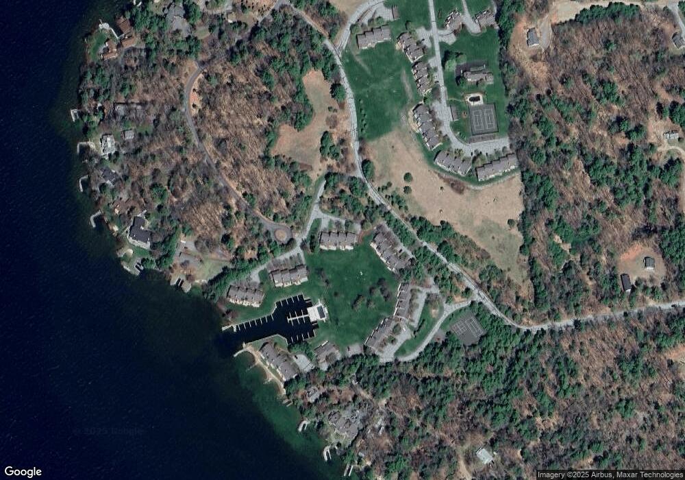
Map
Nearby Homes
- 9 Starboard Ln Unit 1
- 47 Pot O Beans Rd
- 00 Rivers Rd
- 167 Long Island Rd
- 10 Woodridge Rd
- 16 Long Island Rd
- 00 Beede Rd
- 23 Cow Island
- 14 Island View Dr
- 31 Rays Way
- 19 Wawbeek Rd Unit one
- 5 Ferry Rd
- 7 Flint Dr
- 1 Barbers Pole Rd Unit 2
- 323 Governor Wentworth Hwy
- 41 Happy Homes Rd
- 5 Bennett Farm Rd
- 3 Brewster Rd
- 29 Kona Farm Rd
- 4 Mill Pond Rd
- 3 Starboard Ln Unit 2
- 3 Starboard Ln
- 3 Starboard Ln Unit 4
- 4 Portside Dr Unit 1
- 4 Portside Dr Unit 2
- 4 Portside Dr Unit 3
- 4 Portside Dr
- 4 Portside Dr Unit 5
- 4 Portside Dr Unit 4
- 7 Starboard Ln Unit 1
- 7 Starboard Ln Unit 2
- 7 Starboard Ln Unit 3
- 7 Starboard Ln Unit 4
- 9 Starboard Ln Unit 2
- 9 Starboard Ln Unit 3
- 9 Starboard Ln Unit 4
- 9 Starboard Ln
- 2 Portside Dr Unit 2
- 2 Portside Dr Unit 1
- 2 Portside Dr