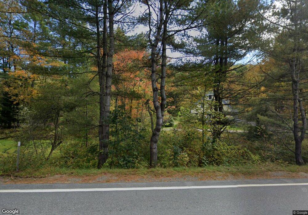
3 Tannery Rd Gilsum, NH 03448
Estimated Value: $243,000 - $438,786
4
Beds
2
Baths
2,928
Sq Ft
$126/Sq Ft
Est. Value
About This Home
This home is located at 3 Tannery Rd, Gilsum, NH 03448 and is currently estimated at $368,947, approximately $126 per square foot. 3 Tannery Rd is a home with nearby schools including Gilsum STEAM Academy and Leaf Charter School.
Ownership History
Date
Name
Owned For
Owner Type
Purchase Details
Closed on
Sep 16, 2003
Sold by
Edward O Malott T
Bought by
Bryce Barbara A
Current Estimated Value
Home Financials for this Owner
Home Financials are based on the most recent Mortgage that was taken out on this home.
Original Mortgage
$100,000
Interest Rate
6.22%
Create a Home Valuation Report for This Property
The Home Valuation Report is an in-depth analysis detailing your home's value as well as a comparison with similar homes in the area
Home Values in the Area
Average Home Value in this Area
Purchase History
| Date | Buyer | Sale Price | Title Company |
|---|---|---|---|
| Bryce Barbara A | $186,000 | -- |
Source: Public Records
Mortgage History
| Date | Status | Borrower | Loan Amount |
|---|---|---|---|
| Open | Bryce Barbara A | $77,000 | |
| Closed | Bryce Barbara A | $100,000 |
Source: Public Records
Tax History Compared to Growth
Tax History
| Year | Tax Paid | Tax Assessment Tax Assessment Total Assessment is a certain percentage of the fair market value that is determined by local assessors to be the total taxable value of land and additions on the property. | Land | Improvement |
|---|---|---|---|---|
| 2024 | $6,473 | $445,200 | $91,500 | $353,700 |
| 2023 | $5,750 | $220,900 | $54,400 | $166,500 |
| 2022 | $5,207 | $220,900 | $54,400 | $166,500 |
| 2021 | $5,125 | $220,900 | $54,400 | $166,500 |
| 2020 | $5,688 | $220,900 | $54,400 | $166,500 |
| 2019 | $6,187 | $220,900 | $54,400 | $166,500 |
| 2018 | $5,873 | $219,800 | $38,400 | $181,400 |
| 2017 | $6,513 | $219,800 | $38,400 | $181,400 |
| 2016 | $5,924 | $219,800 | $38,400 | $181,400 |
| 2015 | $5,870 | $220,000 | $38,400 | $181,600 |
| 2014 | $6,483 | $220,000 | $38,400 | $181,600 |
| 2013 | $6,703 | $248,800 | $50,400 | $198,400 |
Source: Public Records
Map
Nearby Homes
- 29&31 White Brook Rd
- 16 Nash Corner Rd
- 101 Gilsum Rd
- Lot 53 Apple Hill Rd
- 225B Belvedere Rd Unit B
- 24 White Brook Dr
- Lot 4 Belvedere Rd
- 105 South Rd
- 28 Village Rd
- 24 Village Rd
- 603 Route 12a
- 000 Old Gilsum Rd Unit 3
- 258 Valley Rd
- 32 Blueberry Hill Ln
- 27 Shadowland Rd
- 96 Maclean Rd
- 00 Alstead Center Rd
- 33 Maclean Rd
- 0 Old Gilsum Rd Unit 5034729
- 0 Old Walpole Rd Unit 1
- 625 New Hampshire 10
- 625 Route 10
- 7 Tannery Rd
- 626 New Hampshire 10
- 623 New Hampshire 10
- 623 Route 10
- 0 New Hampshire 10
- 2 Church St
- 767 New Hampshire 10
- 622 Route 10
- 634 New Hampshire 10
- 634 Route 10
- 635 Route 10
- 4 Church St
- 10 Memorial St
- 620 Route 10
- 619 Route 10
- 638 Route 10
- 14 Memorial St
- 11 Main St
