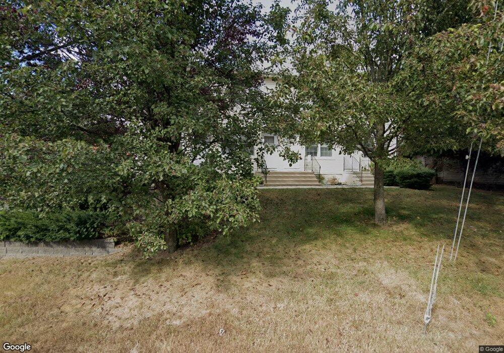
30 Broad St Unit 3 Norwalk, CT 06851
Downtown Norwalk NeighborhoodEstimated Value: $427,000 - $440,000
2
Beds
2
Baths
1,066
Sq Ft
$407/Sq Ft
Est. Value
About This Home
This home is located at 30 Broad St Unit 3, Norwalk, CT 06851 and is currently estimated at $433,403, approximately $406 per square foot. 30 Broad St Unit 3 is a home located in Fairfield County with nearby schools including Silvermine Elementary School, West Rocks Middle School, and Norwalk High School.
Ownership History
Date
Name
Owned For
Owner Type
Purchase Details
Closed on
Aug 11, 2004
Sold by
Hinco Llc
Bought by
Acevedo Juscelino M and Viesto Melissa S
Current Estimated Value
Home Financials for this Owner
Home Financials are based on the most recent Mortgage that was taken out on this home.
Original Mortgage
$247,400
Interest Rate
6.16%
Create a Home Valuation Report for This Property
The Home Valuation Report is an in-depth analysis detailing your home's value as well as a comparison with similar homes in the area
Home Values in the Area
Average Home Value in this Area
Purchase History
| Date | Buyer | Sale Price | Title Company |
|---|---|---|---|
| Acevedo Juscelino M | $274,900 | -- | |
| Acevedo Juscelino M | $274,900 | -- |
Source: Public Records
Mortgage History
| Date | Status | Borrower | Loan Amount |
|---|---|---|---|
| Closed | Acevedo Juscelino M | $45,000 | |
| Open | Acevedo Juscelino M | $270,400 | |
| Closed | Acevedo Juscelino M | $270,750 | |
| Closed | Acevedo Juscelino M | $247,400 |
Source: Public Records
Tax History Compared to Growth
Tax History
| Year | Tax Paid | Tax Assessment Tax Assessment Total Assessment is a certain percentage of the fair market value that is determined by local assessors to be the total taxable value of land and additions on the property. | Land | Improvement |
|---|---|---|---|---|
| 2025 | $5,927 | $247,500 | $0 | $247,500 |
| 2024 | $5,839 | $247,500 | $0 | $247,500 |
| 2023 | $4,753 | $188,890 | $0 | $188,890 |
| 2022 | $4,664 | $188,890 | $0 | $188,890 |
| 2021 | $4,543 | $188,890 | $0 | $188,890 |
| 2020 | $4,540 | $188,890 | $0 | $188,890 |
| 2019 | $4,413 | $188,890 | $0 | $188,890 |
| 2018 | $4,875 | $182,860 | $0 | $182,860 |
| 2017 | $4,708 | $182,860 | $0 | $182,860 |
| 2016 | $4,663 | $182,860 | $0 | $182,860 |
| 2015 | $4,650 | $182,860 | $0 | $182,860 |
| 2014 | $4,590 | $182,860 | $0 | $182,860 |
Source: Public Records
Map
Nearby Homes
- 14 Sniffen St
- 13 Slocum St
- 34 Lakeview Dr
- 46 Silvermine Ave
- 15 Perry Ave Unit 10A
- 28 Aiken St
- 50 Aiken St Unit 312
- 50 Aiken St Unit 241
- 50 Aiken St Unit 305
- 50 Aiken St Unit 223
- 50 Aiken St Unit 225
- 50 Aiken St Unit 382
- 15 Delaware Ave
- 25 Grand St Unit 204
- 33 Center Ave
- 71 Aiken St Unit J11
- 71 Aiken St Unit P12
- 34 Sunrise Hill Rd
- 10 Parallel St
- 46 Sunrise Hill Rd
- 30 Broad St Unit 4
- 30 Broad St Unit 2
- 30 Broad St Unit 1
- 3 Pulaski St
- 8 Davis St
- 24 Broad St
- 17 Pulaski St
- 20 Davis St
- 8 Pulaski St Unit 2 D
- 8 Pulaski St Unit 3H
- 8 Pulaski St Unit 1 B
- 8 Pulaski St Unit 1 A
- 8 Pulaski St Unit 2 K
- 8 Pulaski St Unit D 2
- 22 Broad St
- 61 Plattsville Ave Unit B1
- 61 Plattsville Ave Unit A1
- 61 Plattsville Ave Unit B2
- 61 Plattsville Ave Unit A2
- 19 Pulaski St