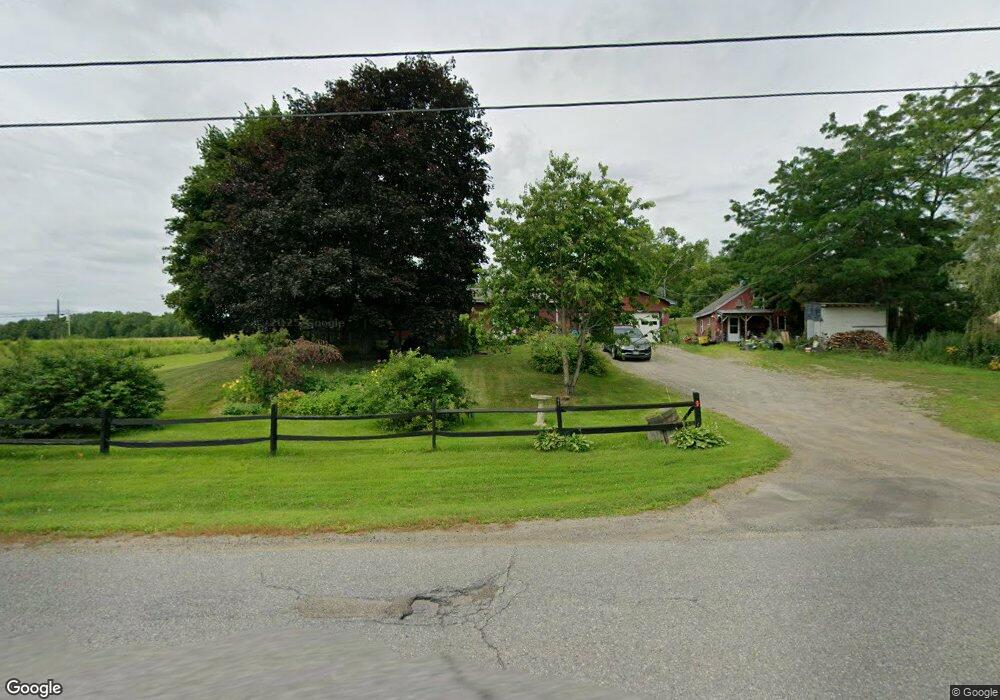
30 Eames Rd Winslow, ME 04901
Estimated Value: $270,000 - $368,000
3
Beds
1
Bath
1,552
Sq Ft
$200/Sq Ft
Est. Value
About This Home
This home is located at 30 Eames Rd, Winslow, ME 04901 and is currently estimated at $310,060, approximately $199 per square foot. 30 Eames Rd is a home located in Kennebec County with nearby schools including Winslow Elementary School, Winslow Junior High School, and Winslow High School.
Ownership History
Date
Name
Owned For
Owner Type
Purchase Details
Closed on
Mar 16, 2007
Sold by
Burnham Bryn L
Bought by
Lively Tawni L and Lively Edwin J
Current Estimated Value
Home Financials for this Owner
Home Financials are based on the most recent Mortgage that was taken out on this home.
Original Mortgage
$130,450
Outstanding Balance
$81,327
Interest Rate
7%
Mortgage Type
Adjustable Rate Mortgage/ARM
Estimated Equity
$228,733
Create a Home Valuation Report for This Property
The Home Valuation Report is an in-depth analysis detailing your home's value as well as a comparison with similar homes in the area
Home Values in the Area
Average Home Value in this Area
Purchase History
| Date | Buyer | Sale Price | Title Company |
|---|---|---|---|
| Lively Tawni L | -- | -- |
Source: Public Records
Mortgage History
| Date | Status | Borrower | Loan Amount |
|---|---|---|---|
| Open | Lively Tawni L | $130,450 | |
| Closed | Lively Tawni L | $32,650 |
Source: Public Records
Tax History
| Year | Tax Paid | Tax Assessment Tax Assessment Total Assessment is a certain percentage of the fair market value that is determined by local assessors to be the total taxable value of land and additions on the property. | Land | Improvement |
|---|---|---|---|---|
| 2024 | $3,311 | $220,700 | $42,000 | $178,700 |
| 2023 | $3,311 | $220,700 | $42,000 | $178,700 |
| 2022 | $2,135 | $130,800 | $28,800 | $102,000 |
| 2021 | $2,489 | $123,200 | $28,800 | $94,400 |
| 2020 | $2,319 | $123,200 | $28,800 | $94,400 |
| 2019 | $2,296 | $123,200 | $28,800 | $94,400 |
| 2018 | $2,210 | $123,200 | $28,800 | $94,400 |
| 2017 | $2,062 | $123,200 | $28,800 | $94,400 |
| 2016 | $1,939 | $123,200 | $28,800 | $94,400 |
| 2015 | $1,941 | $125,200 | $30,800 | $94,400 |
| 2014 | $1,941 | $125,200 | $30,800 | $94,400 |
Source: Public Records
Map
Nearby Homes
- 436 N Pond Rd
- 17 Averill Mobile Home Park
- 653 Abbott Rd
- 3 Blue Heron Ln
- 323 Neck Rd
- 137 Heywood Rd
- Lot 4 Peachtree Ln
- 38 Corbett Ln
- 17 Hapworth Ln
- 95 N Reynolds Rd
- 3 Bunker Ave
- 19 Bunker Ave
- 158 Clinton Ave
- 2 Gibson St
- 51 N Reynolds Rd
- 118 Halifax St
- 5 Mar-Val Terrace Unit C2
- 5 Mar Val Terrace Unit B1
- 29 Lawrence Ave
- 17 Burrill St
Your Personal Tour Guide
Ask me questions while you tour the home.