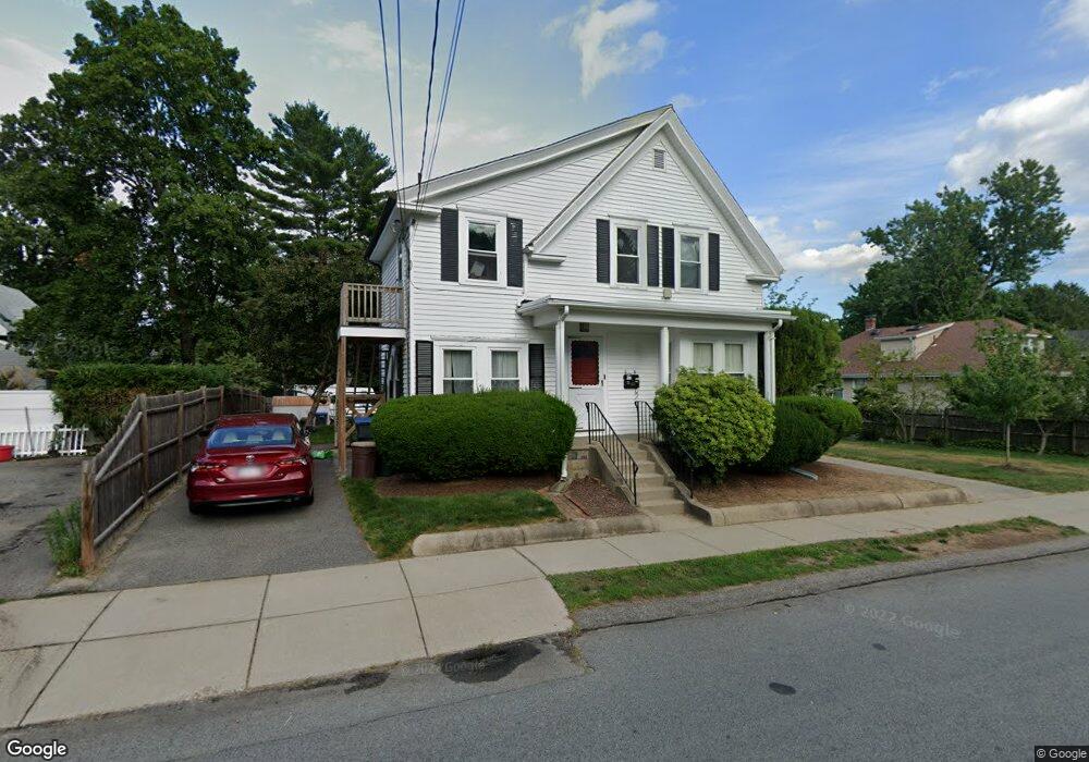
30 Forest Ave Natick, MA 01760
Estimated Value: $573,000 - $778,000
4
Beds
2
Baths
1,644
Sq Ft
$436/Sq Ft
Est. Value
About This Home
This home is located at 30 Forest Ave, Natick, MA 01760 and is currently estimated at $715,966, approximately $435 per square foot. 30 Forest Ave is a home located in Middlesex County with nearby schools including Natick High School, Johnson Elementary School, and J F Kennedy Middle School.
Ownership History
Date
Name
Owned For
Owner Type
Purchase Details
Closed on
Nov 5, 2024
Sold by
Condon Douglas D
Bought by
Douglas D Condon Ft and Condon
Current Estimated Value
Purchase Details
Closed on
May 12, 2000
Sold by
Condon Marjorie B
Bought by
Condon Douglas D
Home Financials for this Owner
Home Financials are based on the most recent Mortgage that was taken out on this home.
Original Mortgage
$174,600
Interest Rate
8.21%
Mortgage Type
Purchase Money Mortgage
Create a Home Valuation Report for This Property
The Home Valuation Report is an in-depth analysis detailing your home's value as well as a comparison with similar homes in the area
Home Values in the Area
Average Home Value in this Area
Purchase History
| Date | Buyer | Sale Price | Title Company |
|---|---|---|---|
| Douglas D Condon Ft | -- | None Available | |
| Douglas D Condon Ft | -- | None Available | |
| Condon Douglas D | $200,000 | -- |
Source: Public Records
Mortgage History
| Date | Status | Borrower | Loan Amount |
|---|---|---|---|
| Previous Owner | Condon Douglas D | $267,000 | |
| Previous Owner | Condon Douglas D | $174,600 |
Source: Public Records
Tax History
| Year | Tax Paid | Tax Assessment Tax Assessment Total Assessment is a certain percentage of the fair market value that is determined by local assessors to be the total taxable value of land and additions on the property. | Land | Improvement |
|---|---|---|---|---|
| 2025 | $8,084 | $675,900 | $459,900 | $216,000 |
| 2024 | $7,792 | $635,600 | $434,400 | $201,200 |
| 2023 | $7,852 | $621,200 | $407,900 | $213,300 |
| 2022 | $7,609 | $570,400 | $371,400 | $199,000 |
| 2021 | $7,317 | $537,600 | $351,100 | $186,500 |
| 2020 | $6,781 | $498,200 | $320,600 | $177,600 |
| 2019 | $6,332 | $498,200 | $320,600 | $177,600 |
| 2018 | $5,849 | $448,200 | $305,300 | $142,900 |
| 2017 | $5,642 | $418,200 | $271,600 | $146,600 |
| 2016 | $5,348 | $394,100 | $256,600 | $137,500 |
| 2015 | $5,488 | $397,100 | $256,600 | $140,500 |
Source: Public Records
Map
Nearby Homes
- 25 Forest Ave
- 6 Floral Avenue Extension
- 5 Reynolds Ave Unit 2
- 16 West St
- 62 Oakland St
- 12 Floral Ave
- 216-218 S Main St
- 7 High St
- 63 Pond St
- 14 Pinewood Ave
- 89 W Central St
- 49 Summer St
- 45 Summer St
- 9 Bellevue Rd
- 11 Avon St
- 10 Lincoln St Unit 10
- 6A Lincoln St Unit 6A
- 4B Lincoln St Unit 4B
- 3A Wilson St Unit 3A
- 3 Wilson St Unit 3B
Your Personal Tour Guide
Ask me questions while you tour the home.